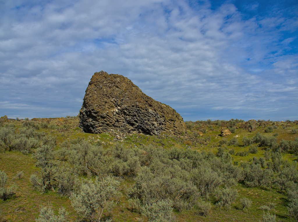
After an evening watching the sandhill cranes, and a night of listening to coyotes we were back on the road from Potholes Reservoir heading north to see more pieces of the Ice Age Floods puzzle. Our first stop of the day was the Ephrata Fan. We were essentially working ‘upstream’ following the floods, and the Ephrata Fan is an alluvial fan of sorts where massive debris settled after being ripped out of the basalt as the Grand Coulee was formed. There is a mixture of house size basalt rocks and Volkswagen sized granite boulders spread out for miles across the fan. Yet another testament to the power and volume of water that these floods contained.
Dry Falls
Continuing north our next stop was at Dry Falls. At 3.5 miles wide and 400 feet tall, the now dry rocky cliff is considered to be the largest waterfall in the world when the ice age flood waters spilled over the cliffs.

What is left now are essentially the plunge pools filled with water and on the day we visited, plenty of anglers. We put together a string of trail segments to form a loop tour of the base of the falls, wandering below the cliff walls and Umatilla Rock that divides the large coulee in two.


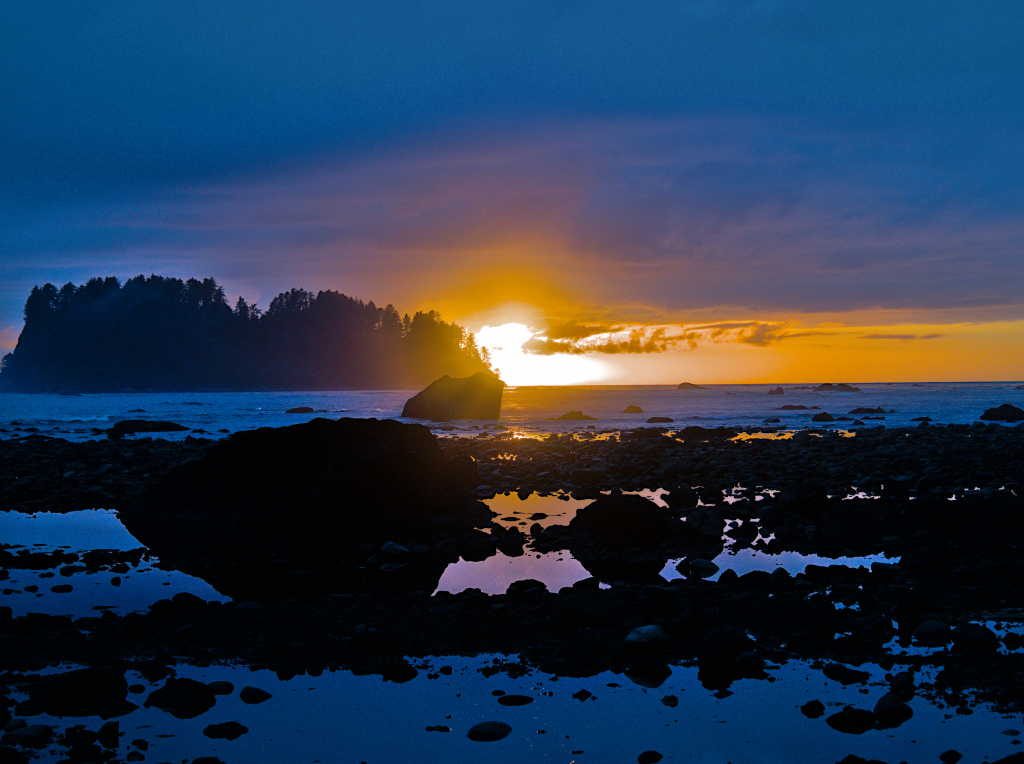
Since there is no water flowing here at all anymore it was hard to imagine the coulee filled with water and a falls that was five times the size of current day Niagara Falls.
Grand Coulee
Our next stop was just a hop to the top of the Dry Falls as we continued our trip north. Whoever named Grand Coulee sure picked the appropriate adjective in Grand. Today, water is pumped from the Columbia at Grand Coulee Dam to fill Banks Lake and supply water to the 700,000 or so acres irrigated by the Columbia Basin Project. The water filling the Coulee certainly gives it a different look than most of the other Coulees that either had pothole lakes or were bone dry. Steamboat Rock seemed to floating on Banks Lake, and would be our hike for the following day.

The next day we donned our rain gear and set out from the trailhead to check out the top of Steamboat Rock. After a few passing squalls, the day started to brighten up as we looped around the top of the rock.


The views from the top of Steamboat Rock are spectacular. I highly recommend spending part of the day hiking to the top of the rock and looping around the trail that follows the rim. We had the entire place to ourselves, with most people down below sitting out the day in their fifth wheels.
We did take a bit of time to stop off at Grand Coulee Dam and the visitor center. Dam tours were “closed for the season” (a constant theme for us) as was the laser lights show, which I guess is really a thing, but the visitor center provided a lot of interesting facts, figures and historical photos about the dam and the massive amount of power it produces.

Twin Lakes and Rock Creek – the final pieces of the puzzle
We had essentially reached the northern extent of the ice age floods. The puzzle we were putting together of the story of Washington’s portion of the Ice Age Floods was nearly complete. We turned back east with a few other stops in mind. We ended up taking a bunch of back roads through the sprawling farmland of eastern Washington. If we didn’t know any better, we might have thought we left all the evidence of those massive floods behind, gone was the dramatic topography of the Grand Coulee. But right where the map said it was, seemingly hidden between the farm fields was another indication that the floods passed this way. We ended up at Twin Lakes for the night, nestled in the bottom of Lake Creek Canyon, another feature that is the result of the floods.

It was extremely windy for our stay at Twin Lakes but we did take a morning walk along the rim to check out the scoured out drainage the floods left behind.

We continued to move in the direction of home but we had one more stop to make. We arrived at Rock Creek in the afternoon, time enough to look around the now abandoned Escure Ranch, once a sheep and cattle operation. It appears fairly modern as far as historic ranches go, but there are signs here and there that things are beginning to crumble.


We decided to stay another day at Rock Creek and give ourselves plenty of time to walk out to Towell Falls and back, and relax in the sun that showed up on our last full day following the story of the ice age floods.

The arrowleaf balsam root was blooming, as were the flowering shrubs (chokecherry, serviceberry, currant) and the green landscape seemed to be glowing in the spring sunshine.

We ended this trip with a stop to yet another falls, not quite as dramatic as our first stop at Palouse Falls, but a good destination nonetheless. There are several more pieces of the ice age puzzle out there, but we had pieced enough together to gain a bit of understanding to this landscape that once seemed confusing, or should I say ‘puzzling’? We had a final campfire, enjoyed one more night of owls hooting and coyotes singing, and headed for home.