The Gospel Hump Wilderness is fairly local to us, and it actually wasn’t on fire this year when we were able to go, so we packed up for an overnight, laced on the hiking boots and headed that way.
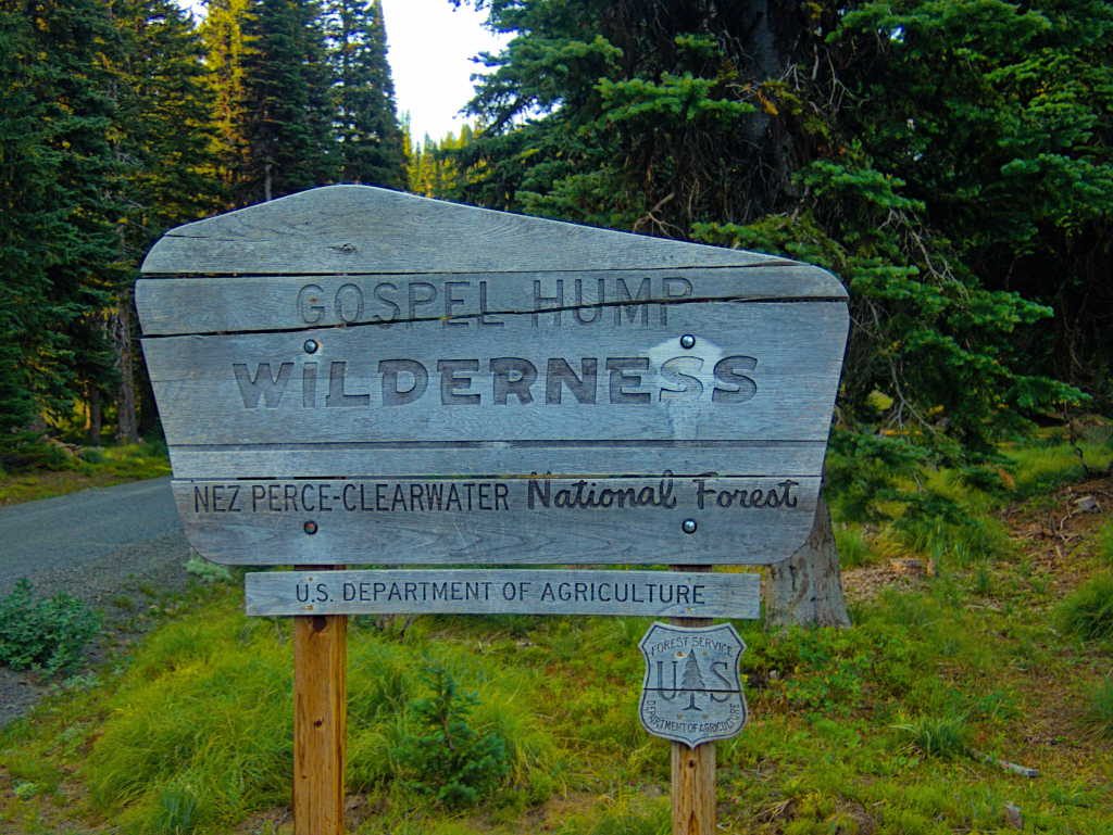
We’ve actually been in the neighborhood of the Gospel Hump several times, including last fall, but this was are first time to make it a primary destination for a trip. There is a ‘cherry stem’ road that takes you up high and right into the middle of the wilderness area, and that seemed like a good jumping off point for a couple of day hikes and exploring the access into the area.
From Grangeville the Grangeville / Salmon road gets you most of the way there, then the 444 road takes you high into the Gospels, nearly to 8000′ elevation. It’s a bit strange to have a road that provides access to the top of a wilderness area, with all trails leading down, but that is exactly the layout for the Gospel Hump.
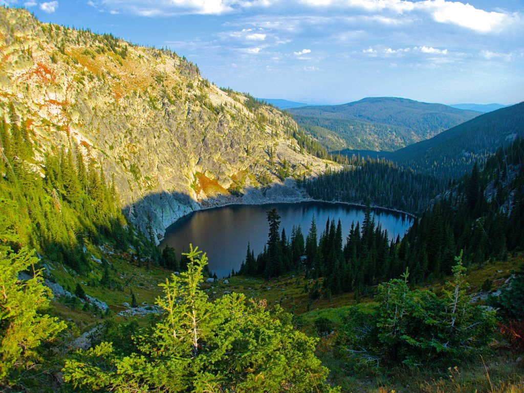
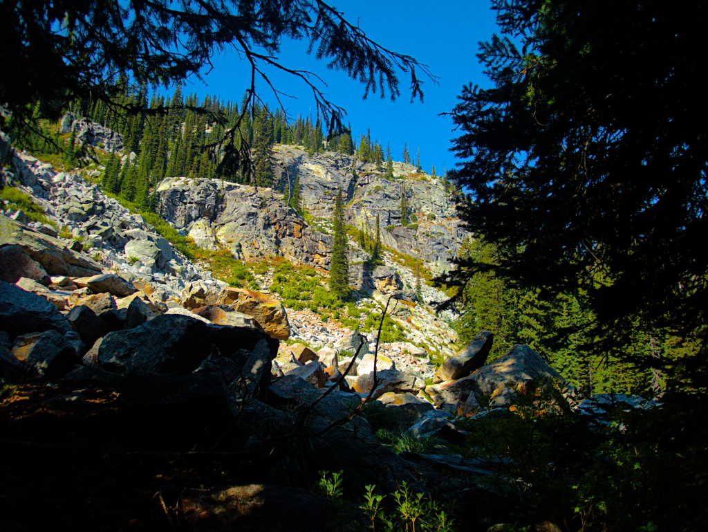
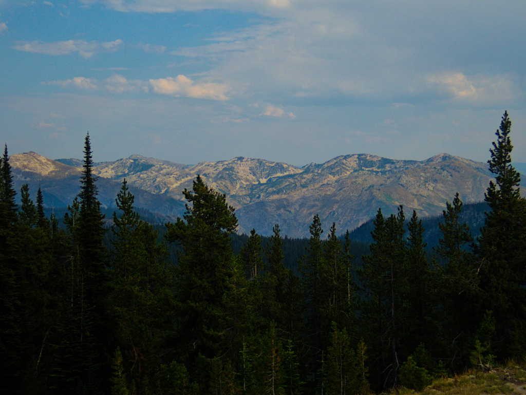
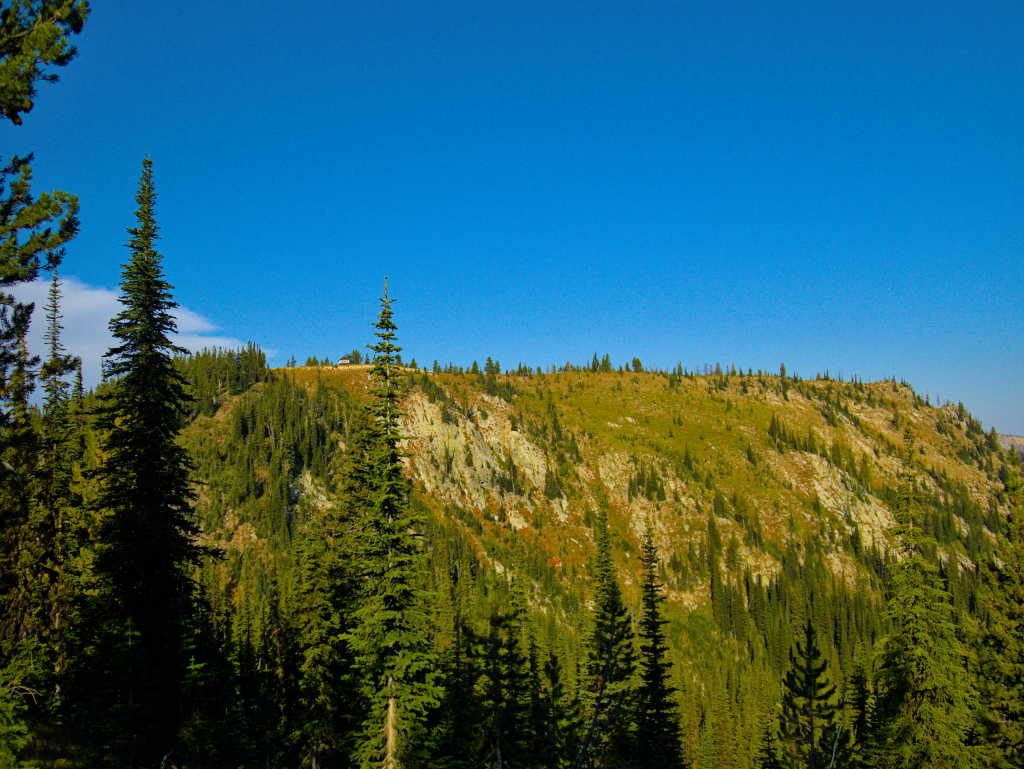
Some of the first trailheads you encounter take you into the Gospel Lakes (Lower, Middle and Upper), but those weren’t part of the day’s plan. The trail into the lower lake was faint but appeared to be there. The trail to the upper lake (above photo) appeared to be more of a rock scramble than a lake. It’s been our experience in this part of Idaho that you can’t rely on a trail to actually exist or be passable just because it is on the map. Part of this trip was to do some on the ground verification to see which trails that were on the map actually translated into existing in real life. We were pleasantly surprised.
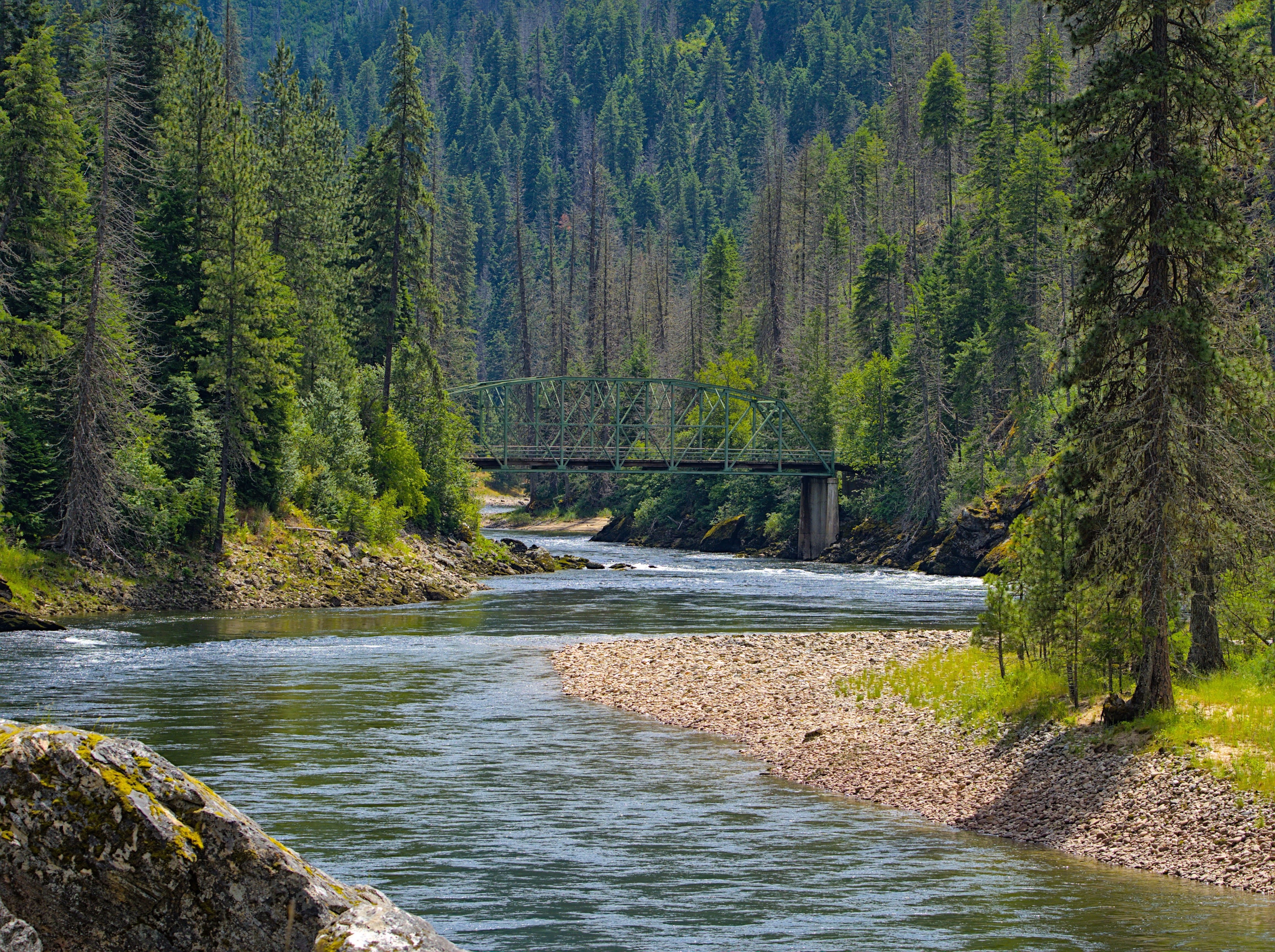
We continued up the road to the Moores Lake trailhead, our planned trail for the day. There were no other vehicles, and the trail did actually exist, both good signs.
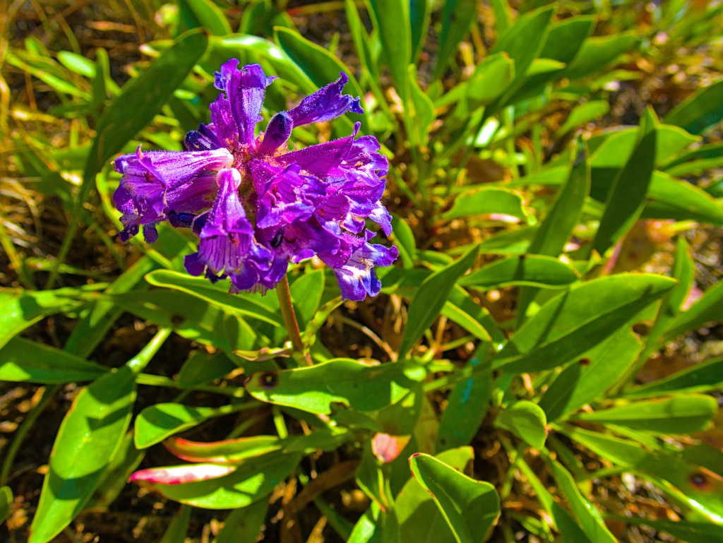
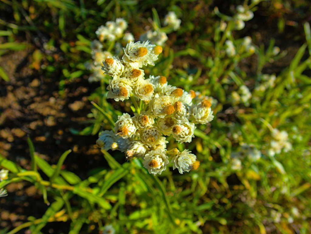
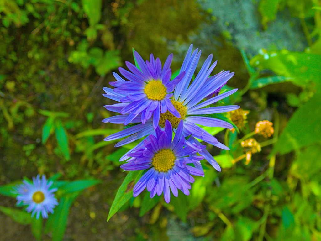
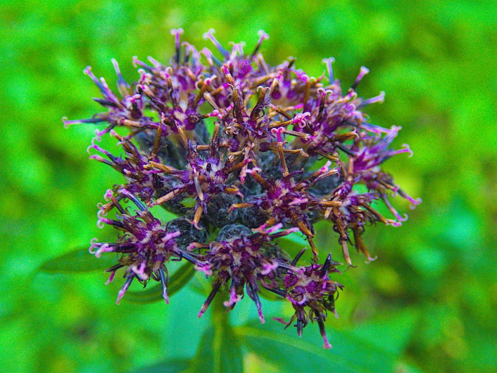
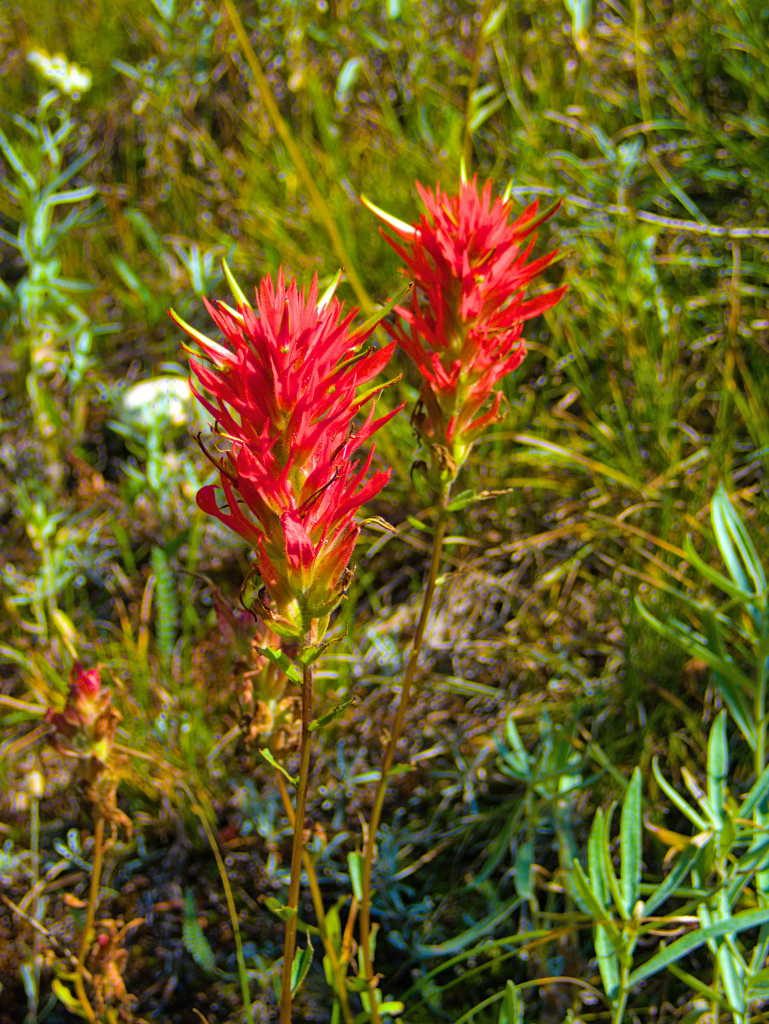
It was the first of September and it had been a hot and dry summer in this part of Idaho. We were pleasantly surprised to find several wildflowers still in bloom.
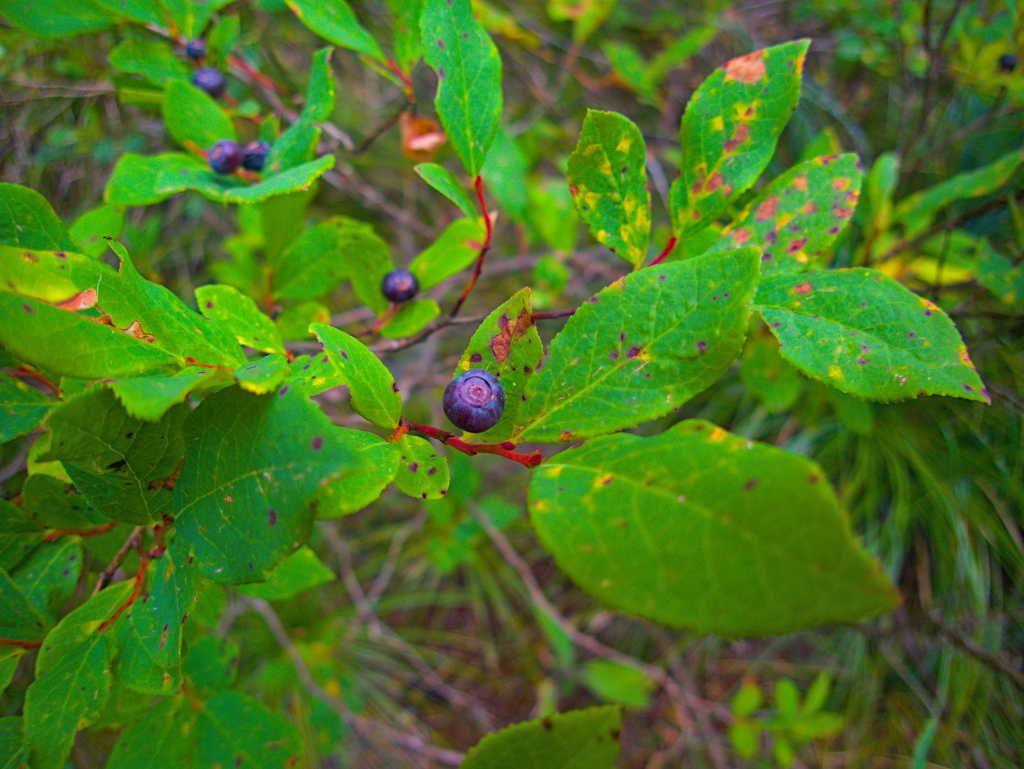
We continued downhill, to the lake, also discovering that the huckleberries were still ripe for the picking.
The granite in the Gospel Hump is pretty impressive too. Looks like a good spot for a pika to call home.
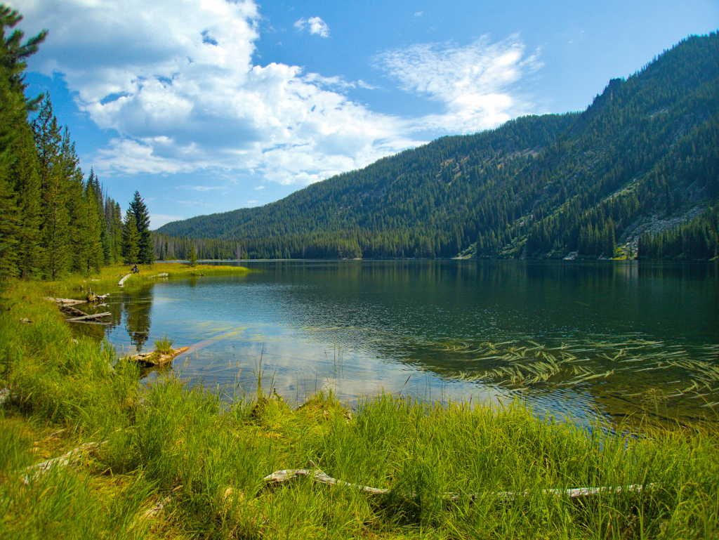
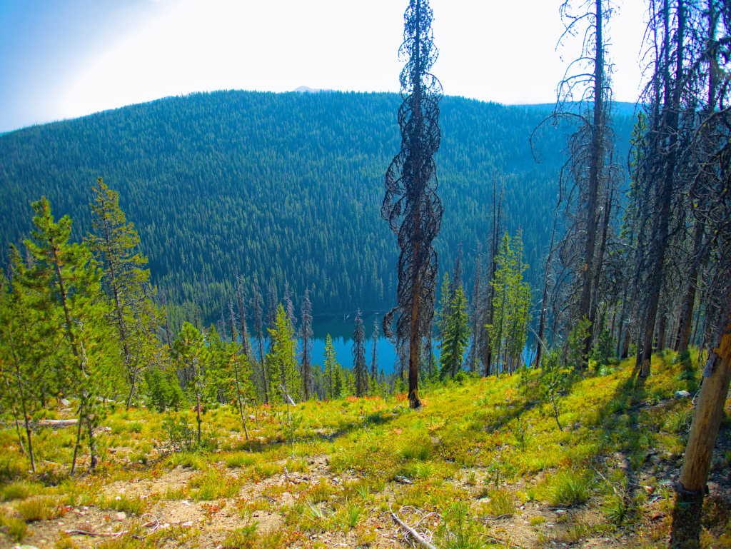
Before long we arrived at the lake. We attempted to continue to the far side, but the recent trail maintenance had ended at the lake, the remainder of what used to be the trail was covered in thick brush and obscured by a lot of deadfalls. That was the end of the line for us, so we picked a nice lunch spot and enjoyed views of the Moores Lake.
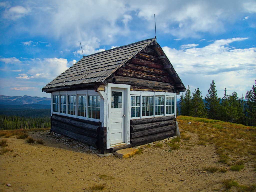
We climbed back to the trailhead and did a bit more exploring. We discovered the recently restored Square Mountain Lookout, built in 1931, at the end of the road.
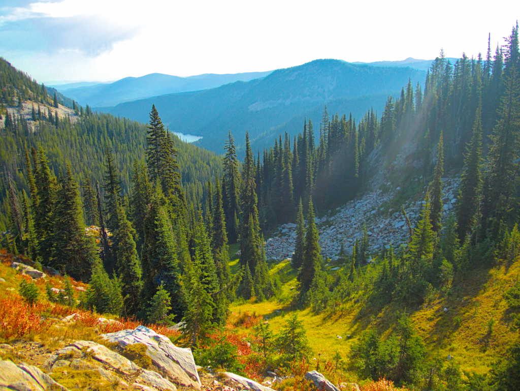
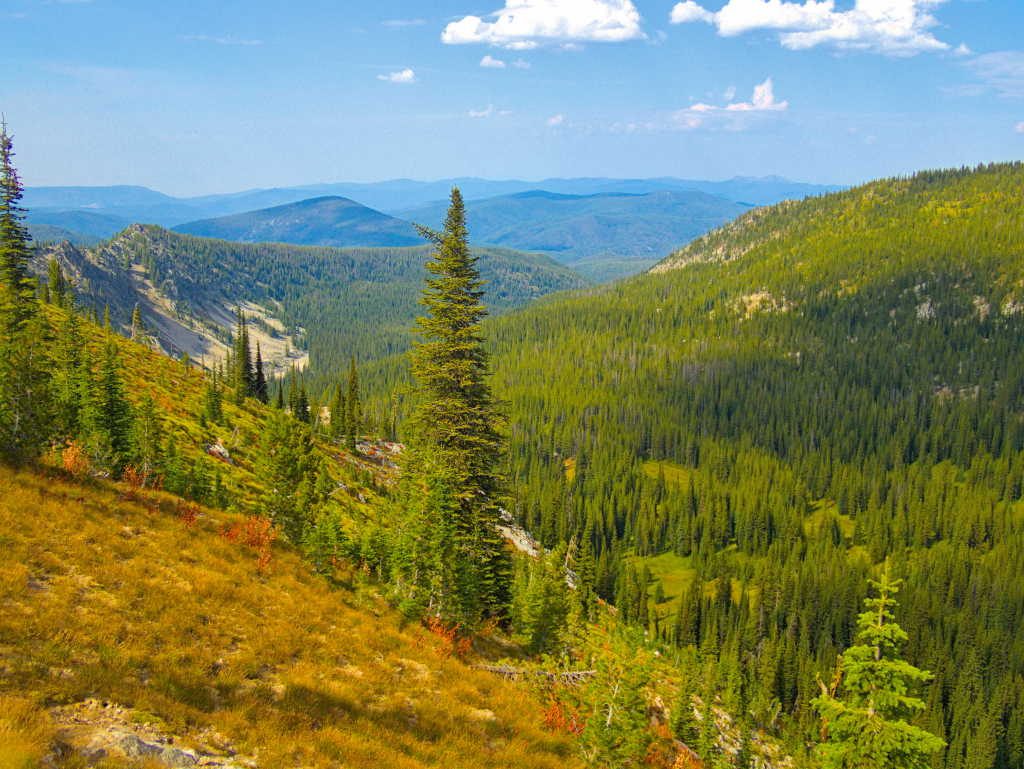
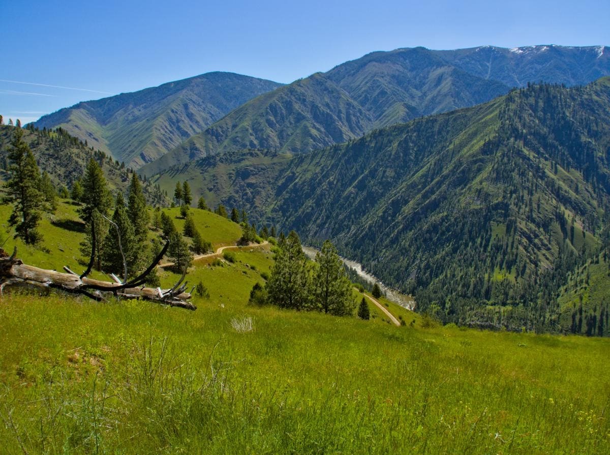
The views across the wilderness were suburb, with the prominent Buffalo Hump on the skyline on the other side of the wilderness area.
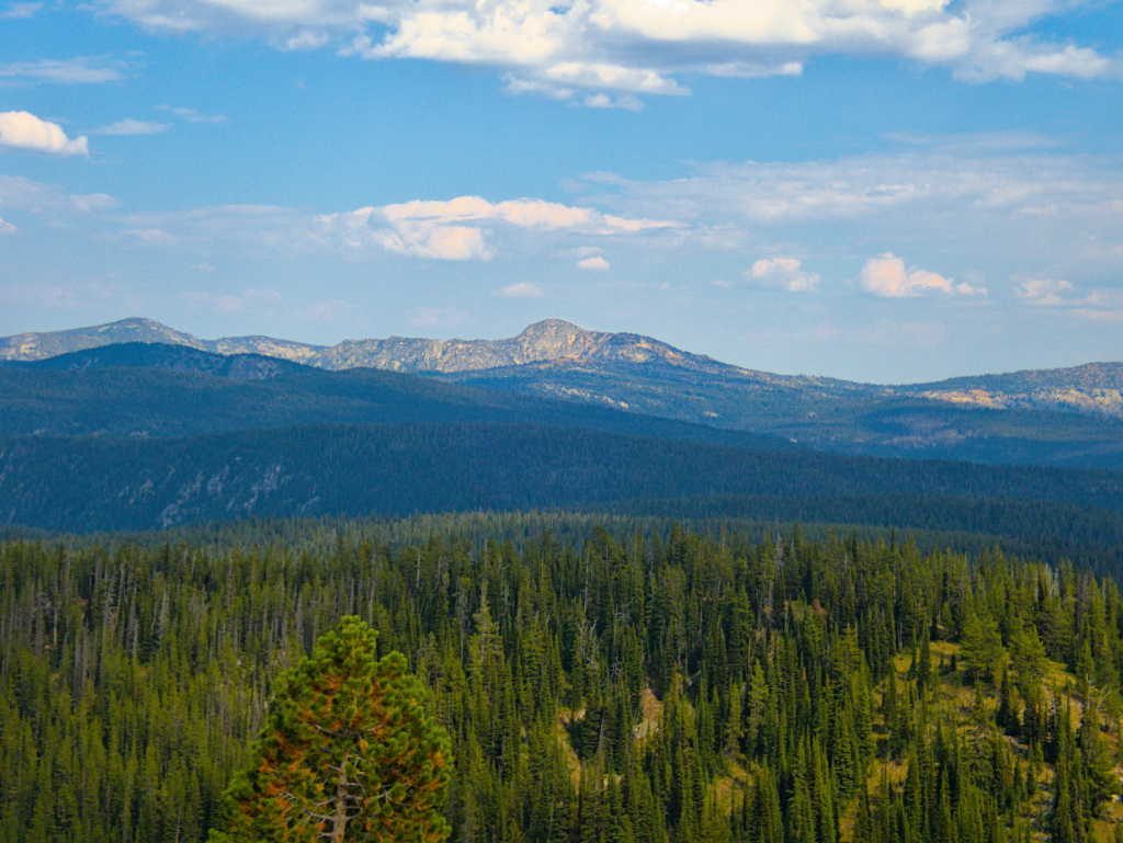
The North Pole is another high peak sharing the skyline in the above photo to the left of Buffalo Hump. Little did we know standing here that we’d be on top of the North Pole in another months time, but that’s a story for another post.
We took in the views and then retreated from the top of Square Mountain to find a camp for the night.
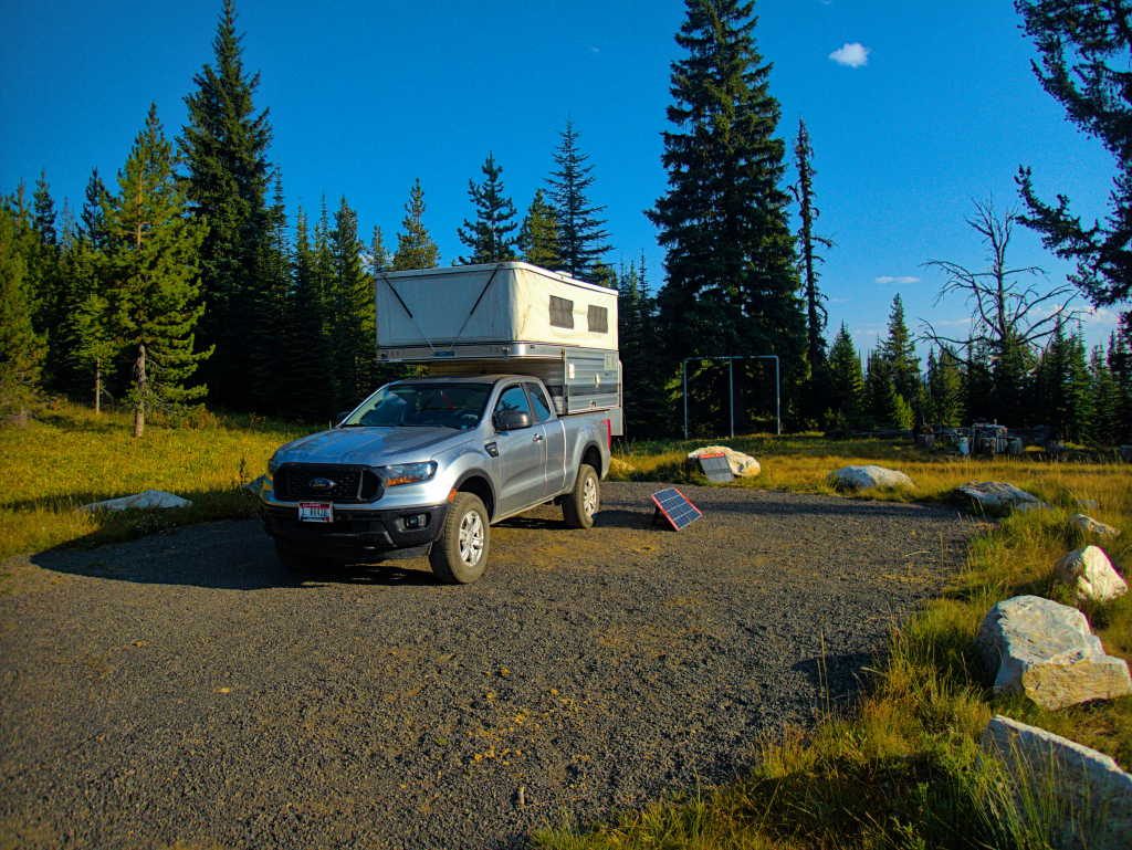
We didn’t have to go far, the Square Mountain trailhead was empty and was also set up for camping. With nobody else around this looked like the spot for us. We could spend the night and head out on the trail the next morning.
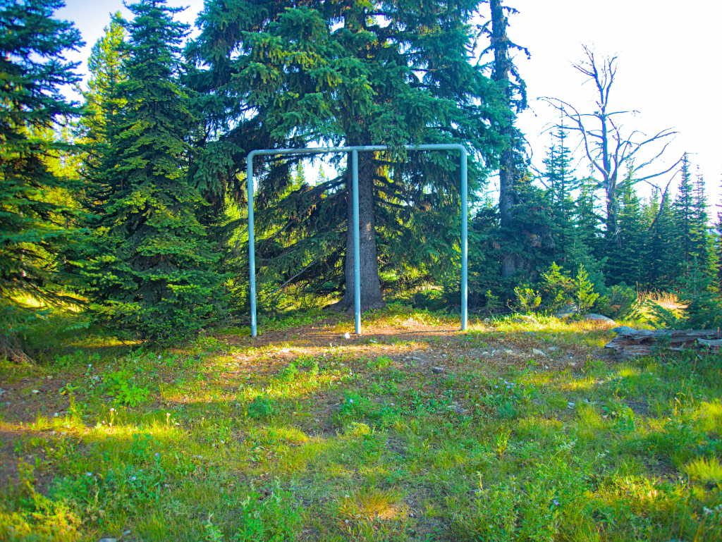
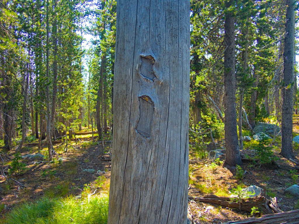
I’ve never seen such stout ‘meat poles’ as the ones found here. There must be some mighty big elk that come out of the Gospel Hump.
This site had to have one of the nicest granite fire places I’ve ever camped at. And surprisingly little garbage left from the previous inhabitant, which has become so common we have come to expect it.
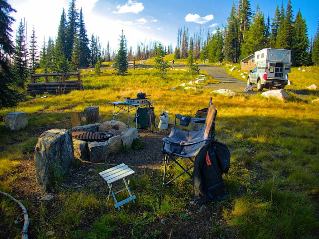
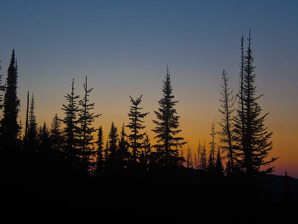
We sat back and enjoyed the cool, quiet evening as the sun set behind the trees.
The next morning we headed out on the Square Mountain trail, and were pleasantly surprised again to find the trail in good shape with signs of use. I was starting to think the only trails in this part of Idaho that ever got used were the motorized ones.
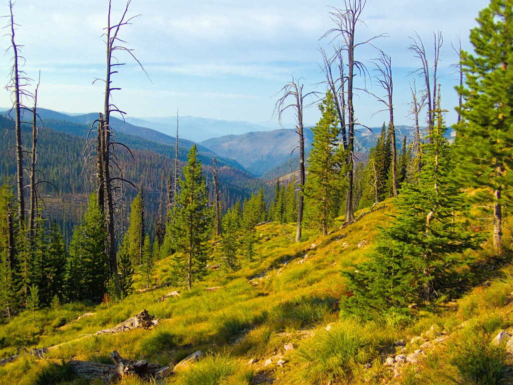
We continued out the ridge, and once again had the trail all to ourselves, if you don’t count cows (they certainly aren’t hikers). Our destination for the day was an overlook to Twin Lakes. It served as a good lunch spot and turnaround.
The Gospel Hump was a good escape – not far from home, a good access road, an surprisingly, most of the trails on the map seem to actually be hike-able in real life. With the high elevation it was a good 30 degrees cooler than home (just ~25 miles away as the crow flies). No crowds, wildflowers and nice exposed granite ridges. It doesn’t get any better than that! I think we’ll be back!
As always love your trips this year! You always go where I cannot, although have actually been to the Hoh rainforest on our trip there in 2023! Keep up the traveling and keep in touch, your friends Carol and Phil in Bend.
PS – how about a map showing where you went, I try to follow from the text and audio, but often lose you? Figuring out how far you have been is part of the fun.
Hi Carol, great to hear from you and thanks for taking the time to leave a comment. We do have a general map located here: https://occidentalist.org/map/ it will get you in the neighborhood of where we were for a given post. Maybe not as specific as you are looking for though.
Pingback: The Elk City Wagon Road and Beyond – Occidentalist