We’ve been on several sections of the Elk City Wagon Road but up until now, we hadn’t made a trip of driving the length of it. Time for that to change. After all, the road starts within a five minute drive of home!
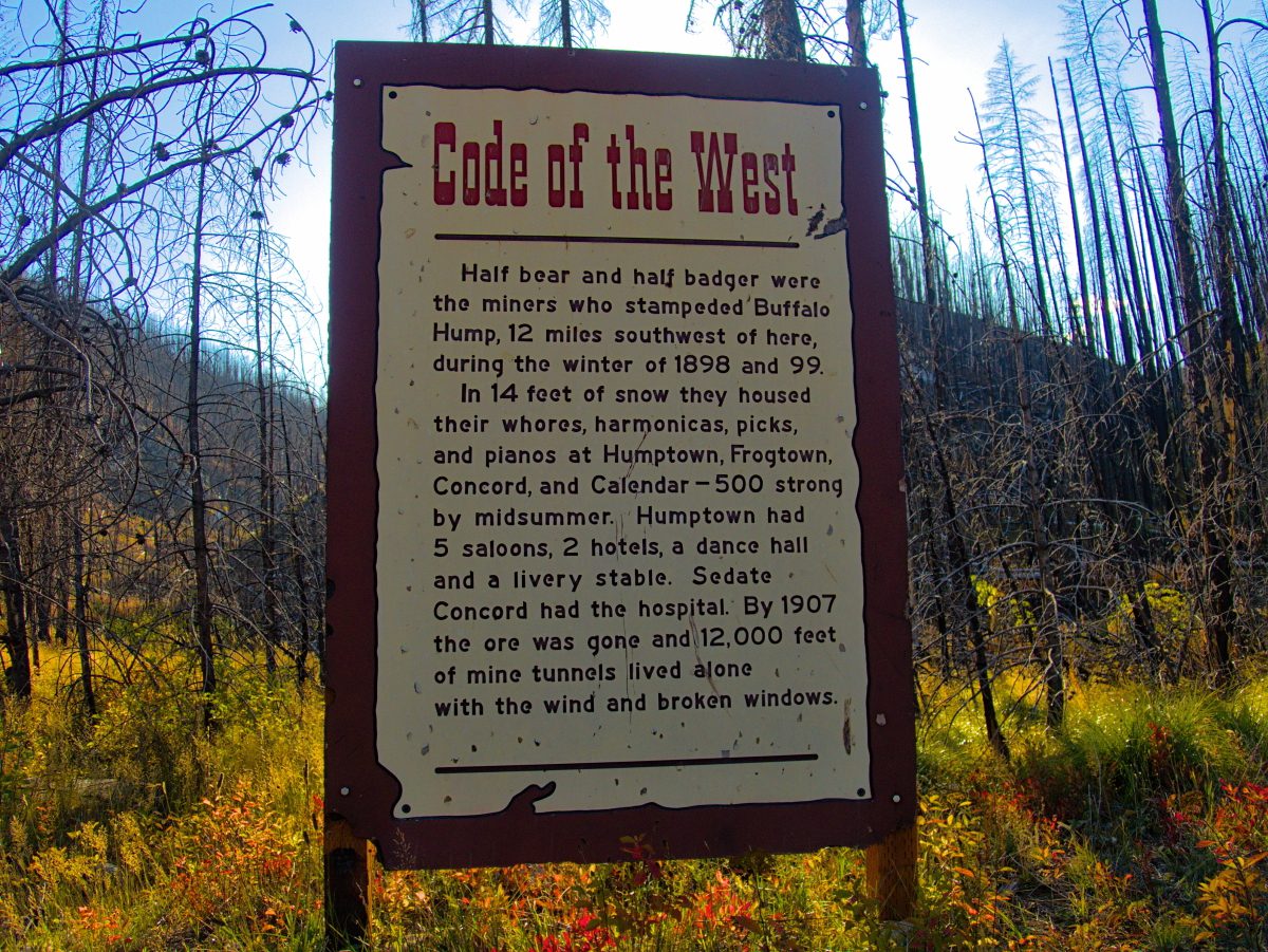
What is the Elk City Wagon Road? The road was constructed in 1894 and 1895 as a route from the South Fork of the Clearwater River to the goldfields of the Elk City area. Most of the route is still drivable today, even though there is very little left of the inns, stables and towns that popped up along the way to support the miners on their way to discover riches. It remained the main route to Elk City until the 1930’s.
Most of the story of our trip on the Wagon Road is told in the video below:
If you travel the Wagon Road be sure to take a good map and a copy of the Wagon Road historical booklet that details the points along the road.
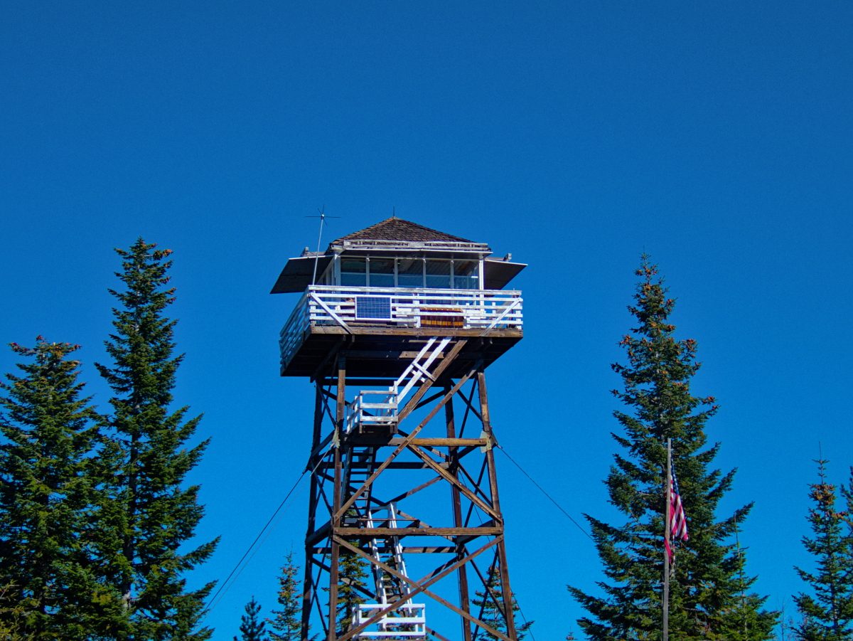
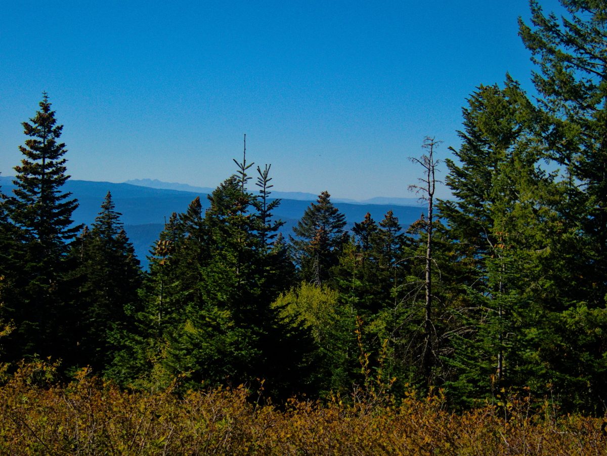
One of our stops along the way was the Corral Hill fire lookout. Luckily it was a clear fall day. From there we could see a good portion of north central Idaho and the Bitterroot Mountains that make up the border of Idaho and Montana.
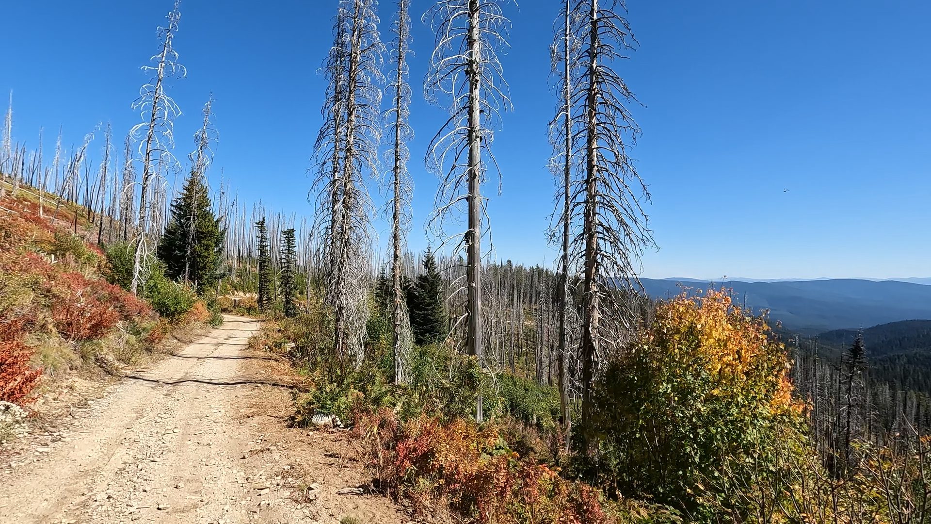
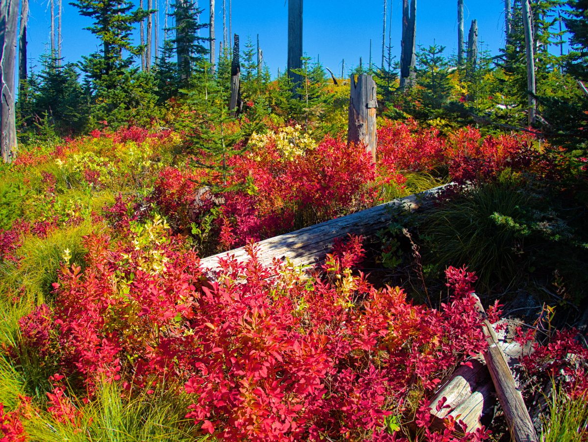
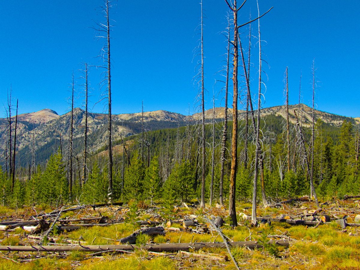
We stopped off along the way to hike along Silver Ridge. We didn’t find the grouse we were looking for, but the fall colors were vibrant in the abundant huckleberry shrubs.
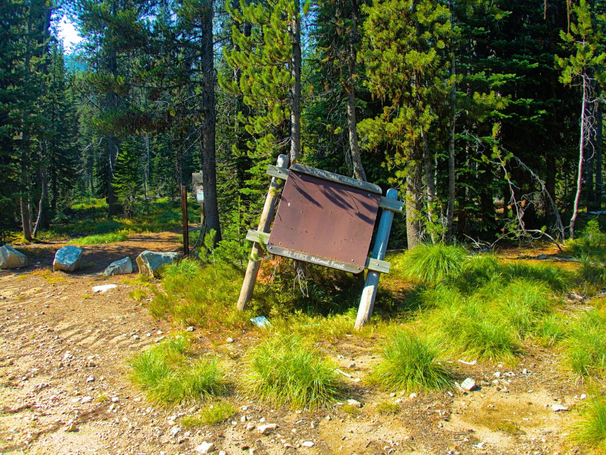
We made it to Elk City by mid-afternoon, so we stopped off at the Elk City store. If you are ever in Elk City, this is the place to go. They always have everything you need, and likely a few things you didn’t know you needed. We grabbed some fresh from the grinder house made sausage along with a few other menu items for the next couple days and headed toward Orogrande in search of a camp for the night. We ended up the Orogrande Summit and the next morning moved a bit further up the road to Wildhorse Lake. From there we hit the Crystal Lake Trail. The trailhead sign was a bit worse for wear, but we were happy to find the trail maintained and passable, not always a given in these parts!
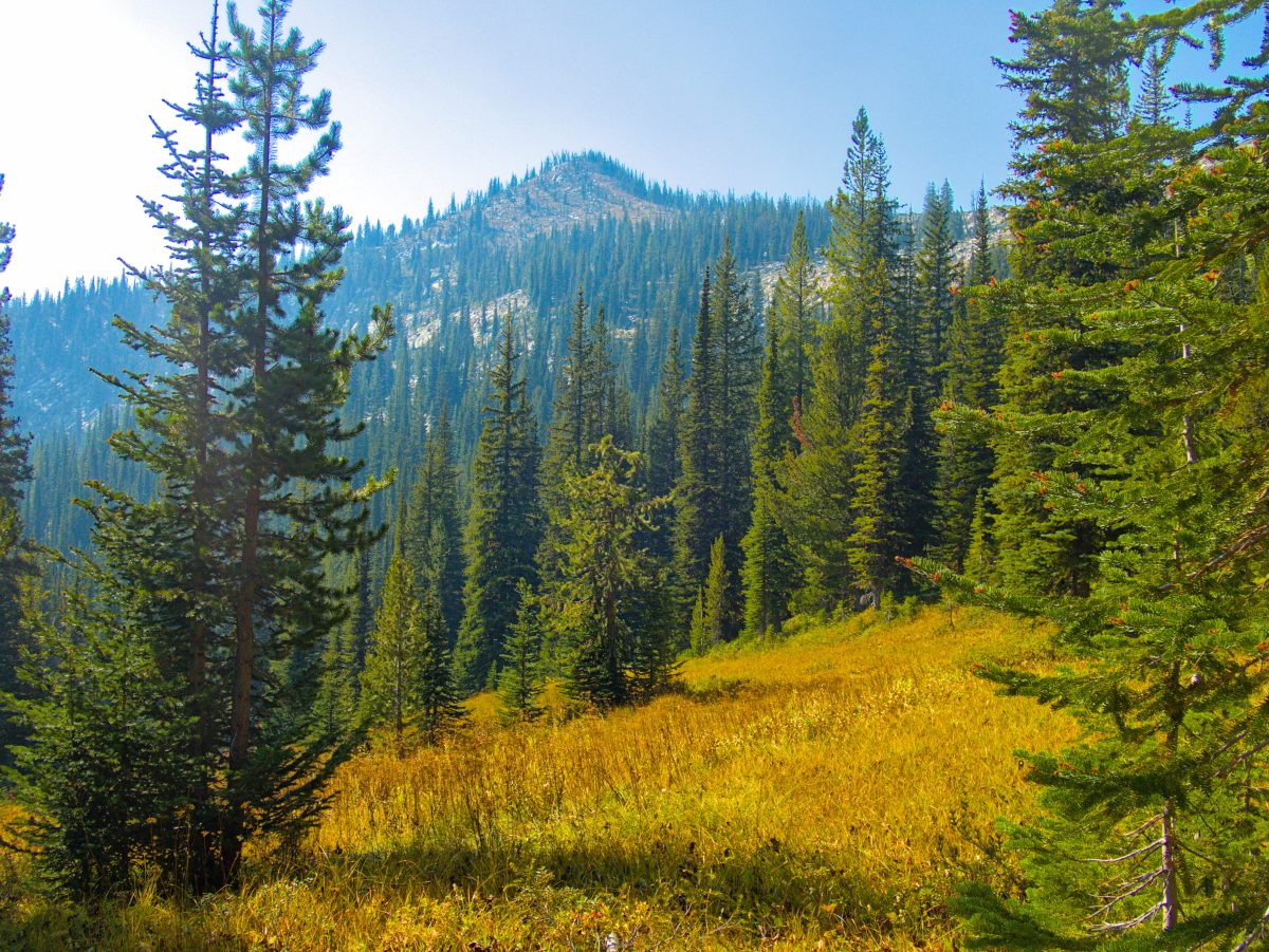
Up the ridge we went, with no particular destination in mind. A few weeks back we had been on the opposite side of the Gospel Hump Wilderness looking across the views of the Buffalo Hump mountain.
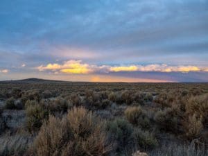
Today we were getting up close, on the opposite side of the wilderness area. The only downside was the air was filled with a thick brown smoke cloud that obscured what would have otherwise been amazing views.
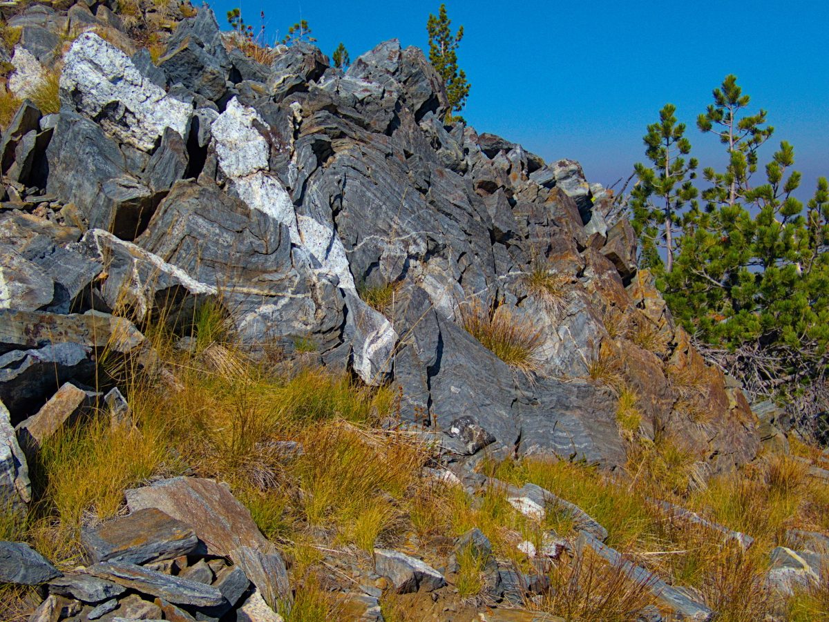
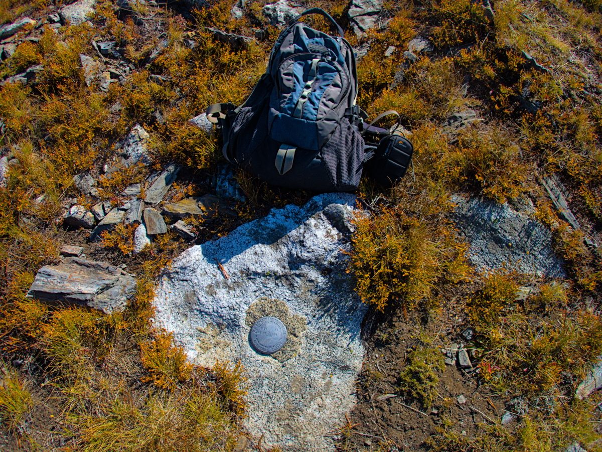
We continued on, and at some point we made the “North Pole” our destination for the day.
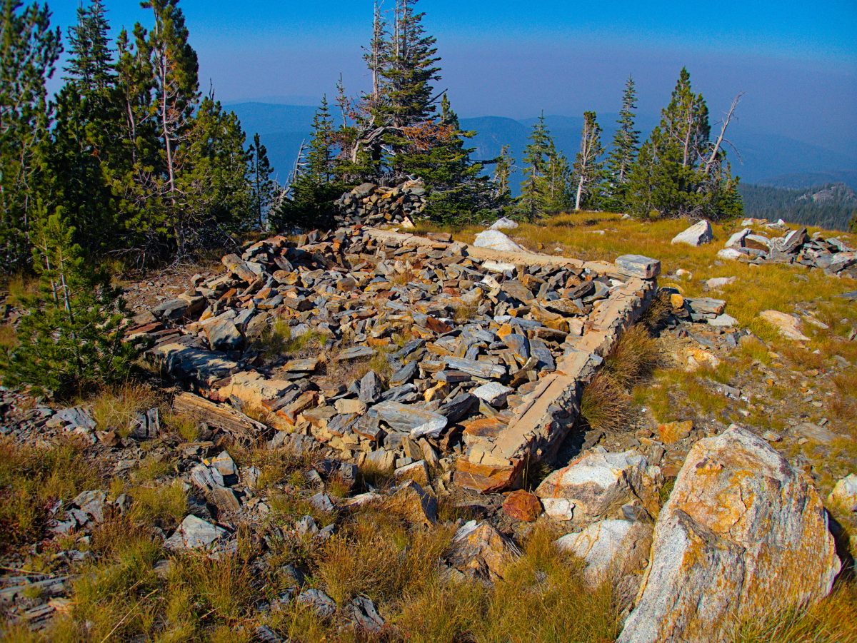
We found the remains of the fire lookout that was built here in 1927 and remained active until 1950 on top of the North Pole.
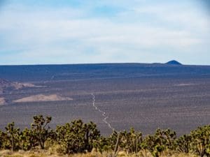
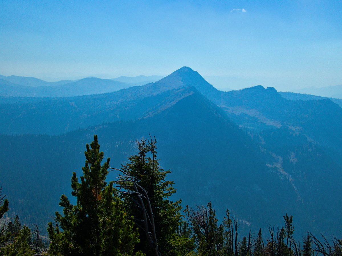
There were also good views of the Buffalo Hump, if a bit obscured by the smoke.
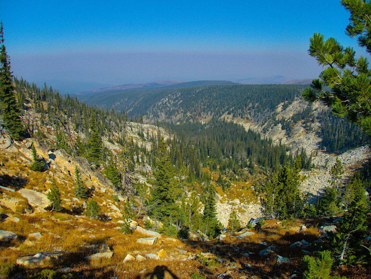
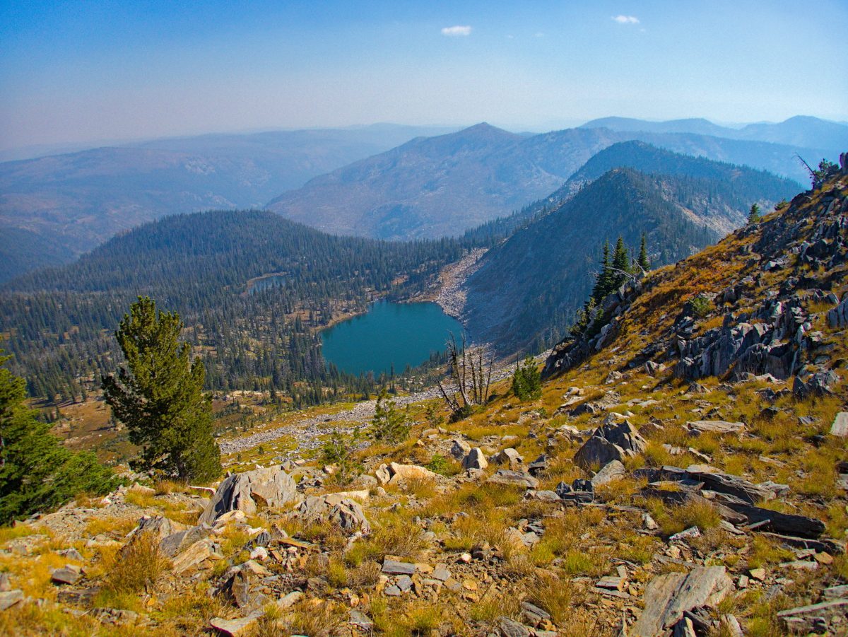
As well as the Kelly Lakes as the landscape spilled off toward the Salmon River.
We returned the way we came. We’ll have to go back on a blue sky day to get a better look at this beautiful landscape.
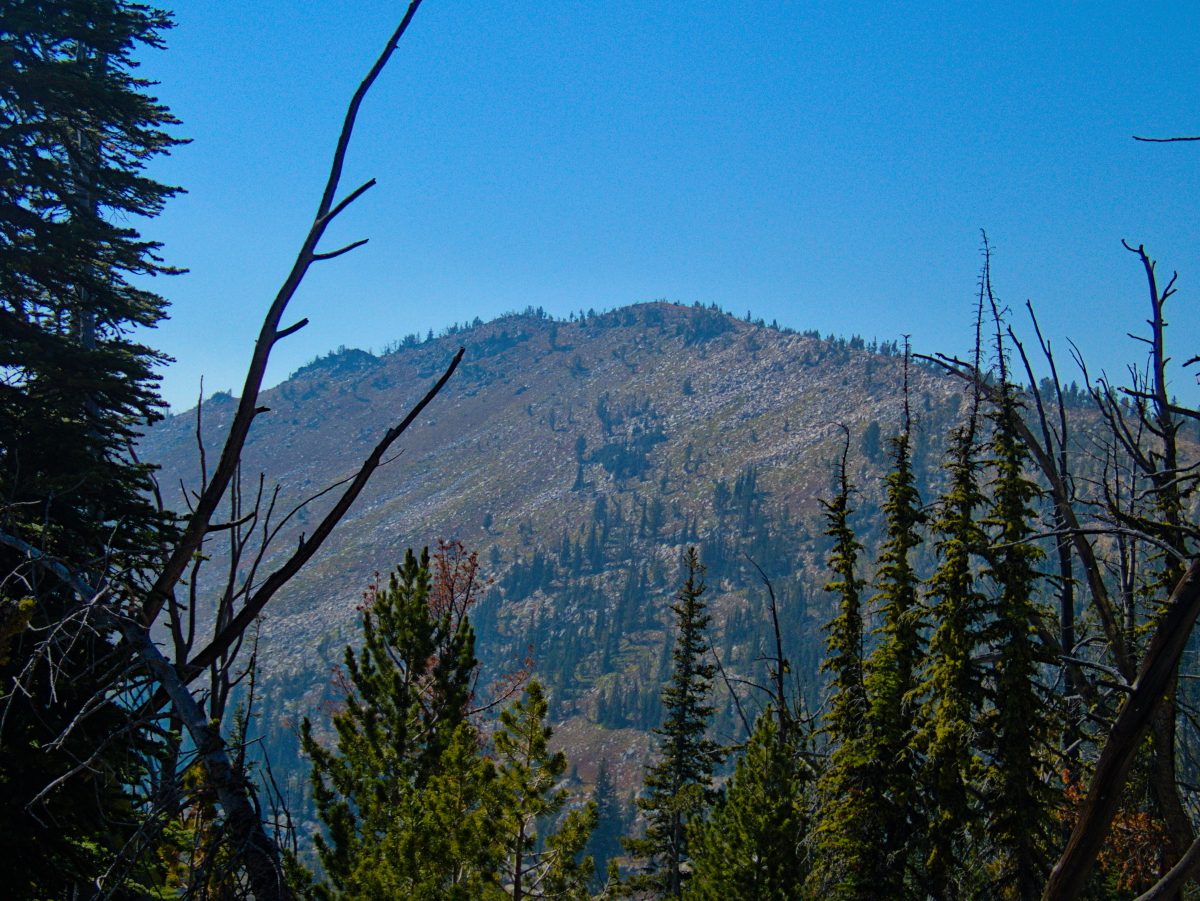
The next morning the air had cleared and we had a clear view of the ridge we had hiked, and the North Pole. Where was that blue sky yesterday?
We spent one more day out making a loop from Orogrande, over Badger Summit and eventually out through the Dixie area the next day, completing a loop we had intended to make over a year ago, but had been stopped by down trees and snow. There is evidence of mining just about everywhere you turn in this area. Being there today it’s hard to imagine these mountains teeming with miners.