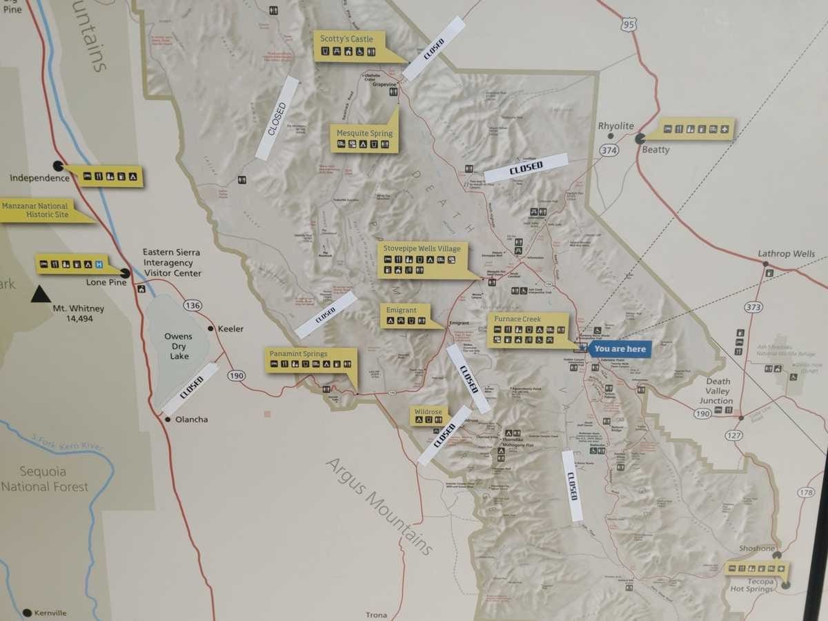
We’d been watching the weather since the day we decided to head South to Spring. While planning our trip, yet another atmospheric river was coming on shore in southern California and was expected to wreak havoc across a wide area of the state. A lot of roads were still closed in Death Valley following the complete closure of the park due to hurricane Hillary in August 2023. Would all of our plans be put on hold or cancelled? We kept checking websites for current conditions, but it appeared that California was still on the map and enough of our planned routes were still open. Once we arrived at Furnace Creek Visitor Center we consulted the big visitor map (yes there is one online but don’t believe everything you read on the internet is up to date. In fact don’t believe everything you are told at the visitor center either – see below and part 2 of this story for more). The features that stood out were the adhesive “CLOSED” stickers taped over what seemed like most roads. A closer examination verified that the roads we planned to travel were indeed open.
Note: This story is part of the series South to Spring. Click the link or head to our timeline for the other chapters of the trip.
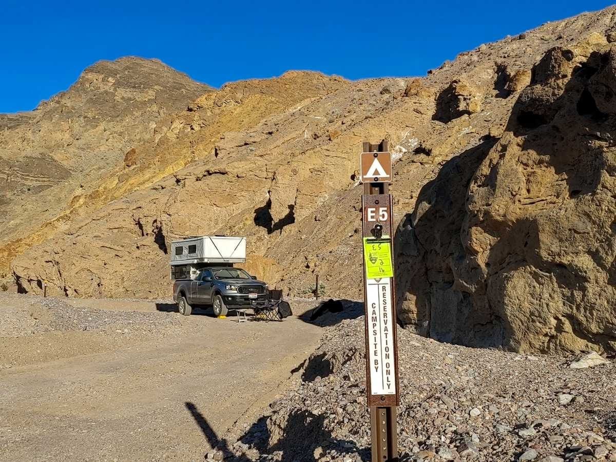
Things have changed since we last visited Death Valley. Like many other outdoor destinations, it seems the pandemic resulted in more crowds and more regulations. I suppose it is inevitable with anything bearing the unfortunate label we place on lands as “National Parks”. Even Death Valley is beginning to be overrun with hordes of people. I’m not saying the regulations aren’t needed. I’m just saying that under the charge of the National Park Service and their continual drive for more visitation, I won’t be surprised when Echo Canyon and its like are eventually paved two lanes with bus stops filled with tourists from Vegas out for the day to capture their selfies. We were lucky to receive the last permit for camping available in Echo Canyon for the night (well, not really, all the sites above us in the narrows were open recently graded and in pristine condition, the staff at the visitor center just didn’t know if they were open or still blocked from recent rainstorms, and their doom and gloom description made it sound as though we wouldn’t be getting any farther up the canyon the next day.) We took our pledge to follow all the rules required by the free permit that allowed us to stay in one of nine sites along the Echo Canyon road, one of the few “side country” (decidedly not backcountry, as the permit implies) roads open when we arrived, and then escaped the fray of Furnace Creek.
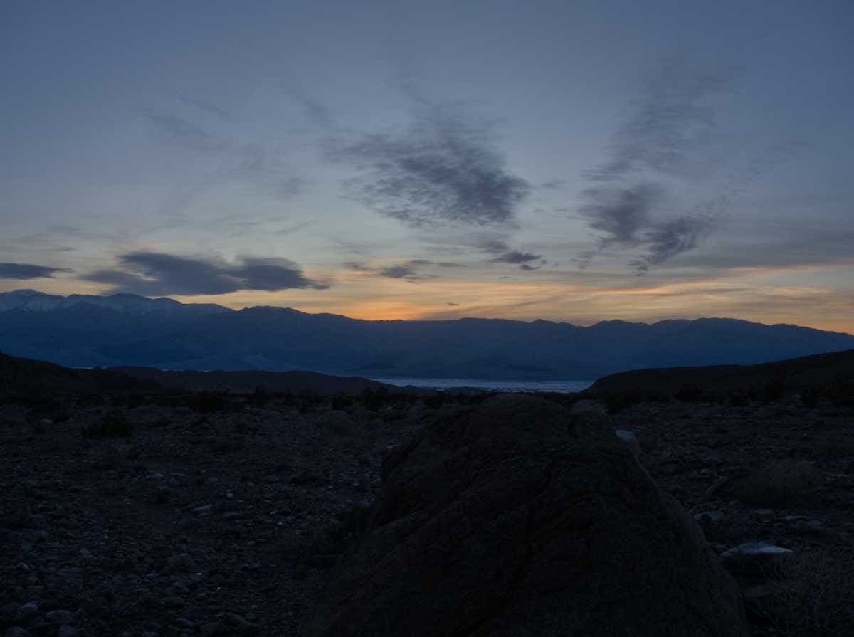
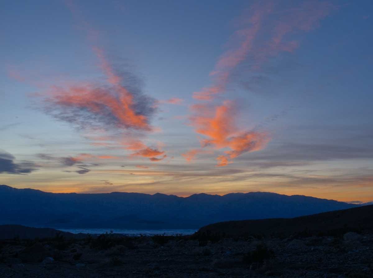
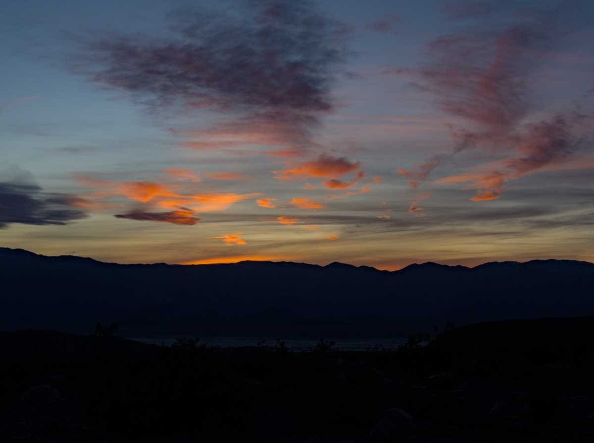
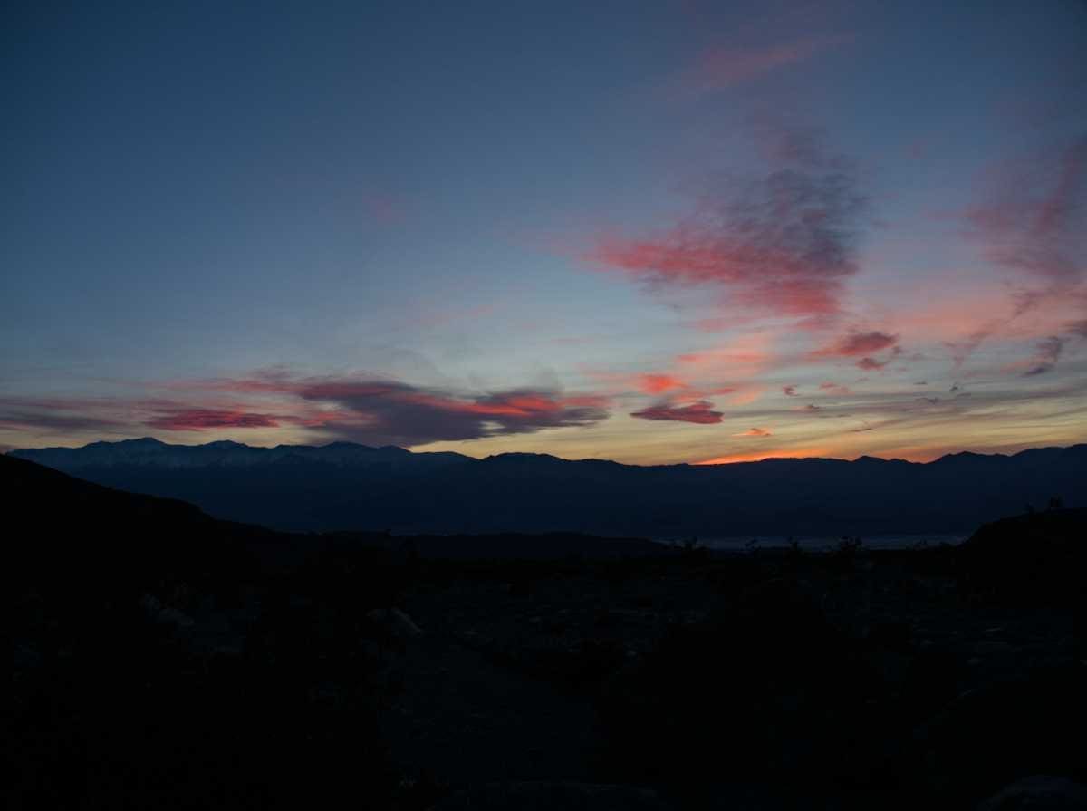
We enjoyed a stunning sunset while overlooking the valley from camp. At first it seemed there wouldn’t be much of a sunset at all. Then the sun dipped low enough to light up the bottom of the clouds and they were all lit up in order according to their height in the sky.
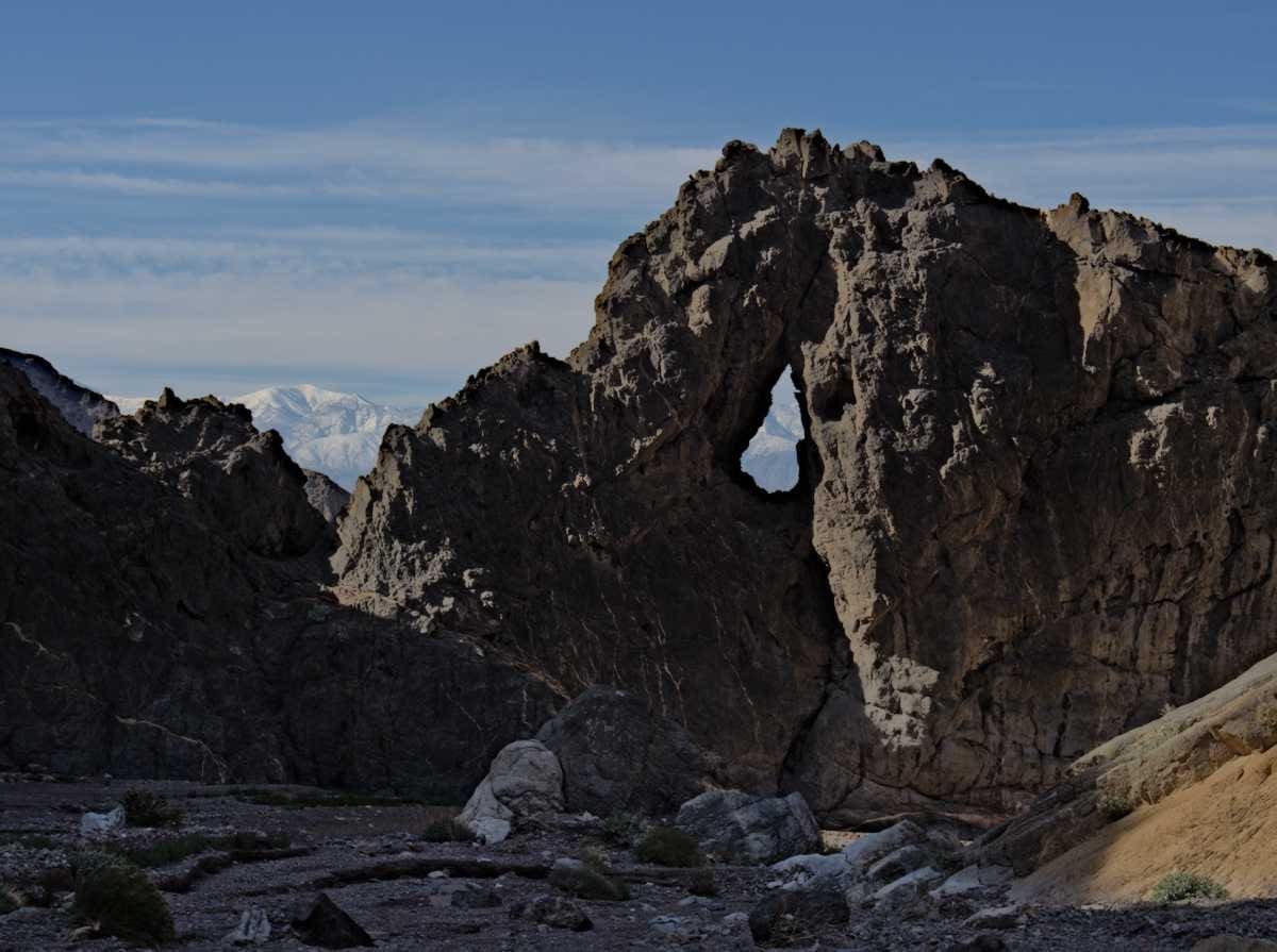
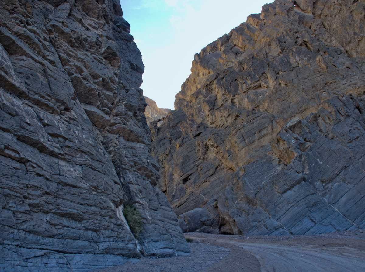
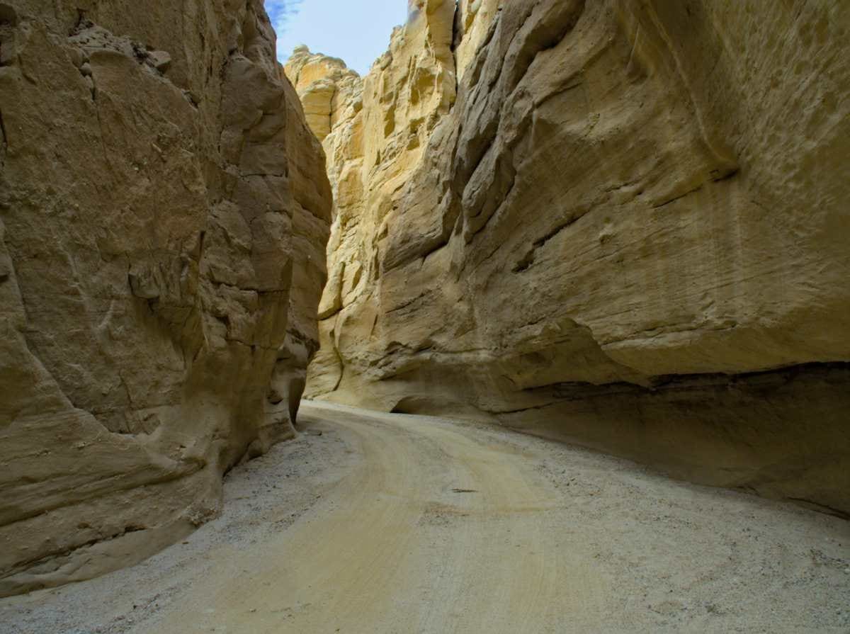
The next morning we headed up the remainder of Echo Canyon. The remainder of the road was all two wheel drive and freshly graded. First, and most impressive was the narrows, including Hole in the Wall. The layers of rock, tilted at different angles, all in a rainbow of colors are impressive for rock lovers like us.
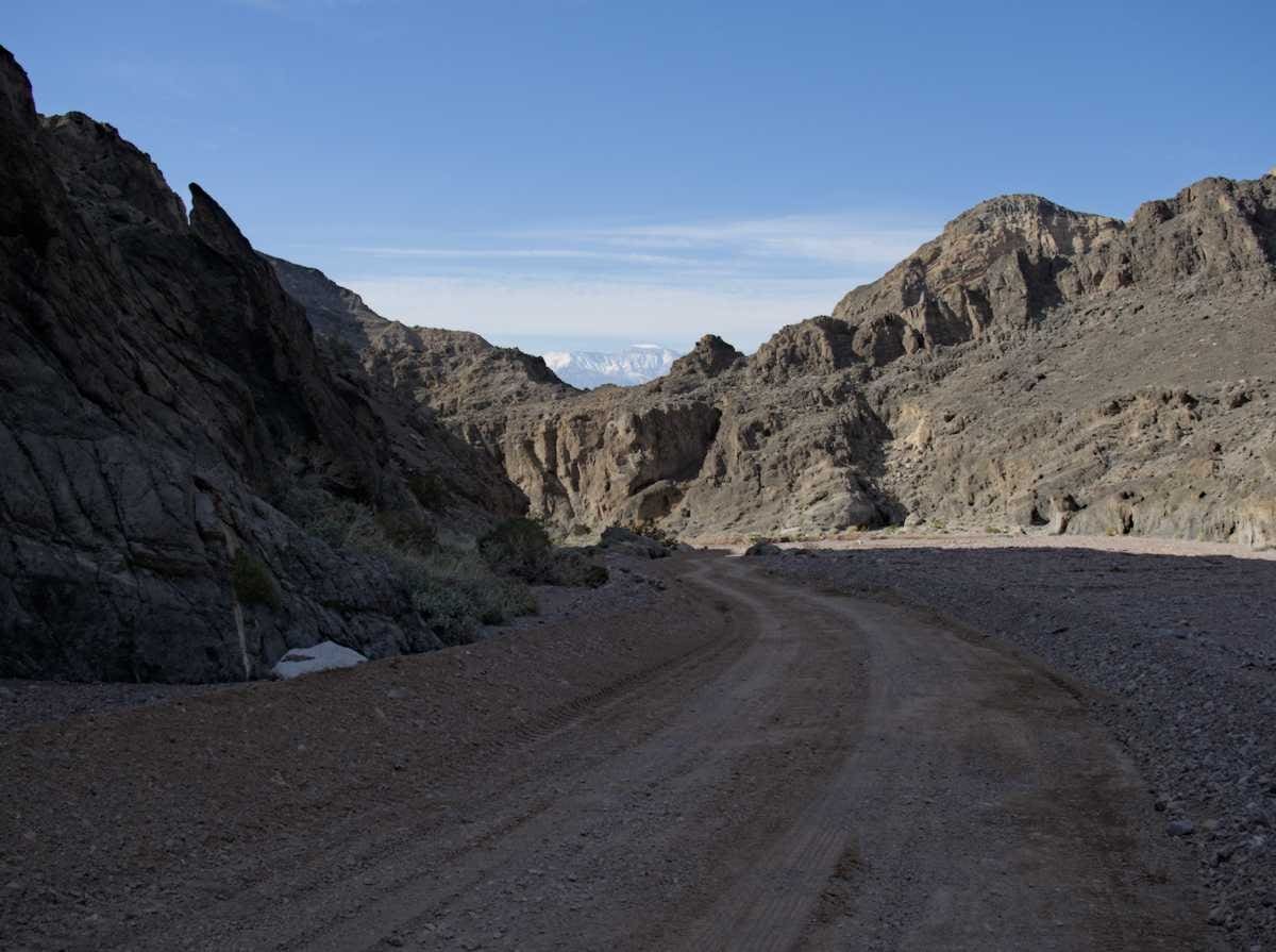
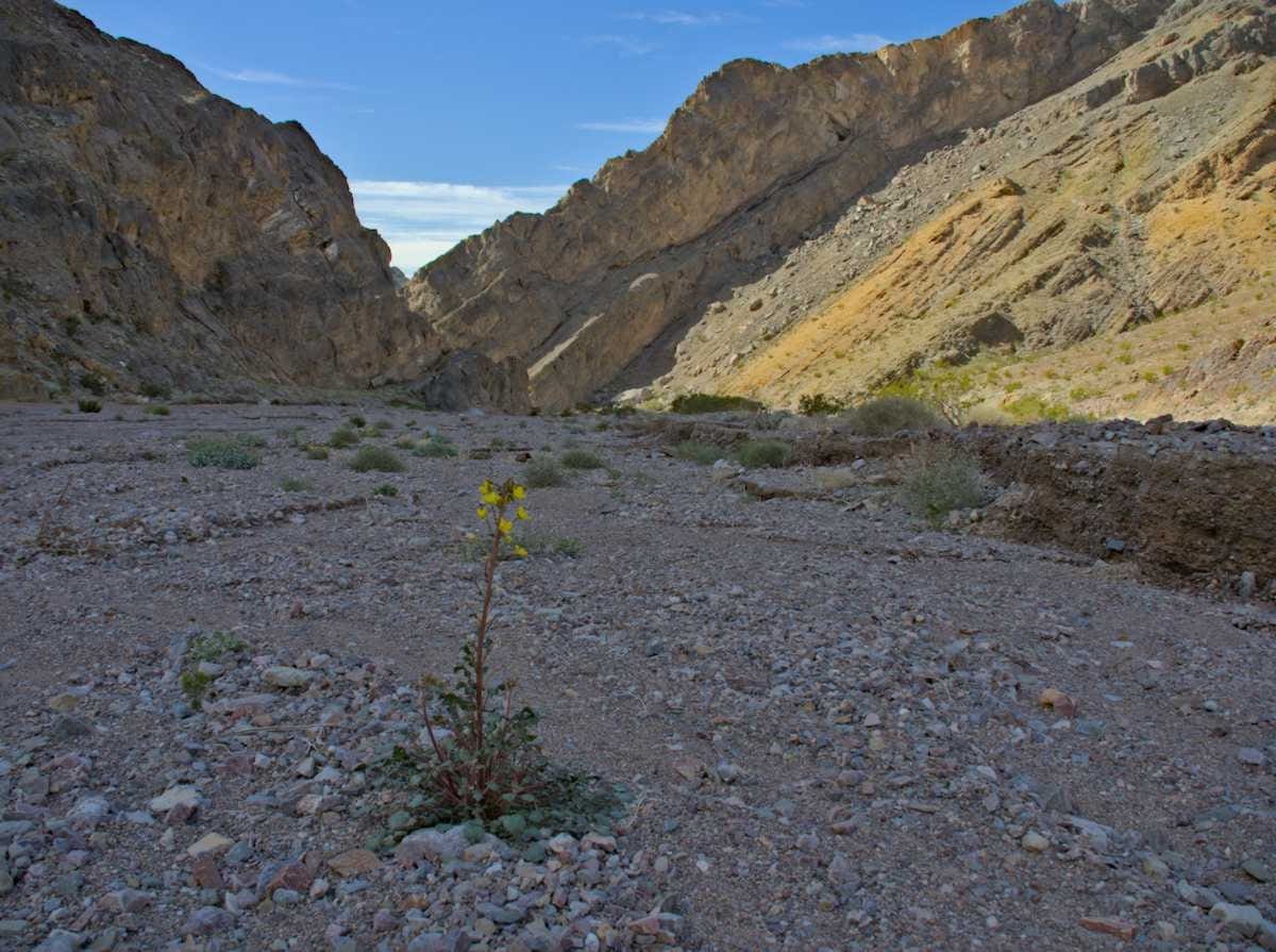
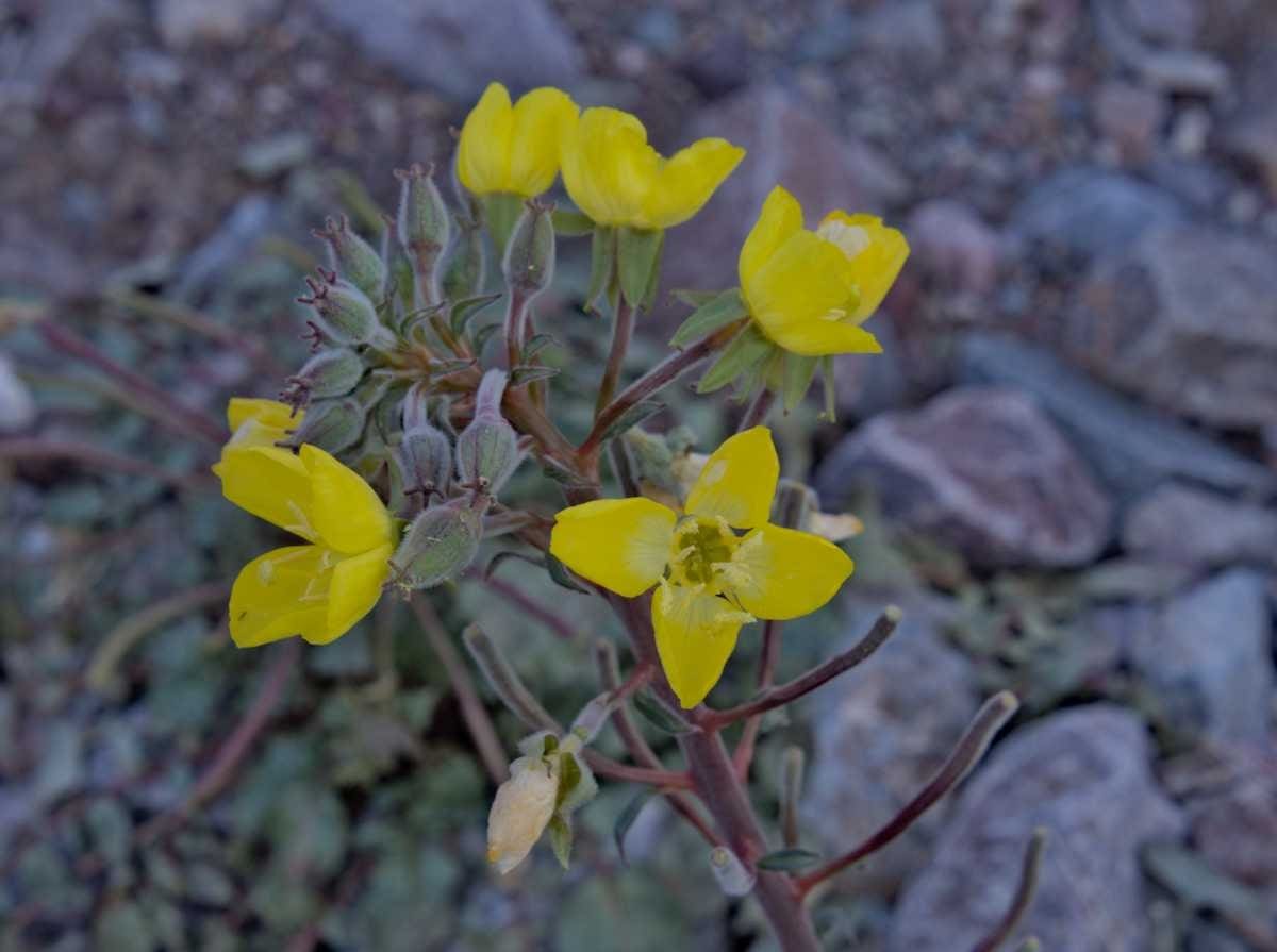
As the wash broadened and gained more sun a few flowers popped out.
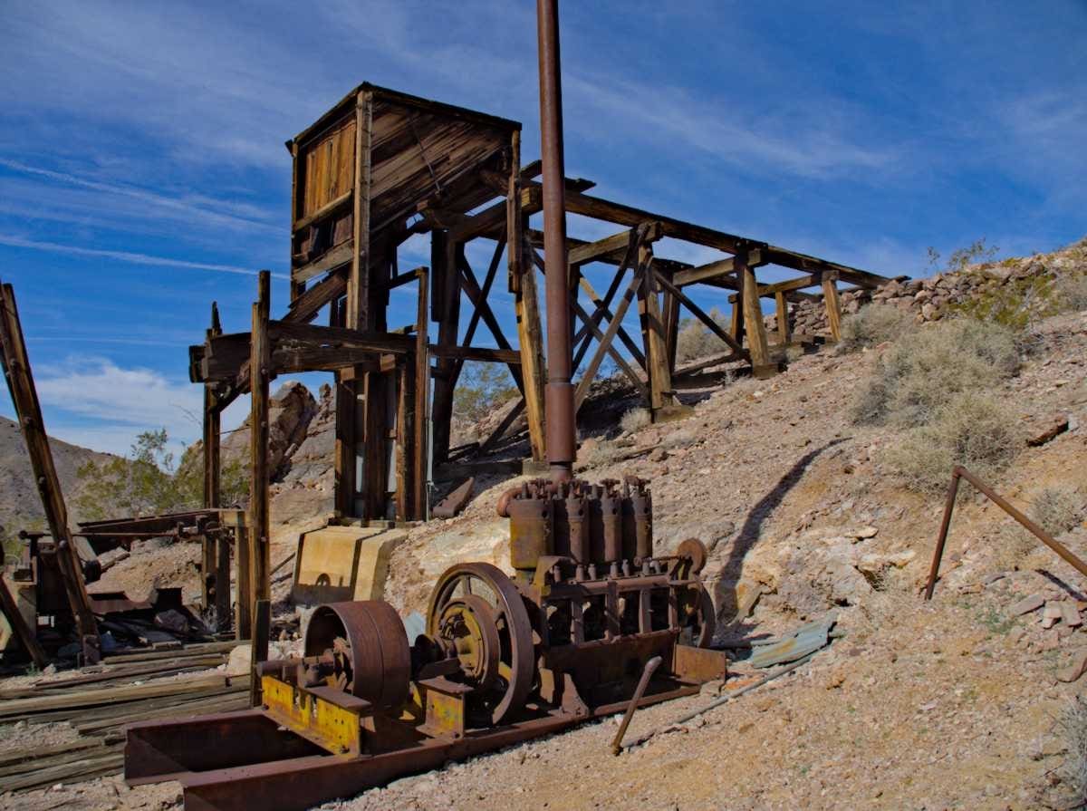
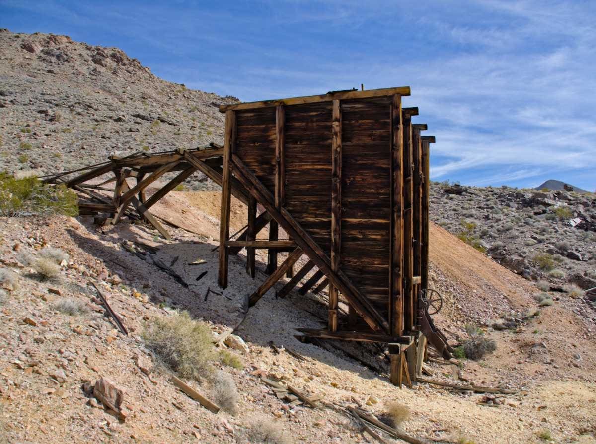
Further up the canyon we reached the Inyo Mine, which seems to be one of the better preserved mining sites in Death Valley. Even though some of the buildings have crumbled, there is still enough there to give you an idea of what life might have been like there in the early 1900’s.

We continued further up the road and then took a hike, enjoying the blue sky and the absence of people. We did however find plenty of signs of people of the past. The meaning of their notes on the rock, I can’t say, but it always amazes me to see how long it has lasted.
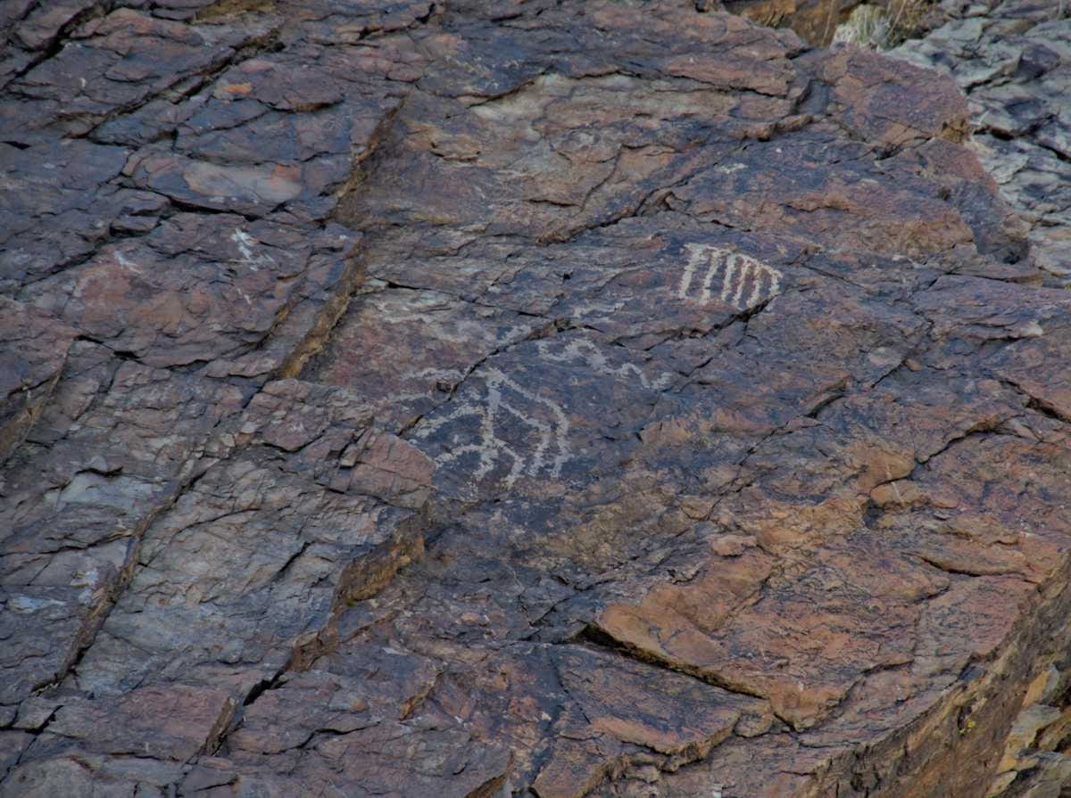
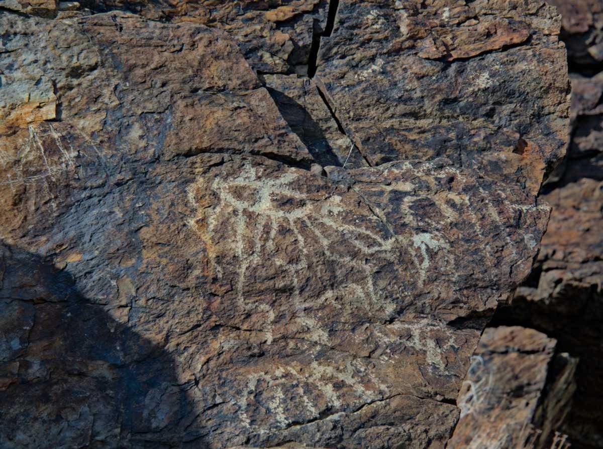
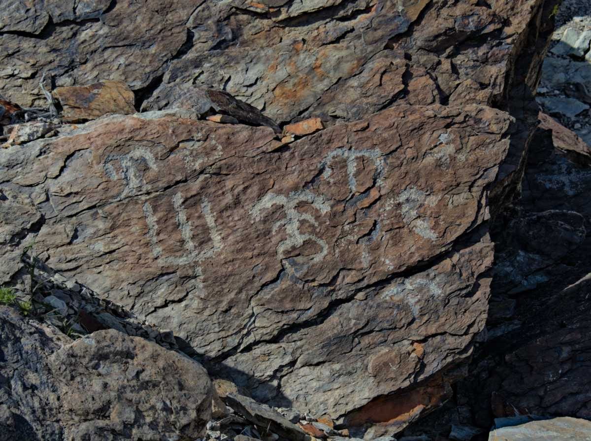
Eventually we made our way back towards camp, impressed with every corner and bend we rounded on the trail and back on the road in Echo Canyon.
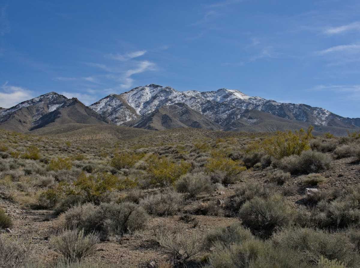
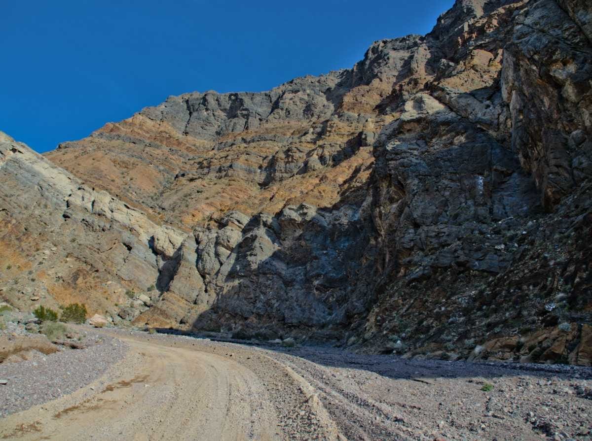
It is somewhat amazing to me, and even more of a relief, that once you are off the pavement, and even more so, up the trail, the crowds melt away. Even in the relative close side country of Echo Canyon, you can find that breath of fresh air, away from the crowds, if only for a short while. If you can, go find your quiet canyon, marvel at the rocks, smell the flowers and think of the events and history that formed that place. It’s an amazing world, isn’t it?
Logistics:
A free backcountry camping permit is required to camp at designated sites along the Echo Canyon Road. Camping is not allowed except in the designated sites. Sites are well spaced with sites 1-5 being found before you enter the canyon narrows and 6-9 in the canyon narrows. You cannot get a permit in advance, you have to obtain one in person from the Furnace Creek visitors center on the day you plan to camp, you can then camp there. From your beginning date you can reserve multiple nights (in the same site) without having to return to the visitor center. More info here: https://www.nps.gov/deva/planyourvisit/backcamp.htm
Always a joy to read descriptions. Have fun! We are climbing out of a March ice storm in the NE. Your photos were a reminder we will have a Spring.
Spring is on the way! Good to hear from you Rob.
Pingback: South to Spring | Exploring Death Valley Part 2: Hole in the Wall, Lake Manly and Beyond – Occidentalist