We were headed south on Nevada Highway 305 as another cyanide tanker whizzed past us on it’s way to the gold mine down the valley. How did we end up on this lonely highway? I suppose it all started on January 30, National Plan for Vacation Day. I’ve always believed that if you don’t do it now, you’ll be one year older when you do. Making a plan to escape your everyday routine is the first step toward making it a reality. Yes, we already had a plan to head to Baja Mexico for February and March, but due to a long list of barriers that kept being thrown at us it didn’t look like that plan was actually going to happen. The Idaho winter had been more rain than real winter. It was increasingly looking like no skiing, snowshoeing or ice fishing was in our future, just a crazy freeze thaw cycle that was turning everything local into mud. These are not ideal conditions for people who like to get out and about, so hanging around Idaho the remainder of February and March didn’t sound great. So, after another day of unsuccessful steelhead fishing and we thought about our options, we had a plan for our vacation! We’d head south and find spring. After a week of research we had a rough plan. After one more week we had the last of our loose ends tied up and the was truck packed and pointed south.
Note: This story is part of the series South to Spring. Click the link or head to our timeline for the other chapters of the trip.
South to Spring – the plan.
Death Valley National Park, the Mojave Desert including the Mojave National Preserve, Joshua Tree National Park, and Anza Borrego State Park are on the list. Each of these likely has a lifetime of trips on their own, but since we traveled all this way, we came up with a plan that had us exploring a few sites in each area, while also hoping for a spring wildflower bloom spurred on by all the recent atmospheric river events that seemed to be rolling into California off the Pacific on a weekly basis.
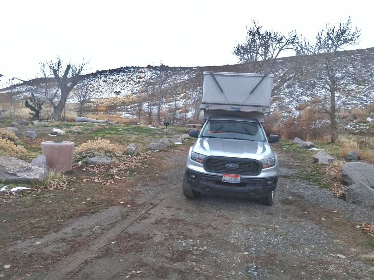
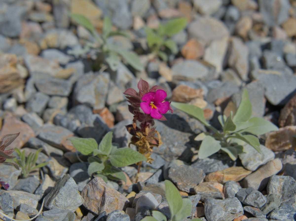
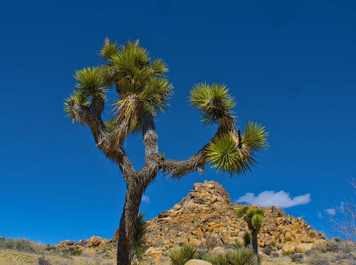
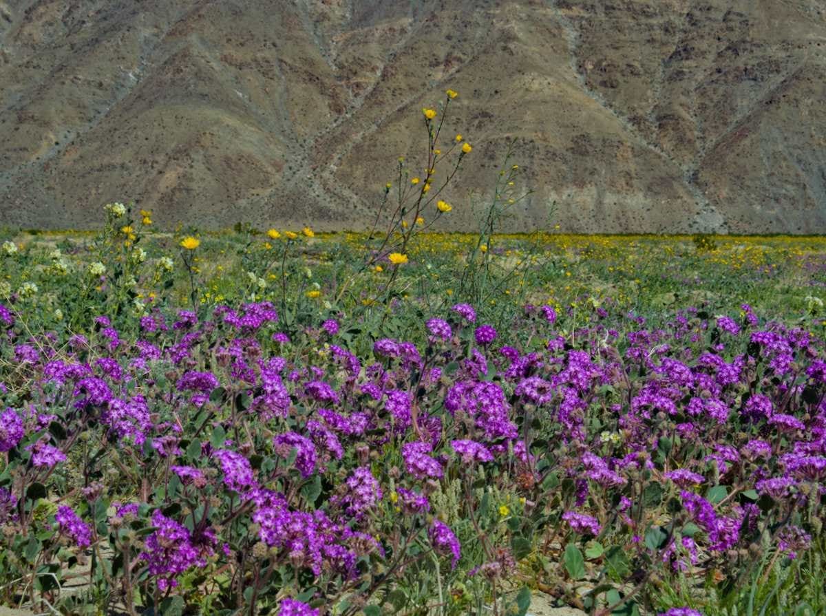
The next day we found ourselves in Nevada. Northern Nevada still had a winter like appearance, and when we made a stop for a few groceries in Tonopah is was a blustery cold 33 degrees, but that all changed as we headed further south. We started seeing Joshua Trees and burros, and the temps hit the 50’s. By the time we reached Furnace Creek in Death Valley it was 67. A closer look revealed wildflowers in bloom in some of the washes. We went south and found spring in just two days.
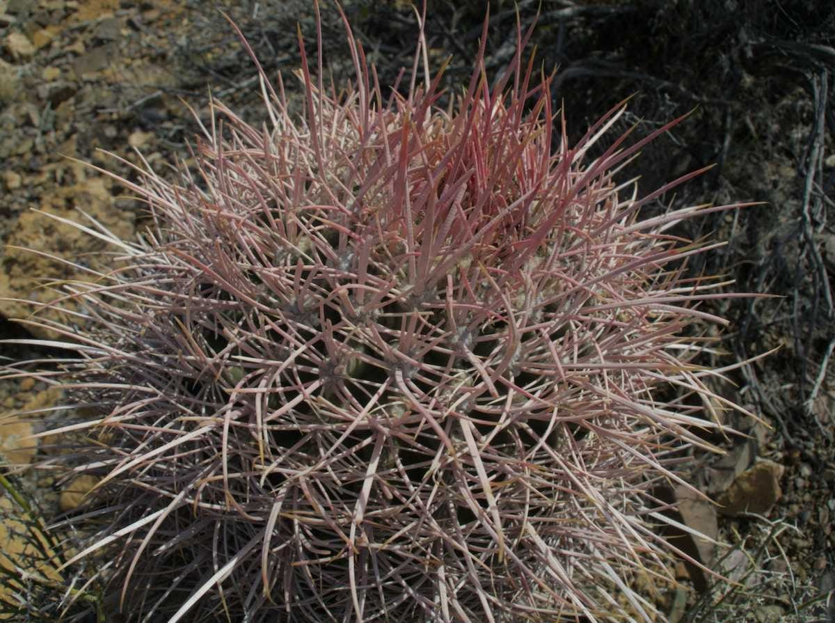
By the time we ended our second day of the trip in Echo Canyon Wash in Death Valley we had been serenaded by great horned owls our first night in camp, seen four coyotes along the lonely highways heading south through Idaho, Oregon and Nevada, experienced temperatures teetering toward 70, found our first wildflowers, and were treated to one of the most colorful sunsets in recent memory. Yes, south to spring was sounding better and better. Tomorrow we’ll we’d be headed up Echo Canyon, with rocks, wildflowers and blue sky in our future. I hope you have a plan for a vacation too.
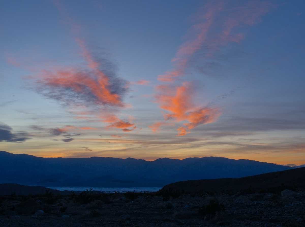
Hope you get to see Lake Manly before it dries up again!
Luckily it was replenished from the early February atmospheric river so there was still plenty of water. That’s coming up, with pictures, in a future post!
Pingback: South to Spring | Exploring Death Valley Part 1: Echo Canyon – Occidentalist
Pingback: South to Spring | Exploring Death Valley Part 2: Hole in the Wall, Lake Manly and Beyond – Occidentalist
Pingback: South to Spring | Mojave National Preserve Part 1: Caruthers Canyon – Occidentalist
Pingback: South to Spring | Mojave National Preserve Part 2: Hole in the Wall – Occidentalist
Pingback: South to Spring | Mojave National Preserve Part 3: Kelso Dunes – Occidentalist
Pingback: South to Spring | Beyond Barstow – Occidentalist
Pingback: South to Spring | Hiking Joshua Tree – Occidentalist