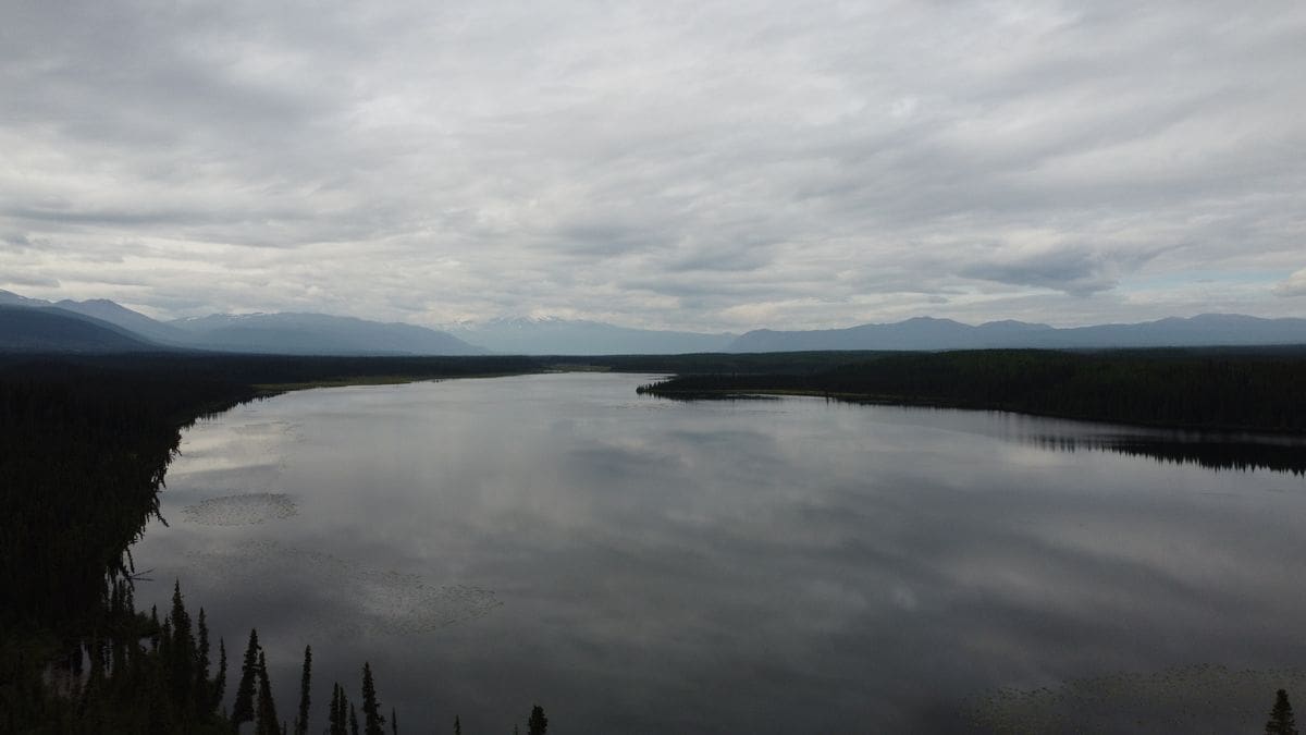
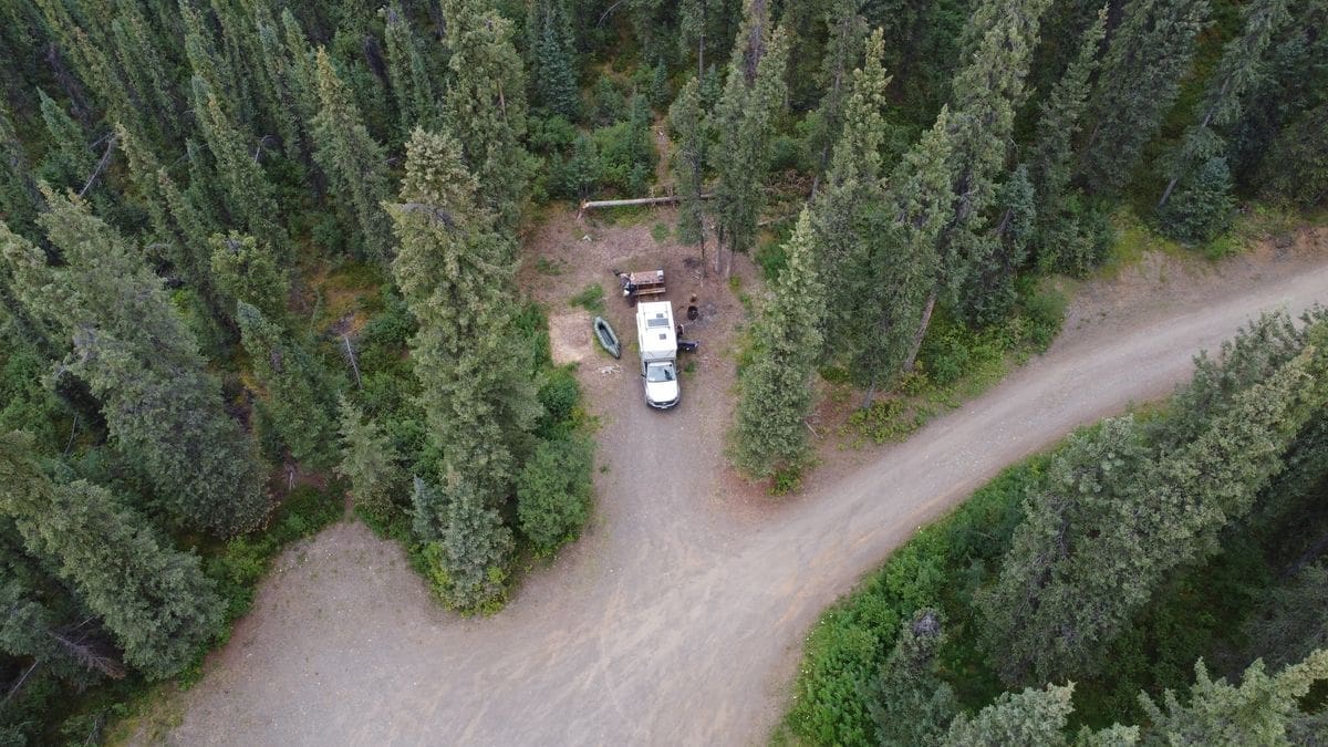
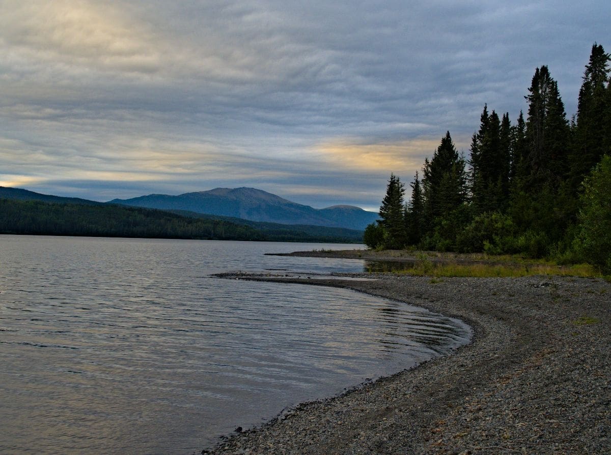
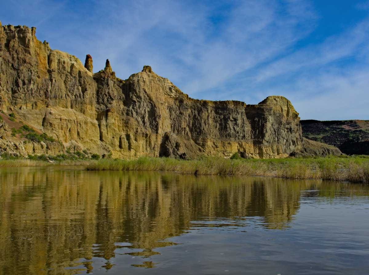
After our day of bear viewing in Hyder we headed back to the Cassiar Highway and continued north toward the Yukon. Once you make it to the northern part of the Cassiar Highway you are really starting to get away from it all. Eventually even the paint on the road is left behind. There are just enough gas stations to keep you going, and the road is paved for the entire length, as far as highways go, the Cassiar is our speed. There are a few provincial parks along the way, but we passed those by preferring the less developed, less crowded and free BC Recreation Sites instead. We were the only ones at Morchuea Lake when we pulled in, and had the camp and the lake all to ourselves.
Note: This is part three of our “Grand Loop of British Columbia” trip. Part 1 is here: A Loop of British Columbia, The Fishing Highway and part 2 is here: A Loop of British Columbia, Salmon Glacier and Bears
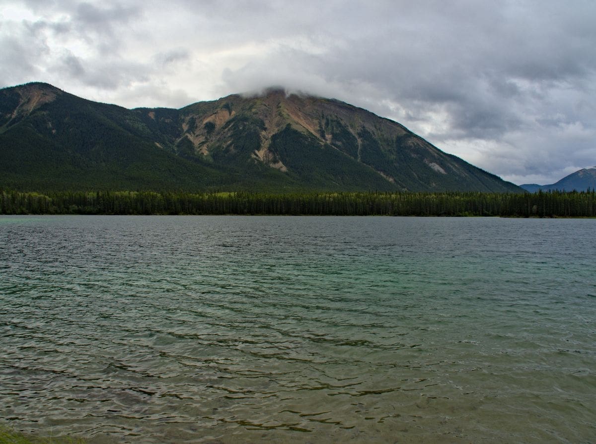
It was a nice quiet paddle as the light breeze whisked us across the lake as we admired Mount Edziza.
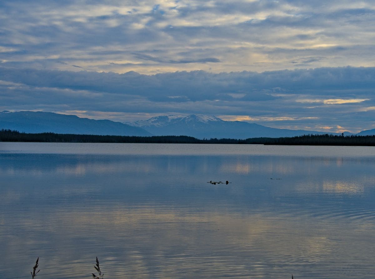
This was a nice quiet spot, even though it wasn’t far from the highway, it is a place you could stay for days.
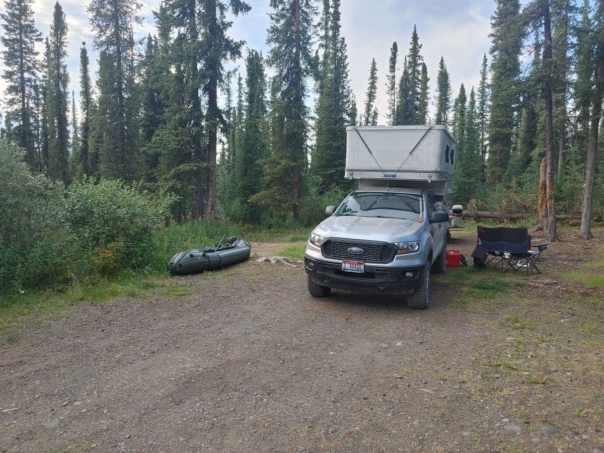
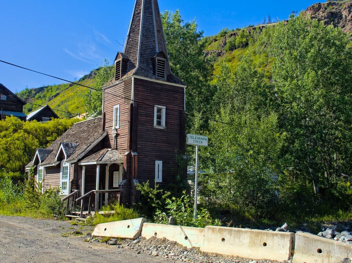
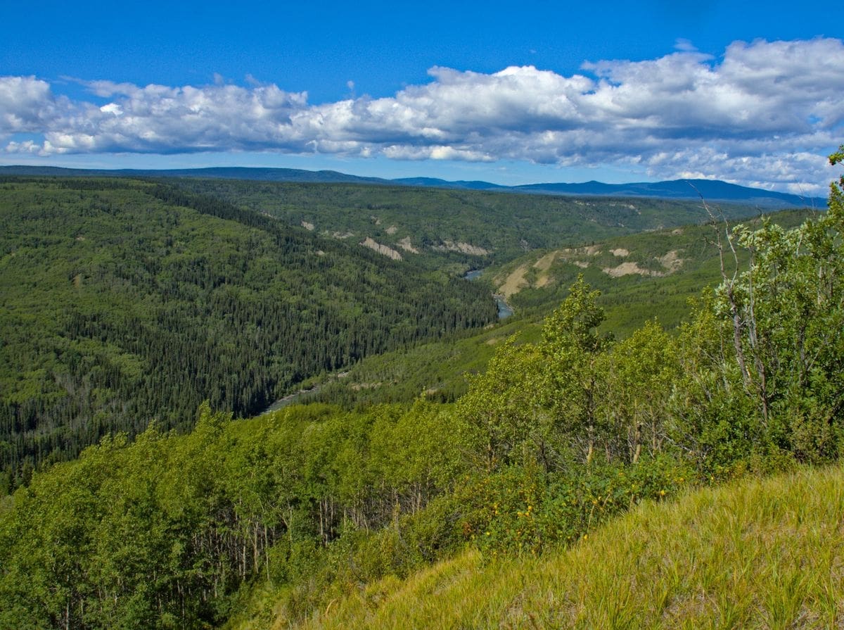
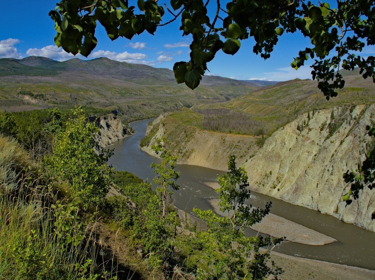
Alas, we didn’t stay for days, just an overnight. We continued our trip north the next morning, and decided to take a side trip out to Telegraph Creek. Telegraph Creek boomed in the 1860’s and 1870’s as a gateway to northern goldfields. Located on the Stikine River it was accessible to steamers coming in from Wrangel. Like most boomtowns it appears to have seen its better days. The road to Telegraph Creek was really our destination, more than the town itself, and it was a fun drive.
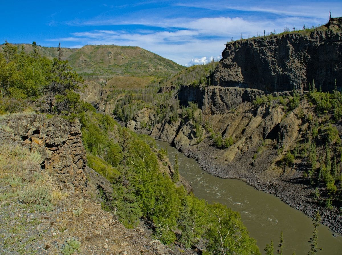
With views of the “Grand Canyon of the Stikine” it did not disappoint.
We opted for an out and back, ending our day back on the Cassiar at the north end of Dease Lake. We spent a couple nights here, so we had some time to get out on the lake for some fishing. The wind mostly had its way with us, but we were able to bring one northern pike to the boat, which was a first for me.
On our way north again we stopped for a quick break at Boya Lake Provincial Park. It looked like a nice place for a paddle, with a lot of shoreline to explore, but we had decided that this would be our last day on the Cassiar and kept moving.
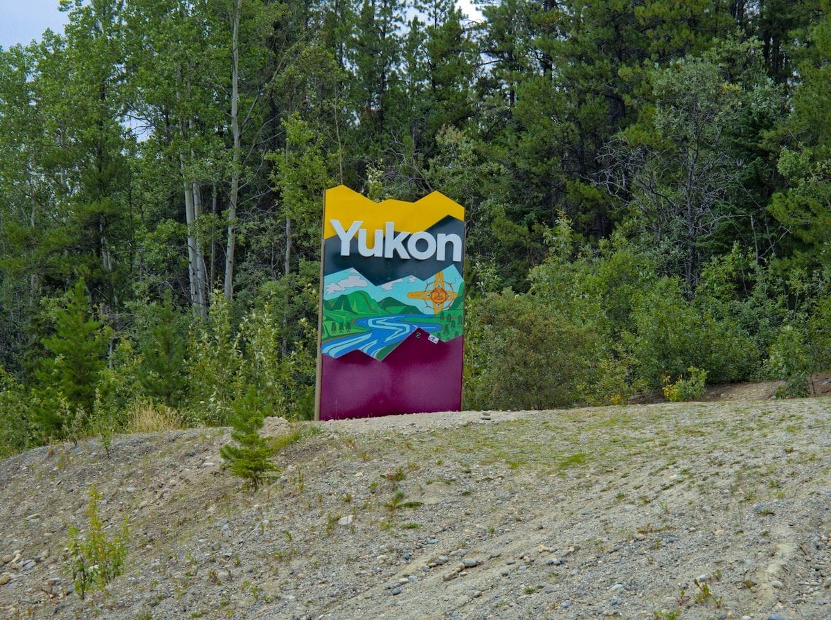
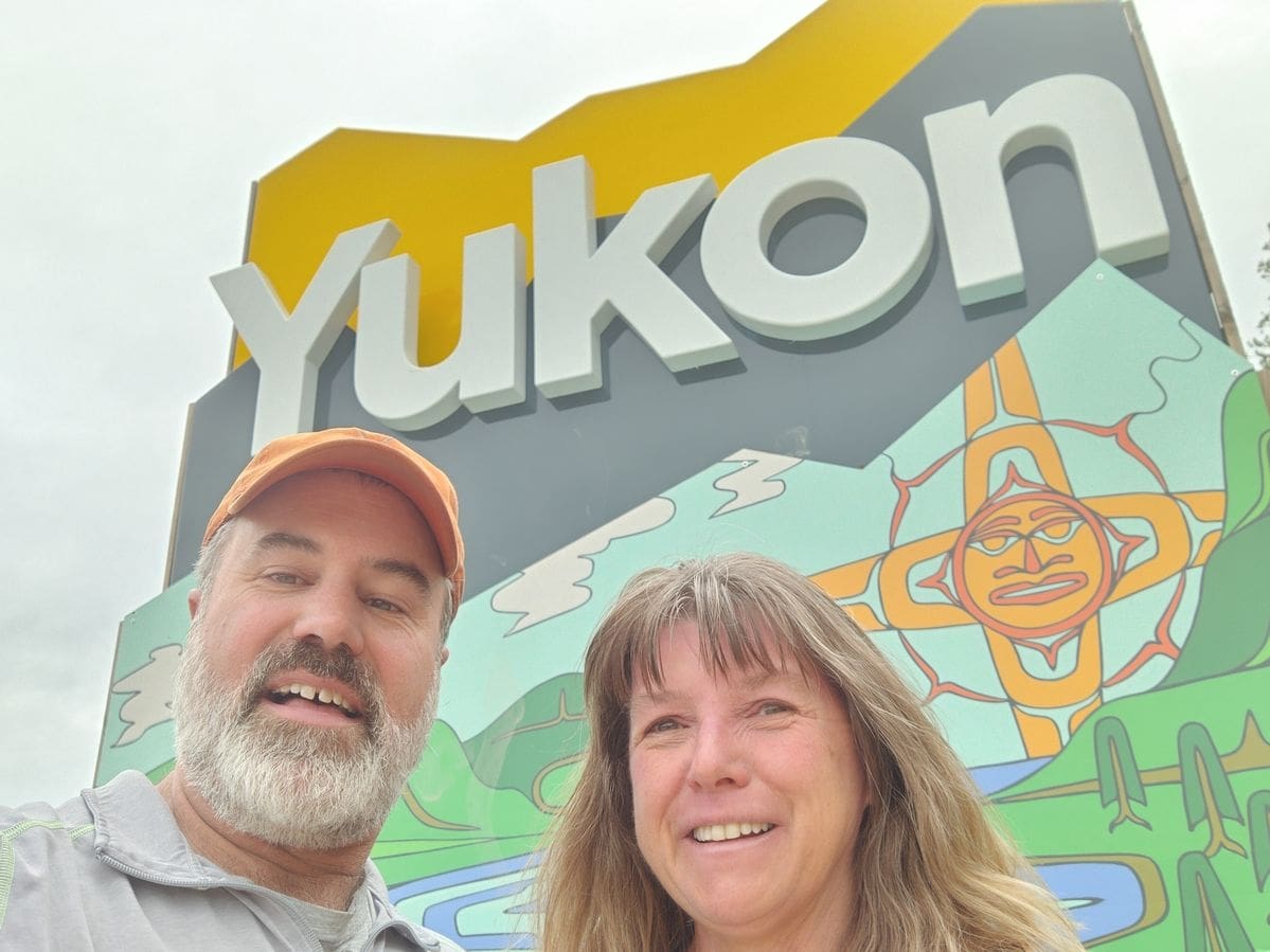
The Cassiar ends just after entering the Yukon Territory, just outside of Williams Lake.
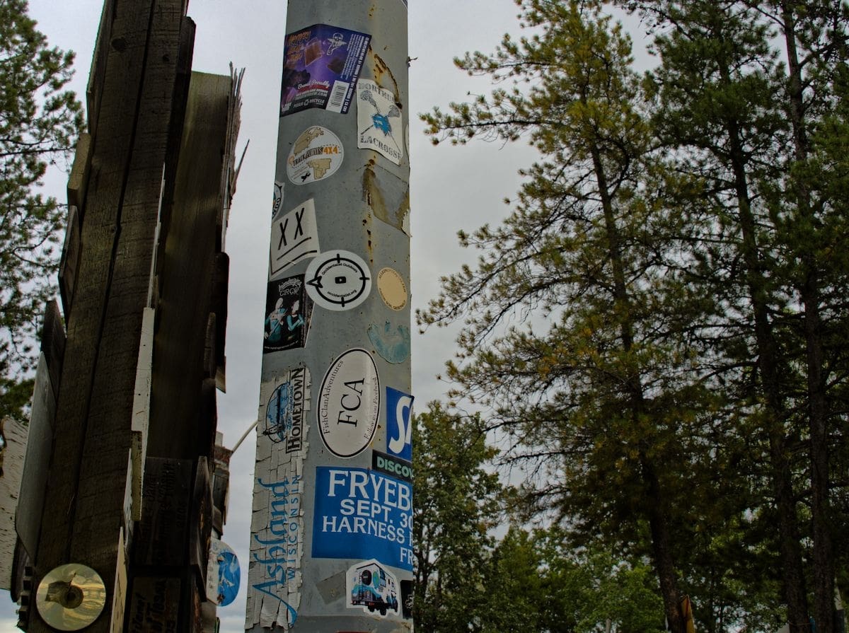
An interesting stop in Williams Lake is the signpost forest. Originally started by a American Soldier working on the Alaska Highway in 1942, it has grown by leaps and bounds from its original signpost to somewhere in the neighborhood of 100,000 signs today.
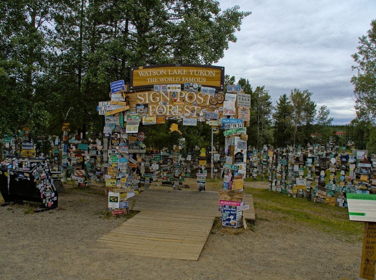
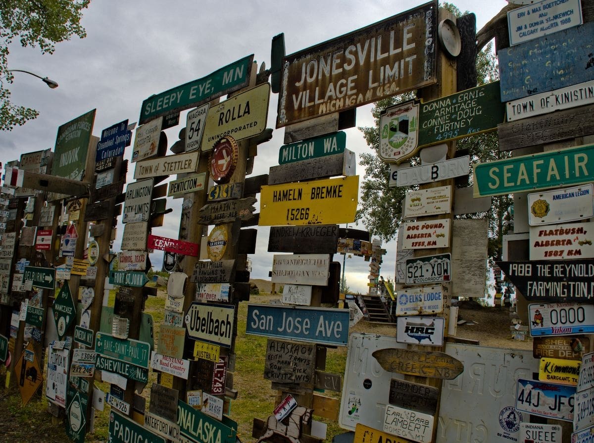

We left our mark as well.
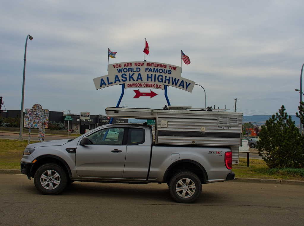
The Cassiar concluded, we caught up on some laundry, stocked up with a few provisions and started the next leg of our journey, the Alaska Highway. There were a lot more adventures ahead, as we reached this literal turning point of our loop of British Columbia, we were now headed south.
Pingback: A Loop of British Columbia, The Alaska Highway – Occidentalist