After a generator filled night, we moved on east from Montana into North Dakota. Our first detour was to spend portions of two days visiting Theodore Roosevelt National Park (TRNP). After the flat plains and boring farmland of eastern Montana and more of the same entering North Dakota, the Badlands were a welcome sight, with their topography and bright fall colors.
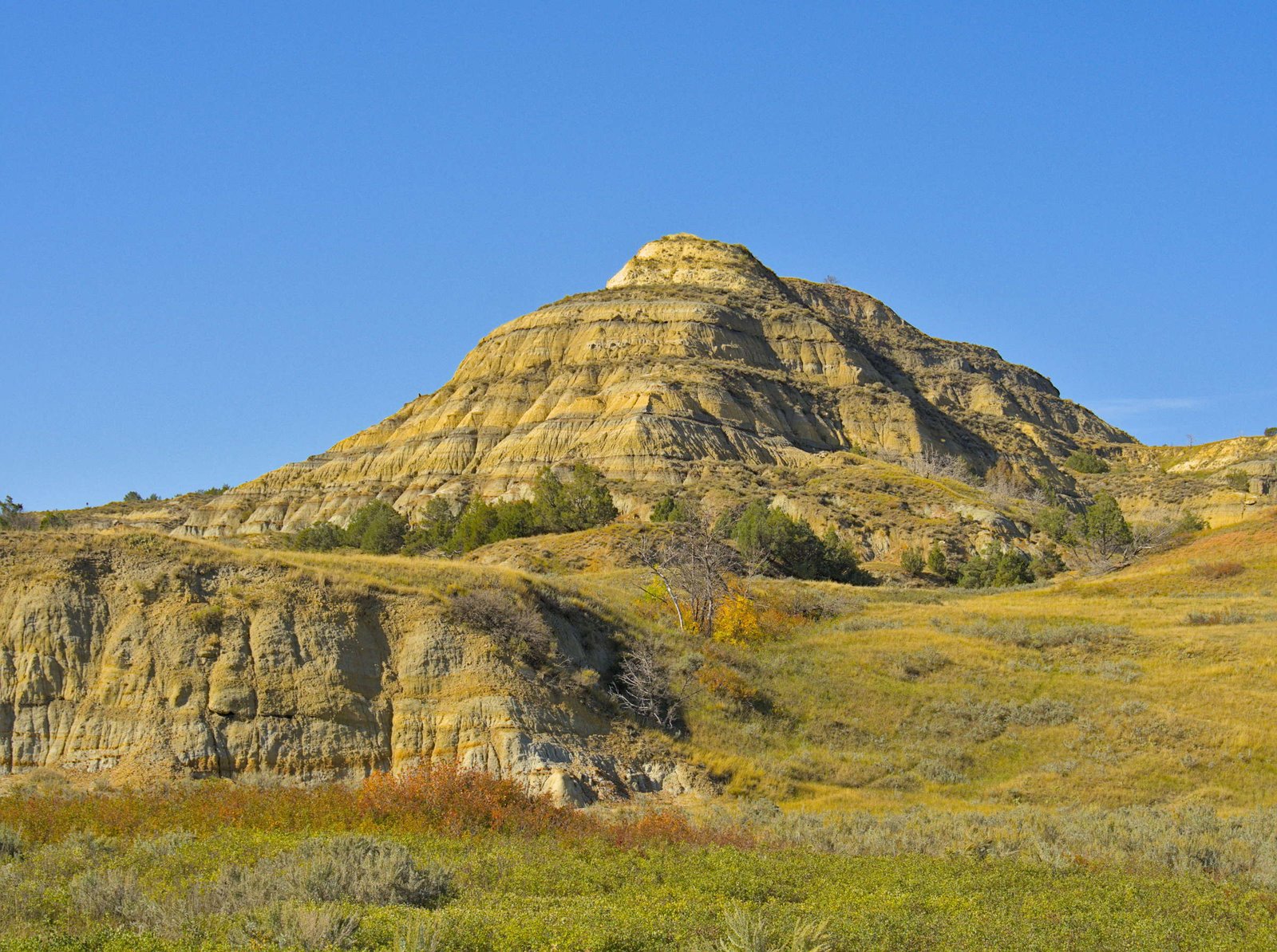
TRNP has a north and south unit, which are separated by about 70 miles.We pulled into the north unit with most of the short fall day already behind us, so we took the scenic drive but didn’t have much time for extensive hiking. The Little Missouri River cuts through the north unit of the park and the cottonwood galleries lining the river were all lit up in autumn gold.
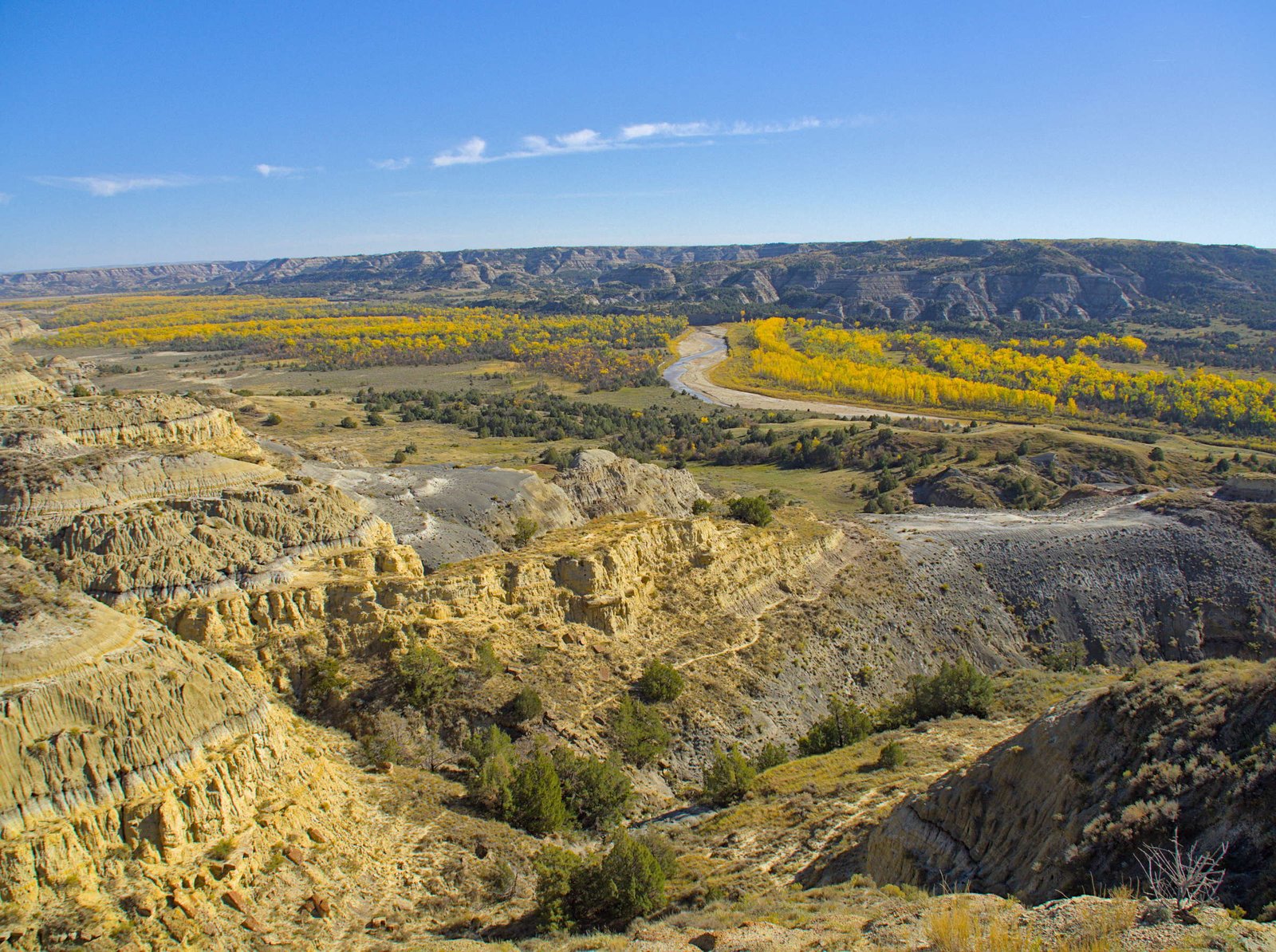
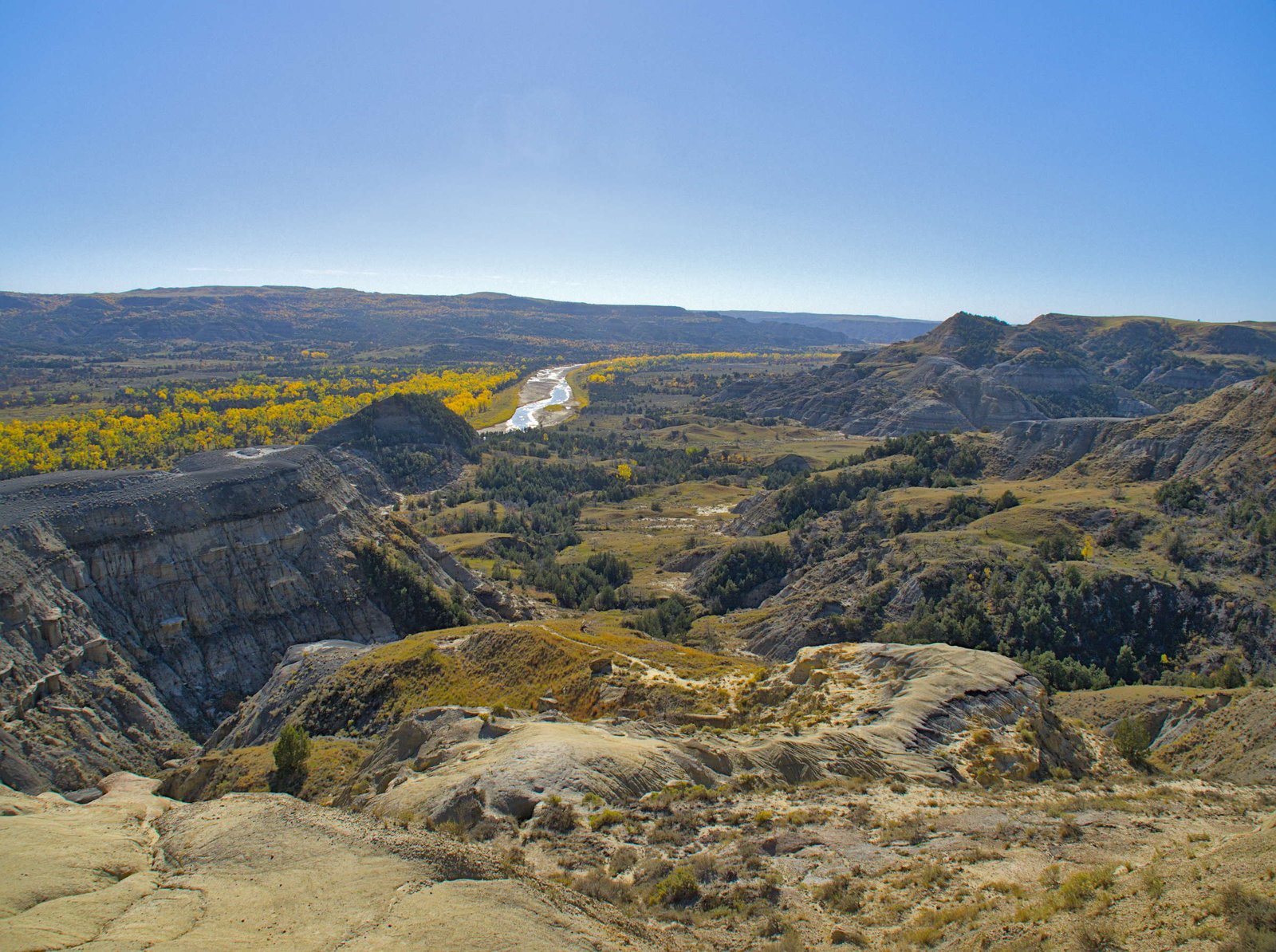
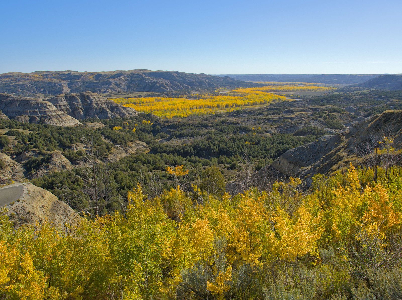
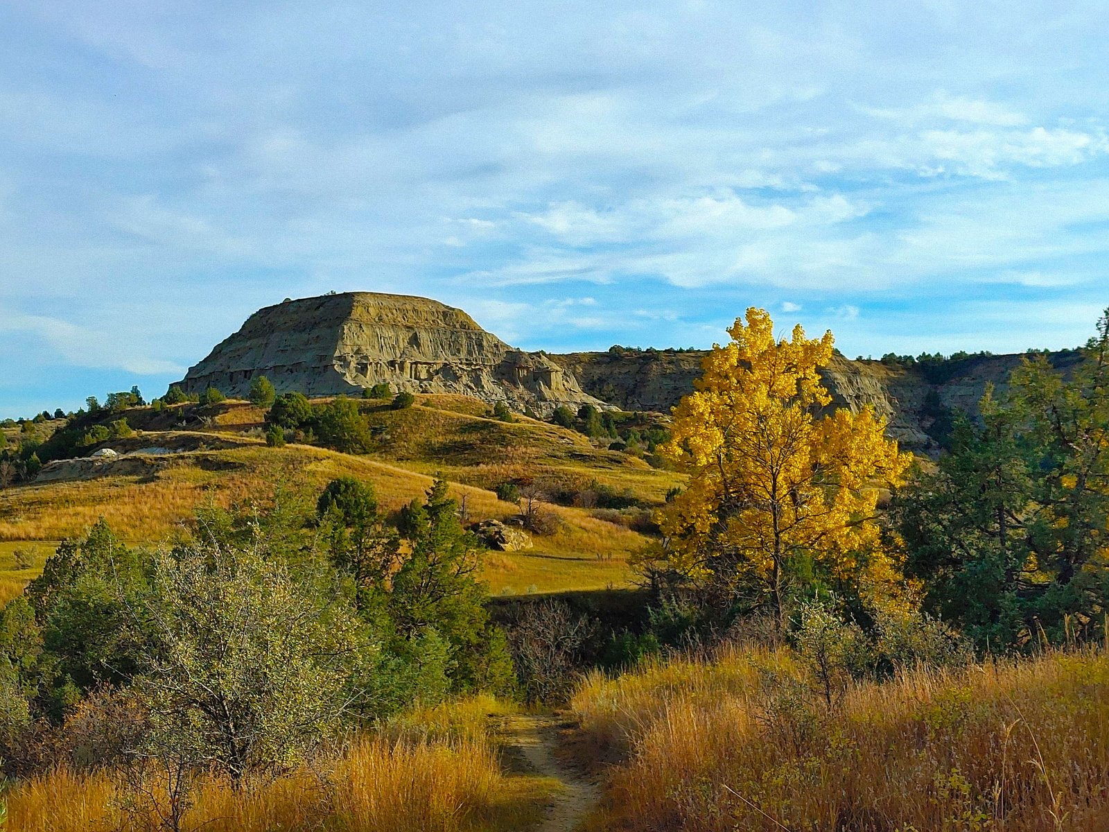
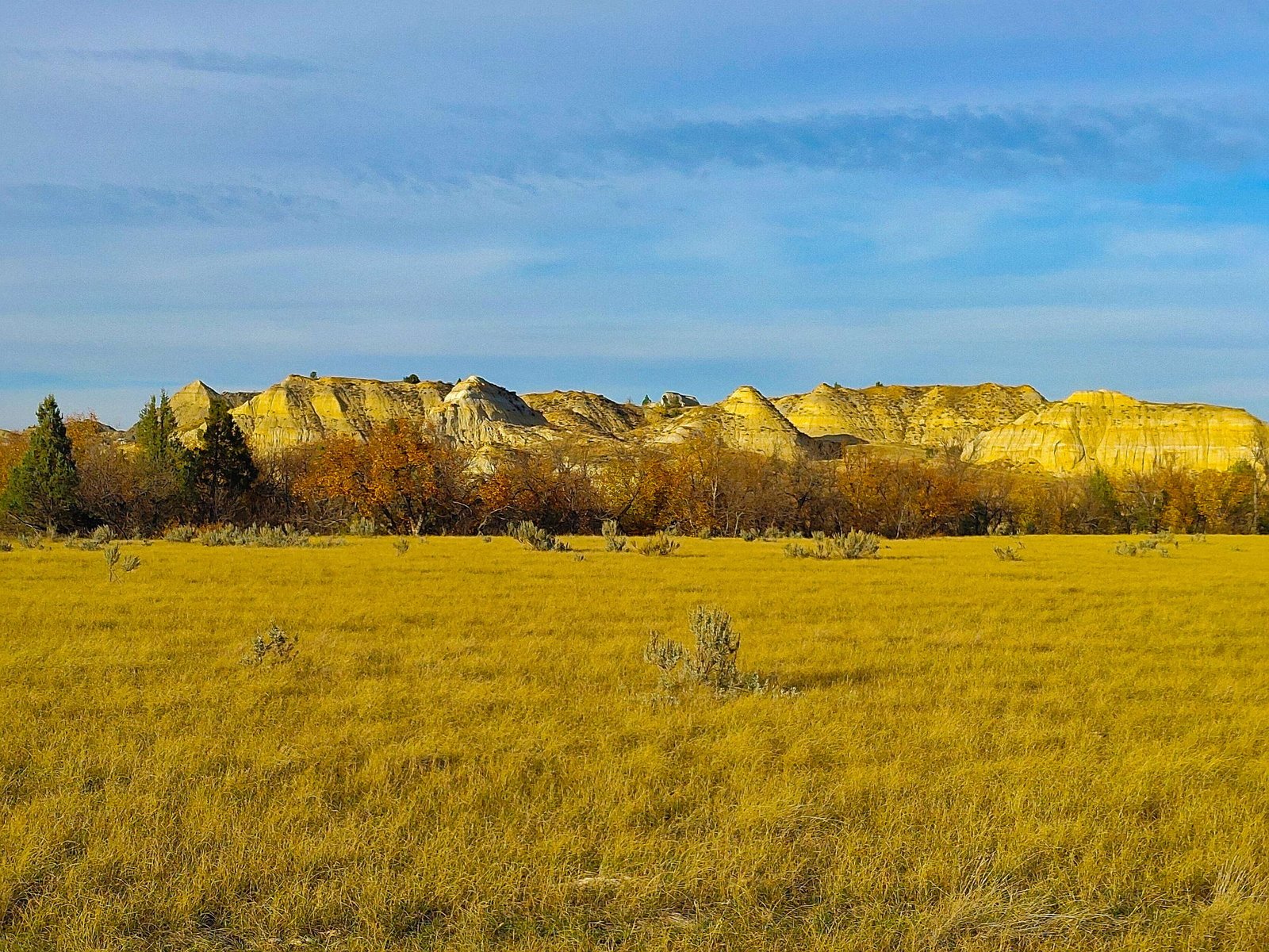
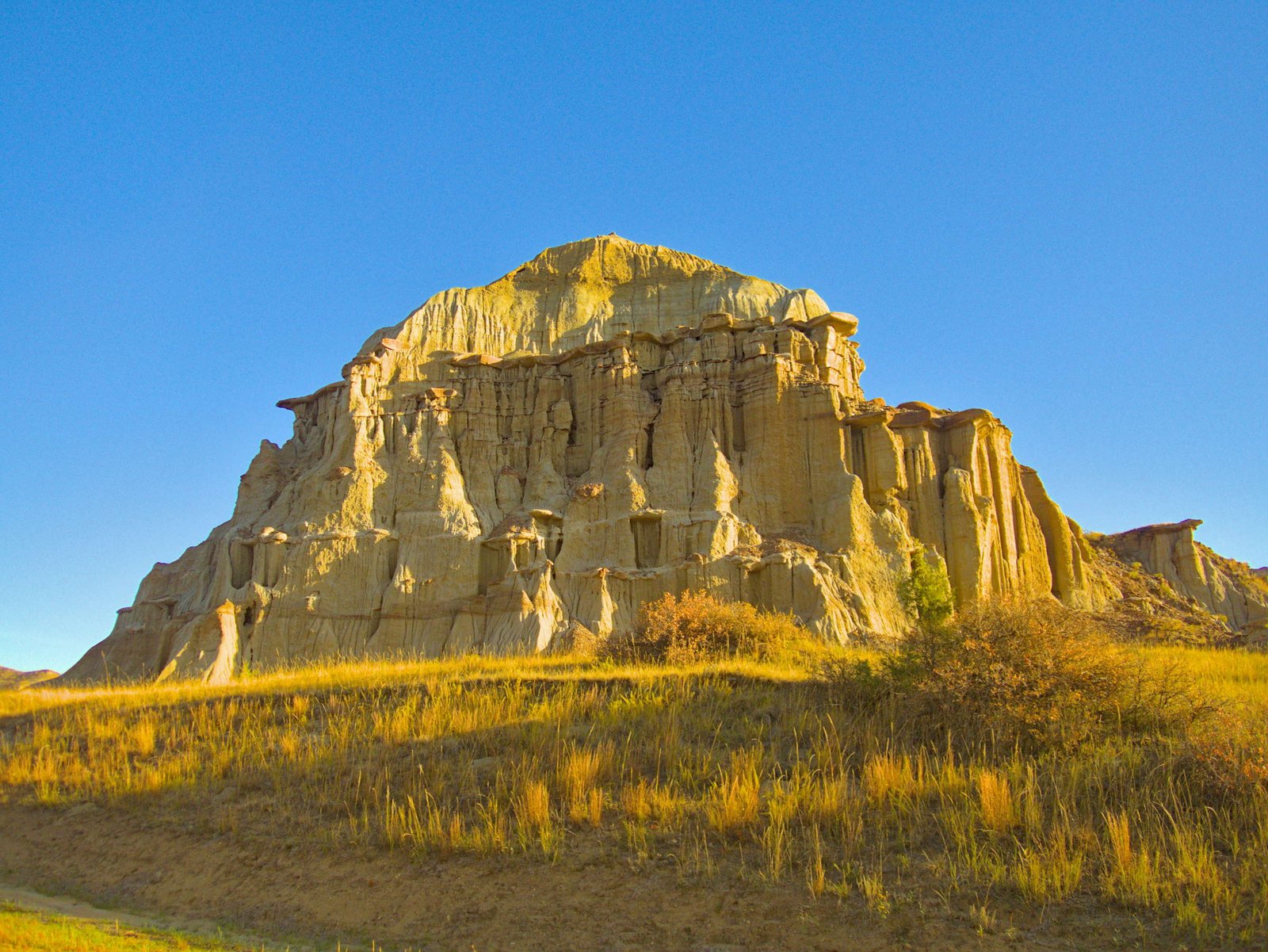
After our scenic tour of the north unit, we found a camp spot about halfway between the north and south units and headed to the south unit the next day, taking the scenic loop drive and a few of the short walks to views. The Badlands stretched out across the landscape.
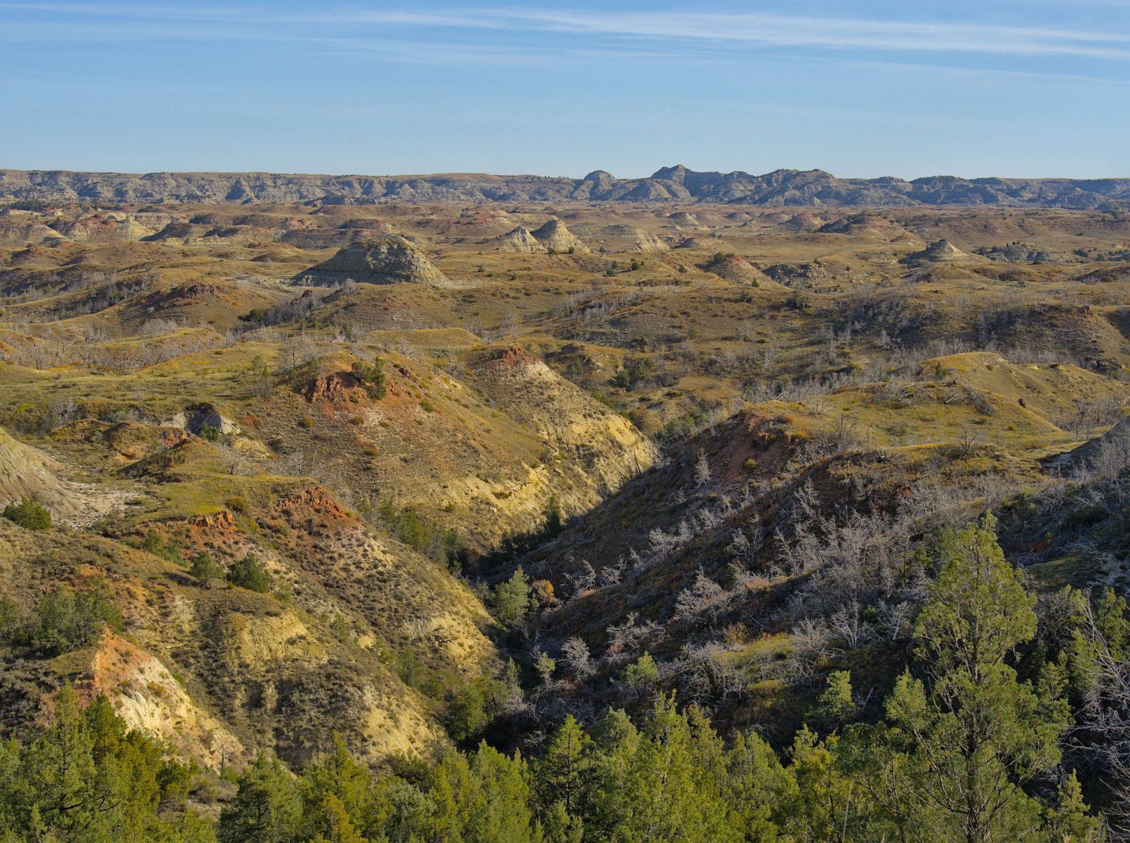
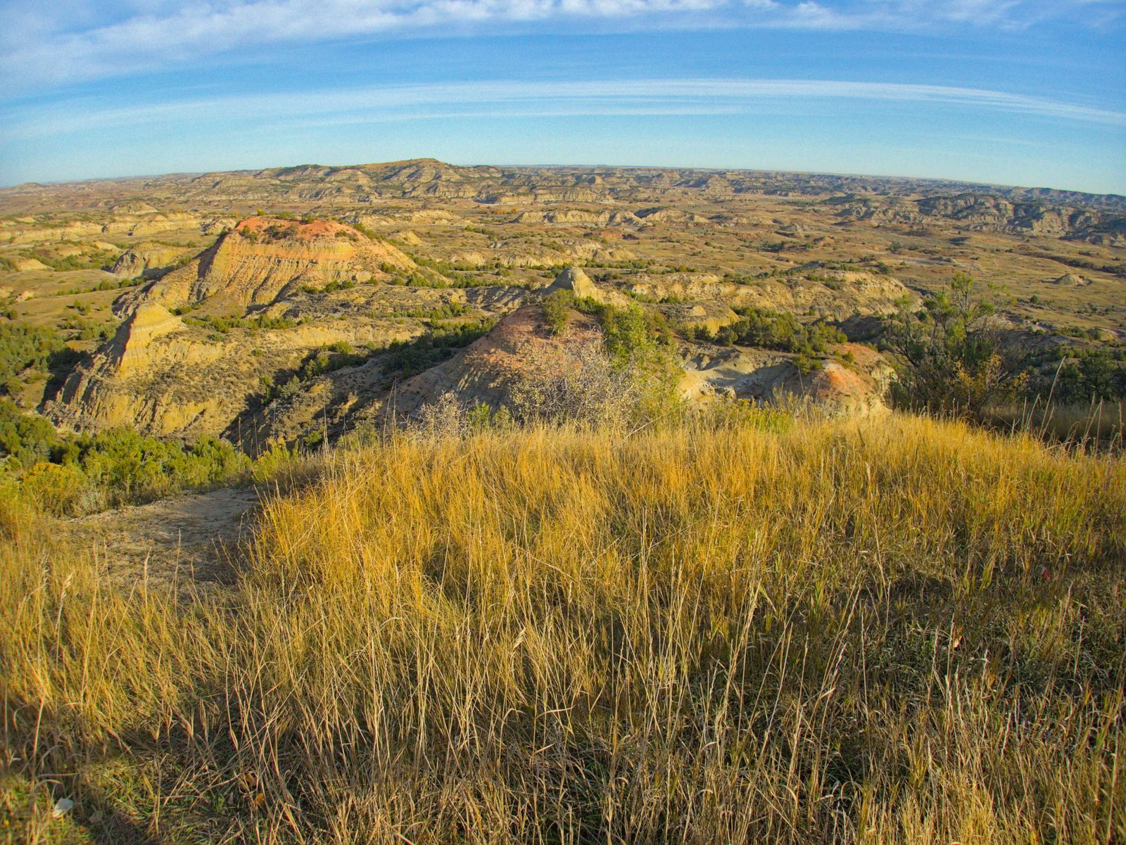
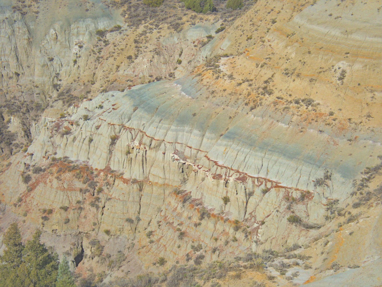
There are a lot of bands of color from the different minerals in the soil. From what I learned, the red layer is called clinker, a rusty iron oxide that has been baked by burning layers of underground coal.
We eventually made our way out of the park and drove north across the backroads of the Little Missouri National Grassland.
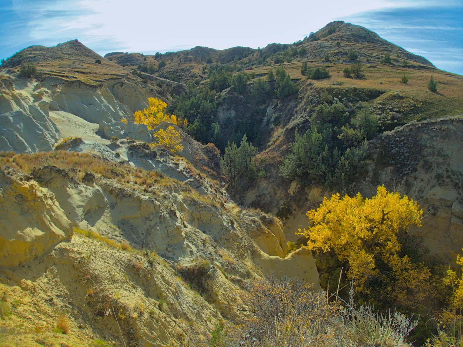
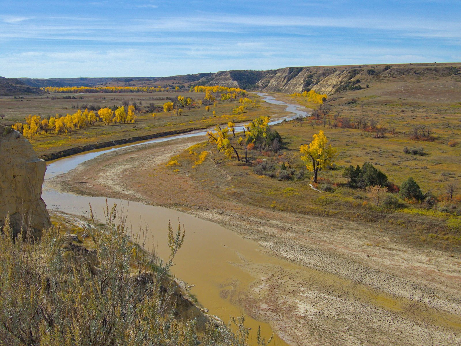
We spent one more night in the badlands and enjoyed walking a short portion of the Maah Daah Hey Trail that crosses 144 miles of North Dakota’s Badlands.
The next morning it was time for us to leave the Badlands behind and continue moving east. Our first stop of the day was at Fort Mandan, where the Lewis and Clark expedition spent their first winter. The Fort didn’t survive until Lewis and Clark’s return journey back down the Missouri a year later, but there is a replica that is open for guided tours.
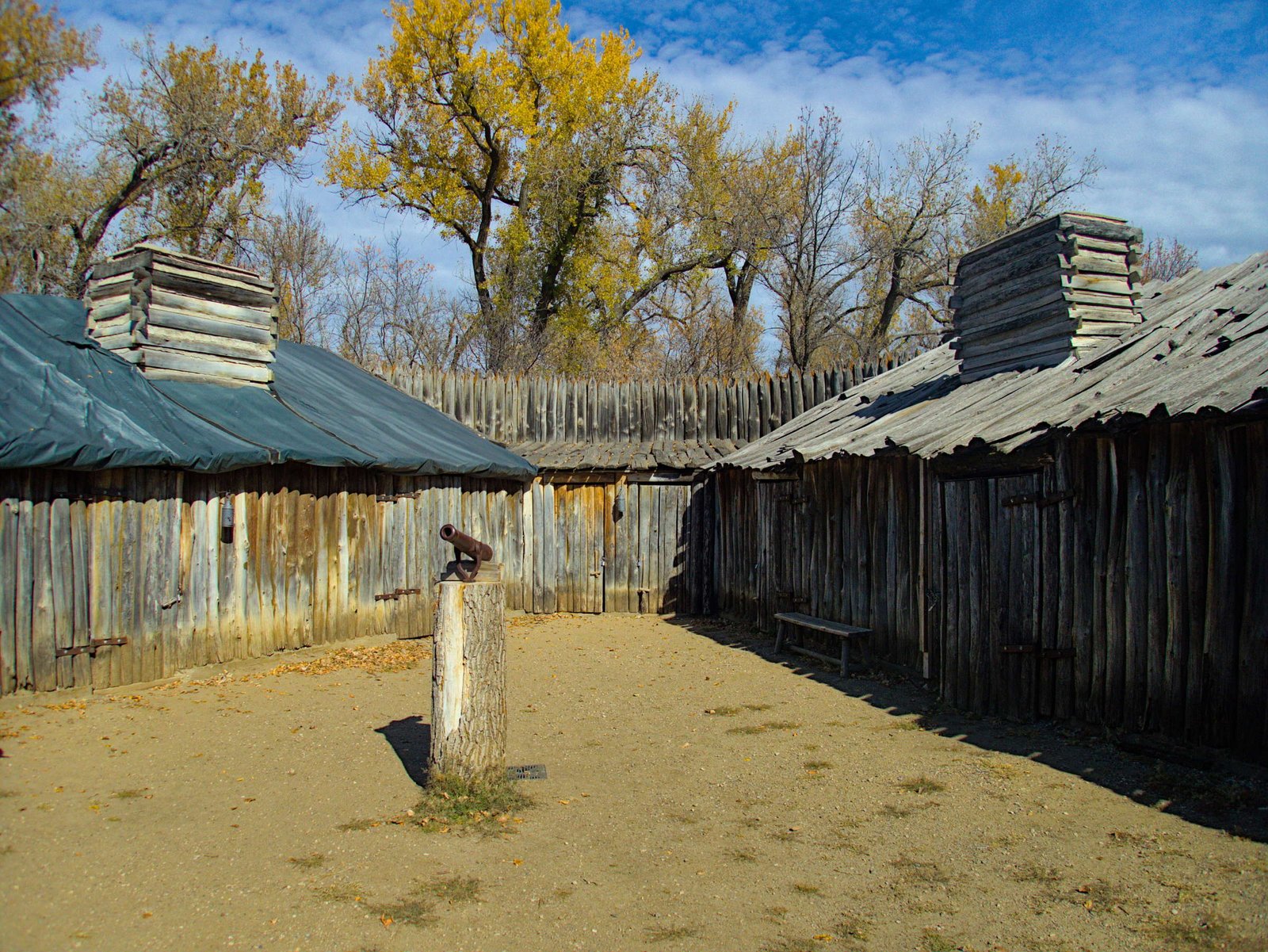
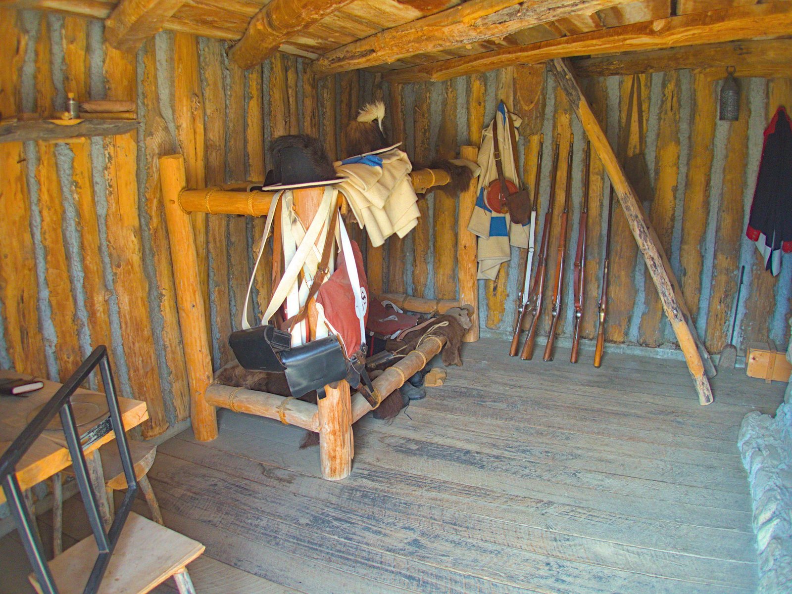
The Fort is built in a triangular shape with rooms that included the officers quarters, enlisted troop quarters, an equipment and trade goods storage room and a smokehouse room, that apparently turned into just a food storage room, as meat didn’t last long enough to be smoked before it was consumed (the estimate was 7 pounds of meat per man per day!).
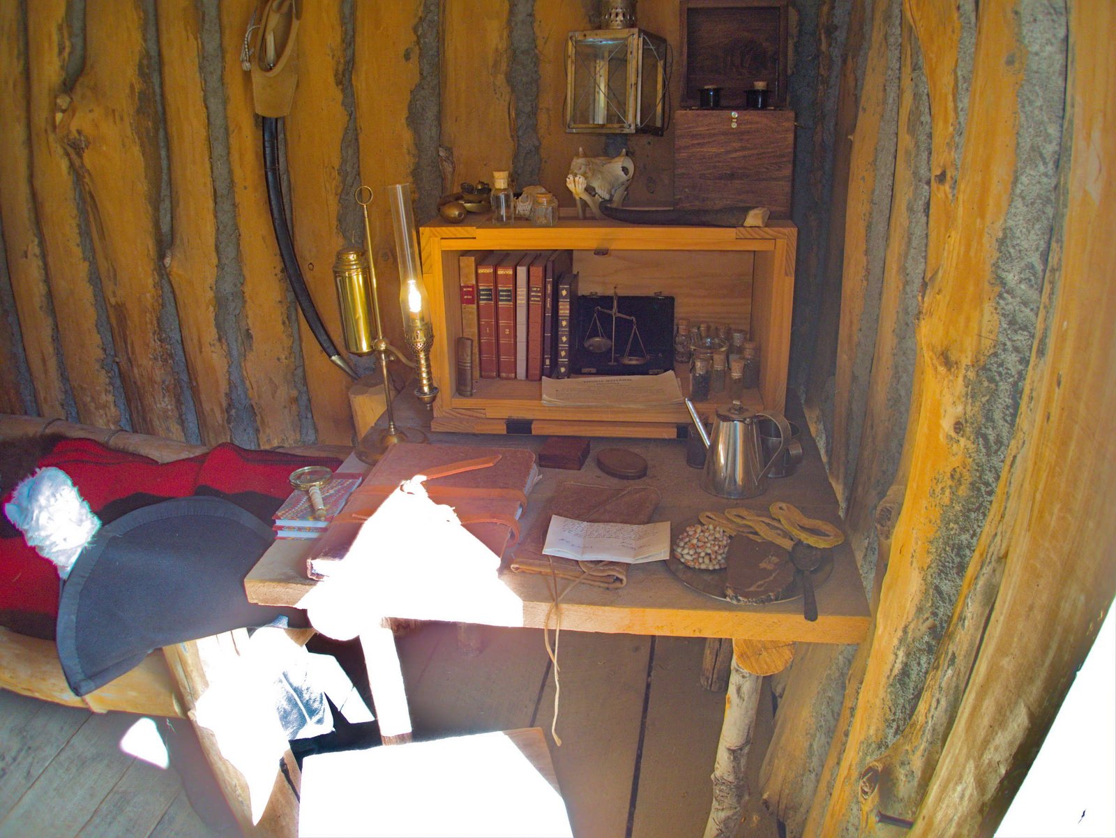
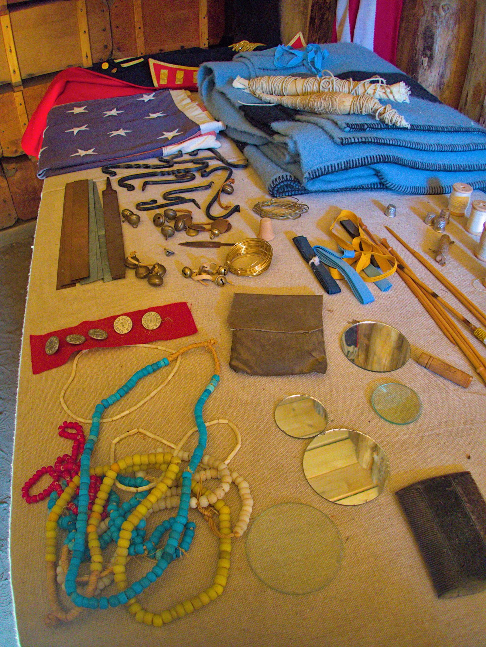
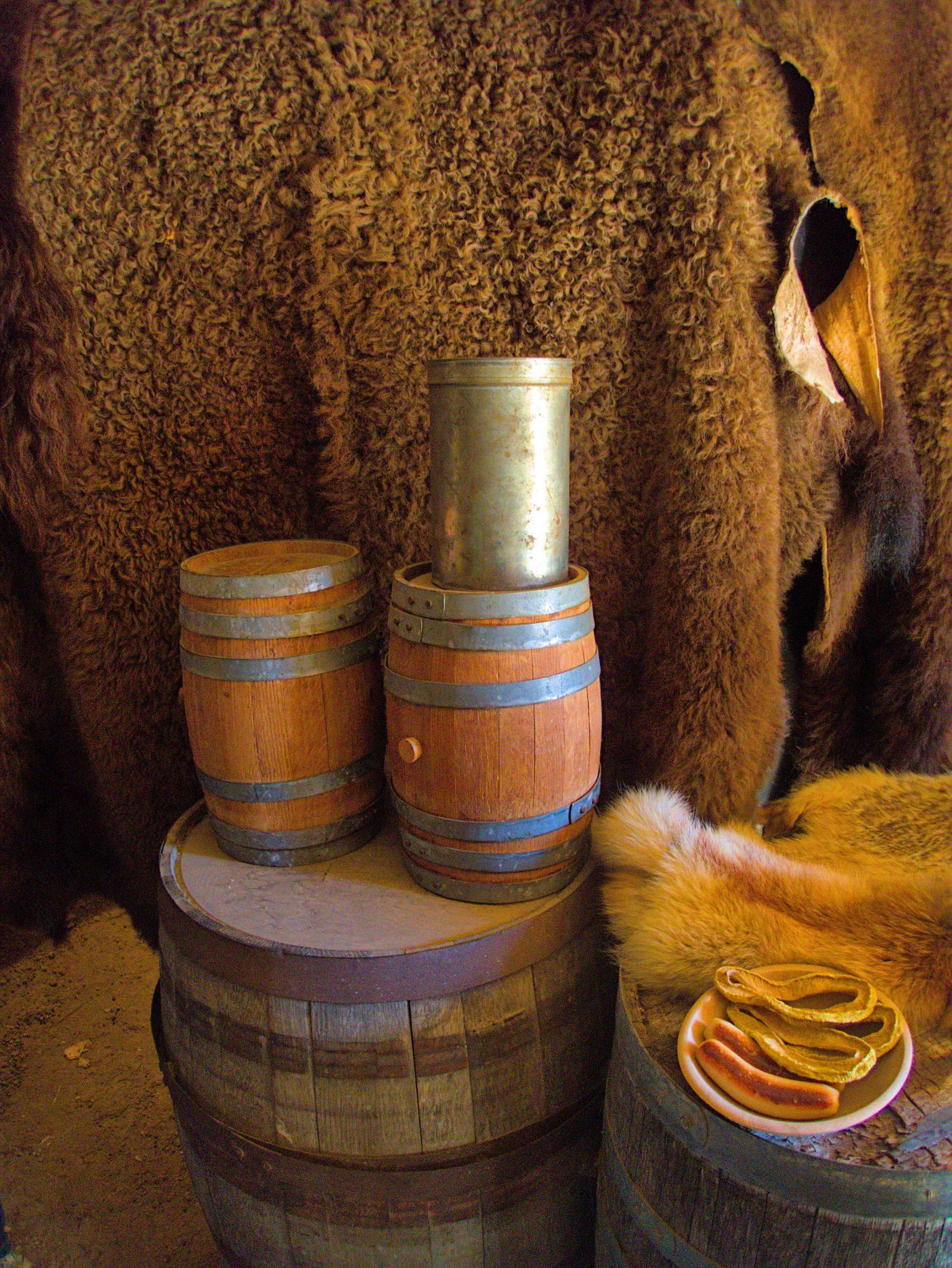
It was especially fun to see the tin of portable soup as it becomes noteworthy in the journey near where we live in Idaho. If you have read the Journals you might recall portable soup being consumed during one of the most desperate times in the Clearwater Mountains of Idaho. One of the expeditions camps was even named portable soup camp. Several other camps in the Clearwater Mountains hint at the hunger faced by the Corps in this leg of their journey, namely Colt Kilt Camp (they ate the colt of course). You can still find Colt Kilt Creek near Powell off highway 12 on the map as well.
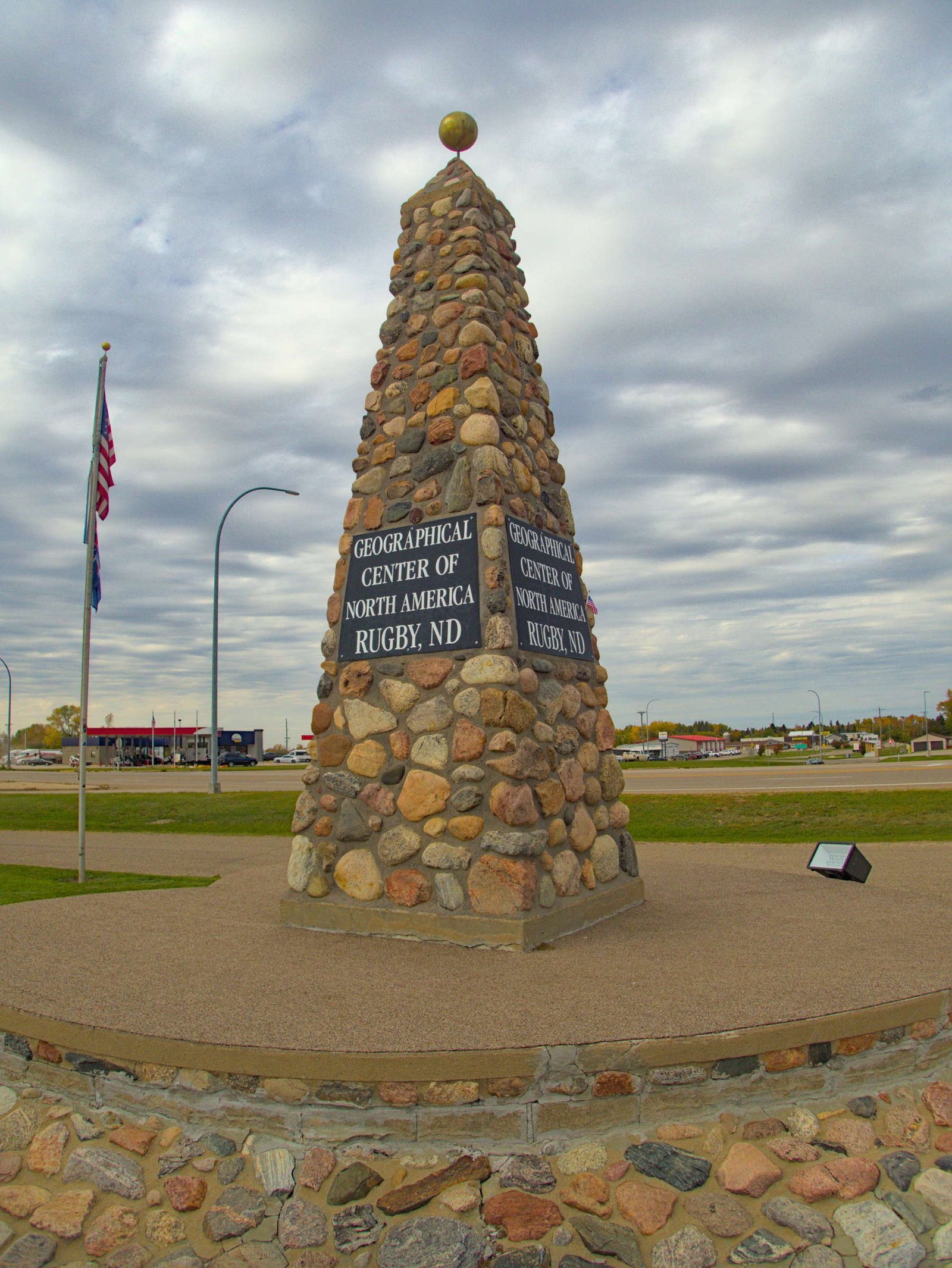
We closed out the day by driving north to the geographic center of North America. Every cross country road trip has to feature a few stops like this (I still don’t know where the biggest ball of twine is!). We got our photo as proof of a visit, and found a quiet spot to spend the night in the tiny Mouse River State Forest in a golden aspen grove.
We finished off our visit to North Dakota the next day. We drove north until we nearly reached Canada and found more actual topography (surprise) in the Turtle Mountains.
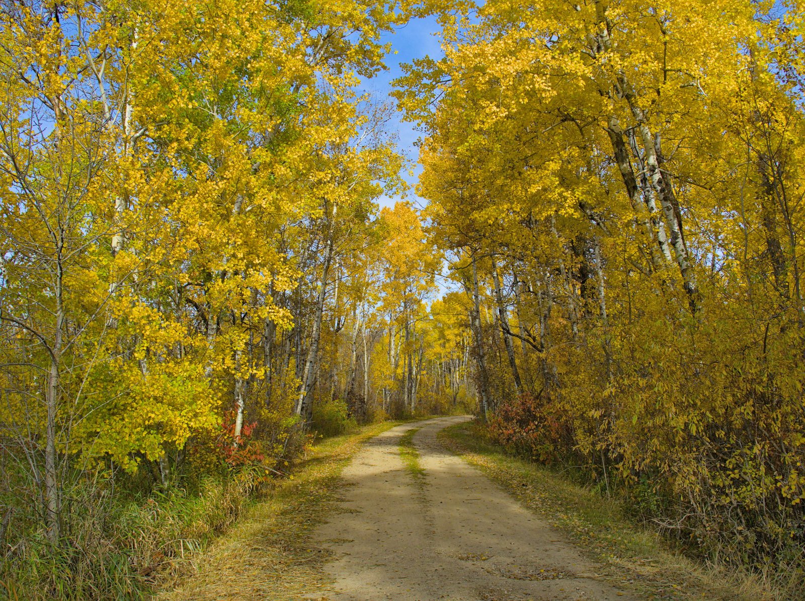
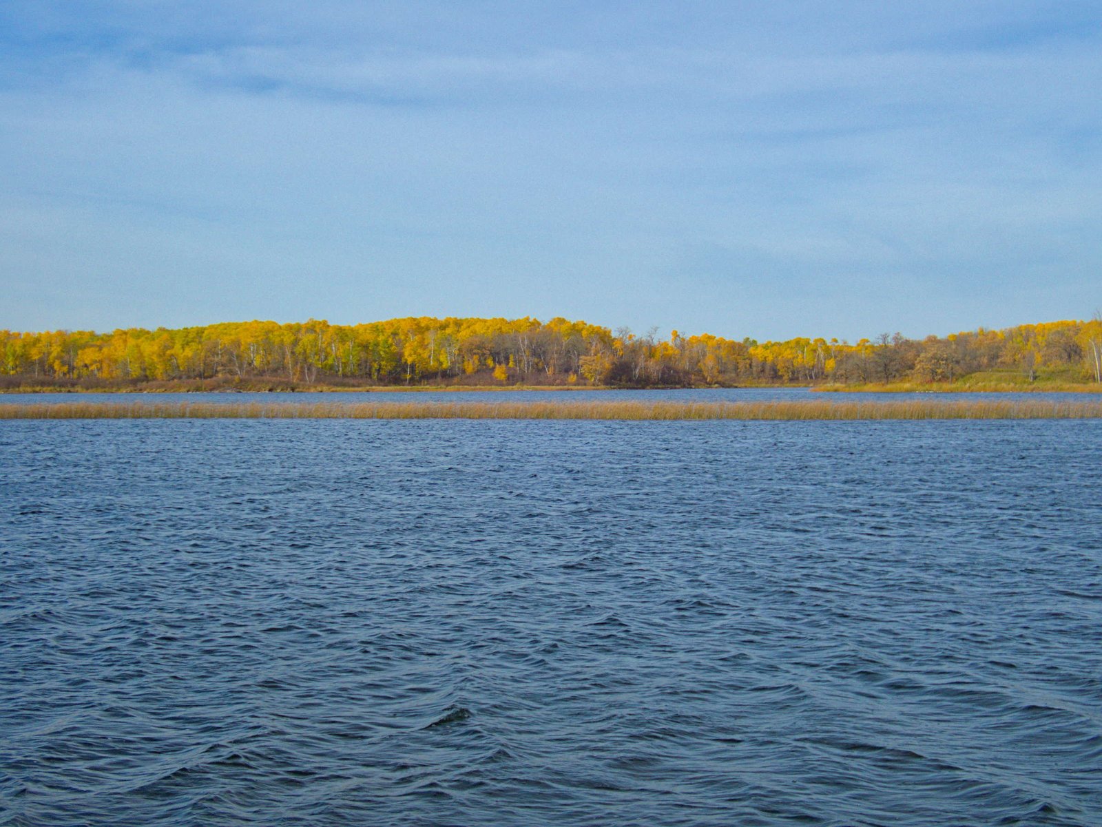
The aspens in the Turtle Mountains seemed to be at their peak gold. Add in a few lakes, and this made it our favorite area of North Dakota. I would definitely make a point of visiting again if I find myself anywhere near the area.
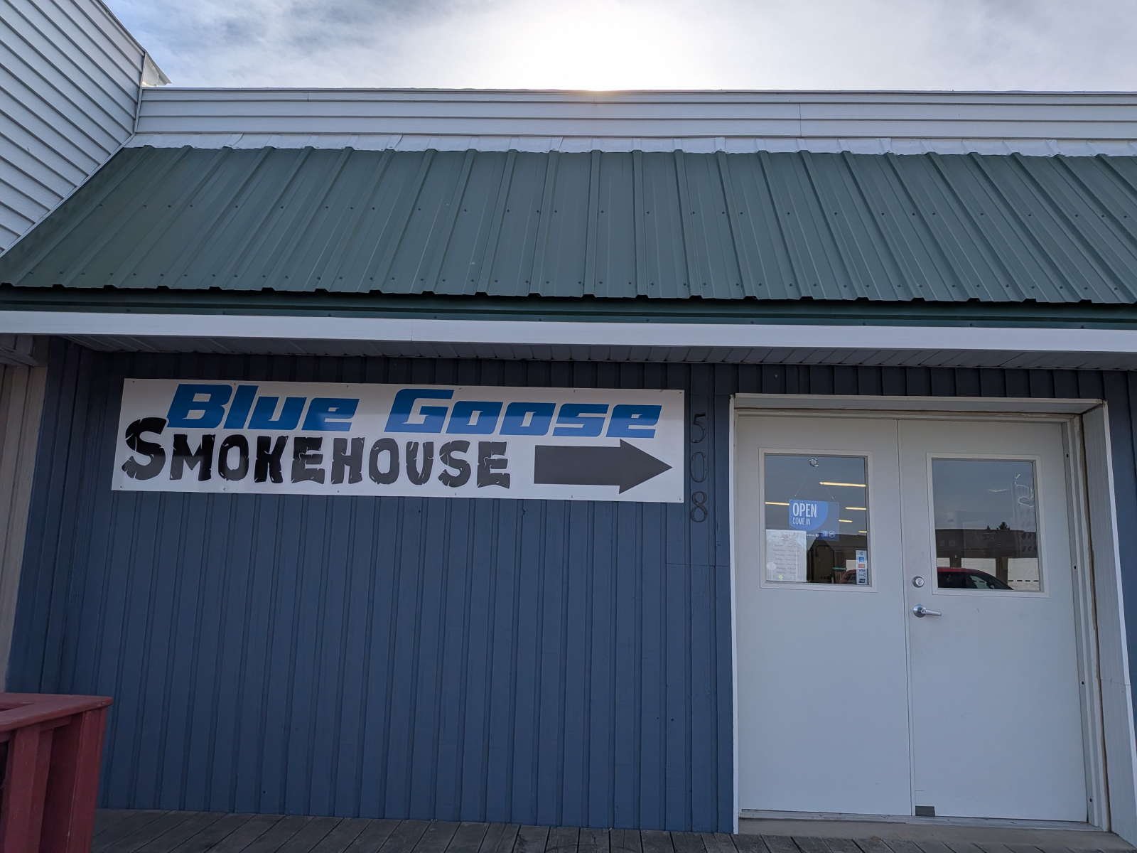
We made one more key stop as we transited North Dakota, the Blue Goose Smokehouse, in Rolla. We scored big at this little spot. It was hard to choose with all the tempting meats, but we went with the jalapeno cheddar sauerkraut sausage (really? who makes that? we’ll probably never see it again), a pound of walleye fillets for a fish fry and the cranberry brats. That is my kind of trip souvenir.
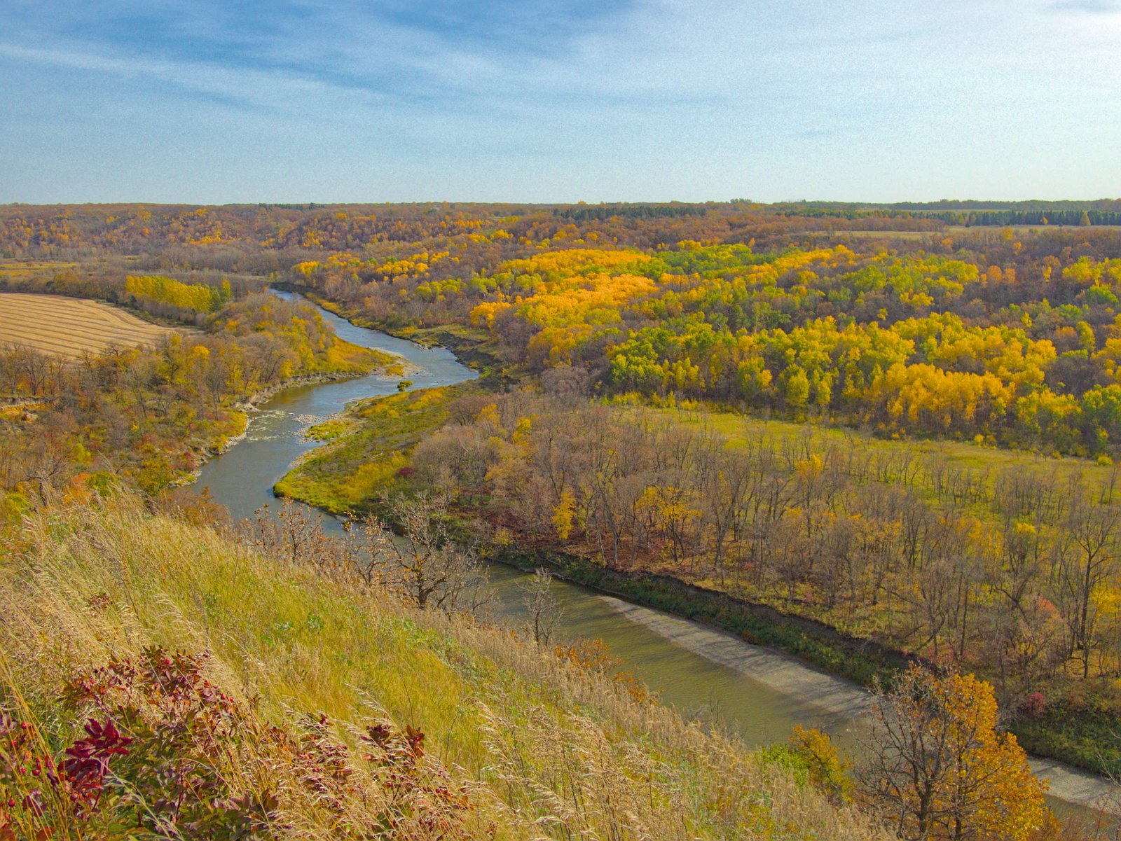
We thought we’d spend another day in North Dakota before pushing on to Minnesota, but the wind changed our minds. As we reached our potential camping area the wind was gusting well above 30 mph, so we made the call to move on instead of spend the afternoon in the brutal wind. We passed through the Pembina Gorge, another notable area of topography in North Dakota, all decked out in fall colors.
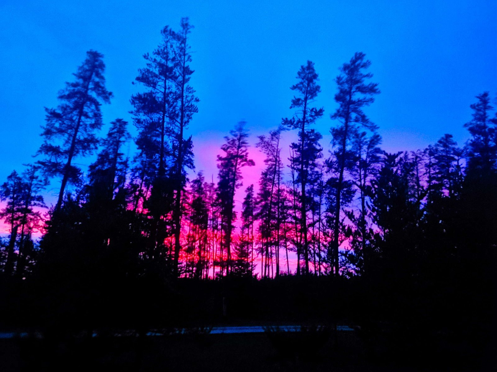
Then it was a big sprint across the boring flat fields of eastern North Dakota and western Minnesota. By sunset we made it to the Minnesota woods. We sat back around the campfire and watched as the sky turned an unbelievable shade of pink.
It was on to the Mississippi headwaters in the morning.


Pingback: The Great 2026 Road Trip: Montana – Occidentalist