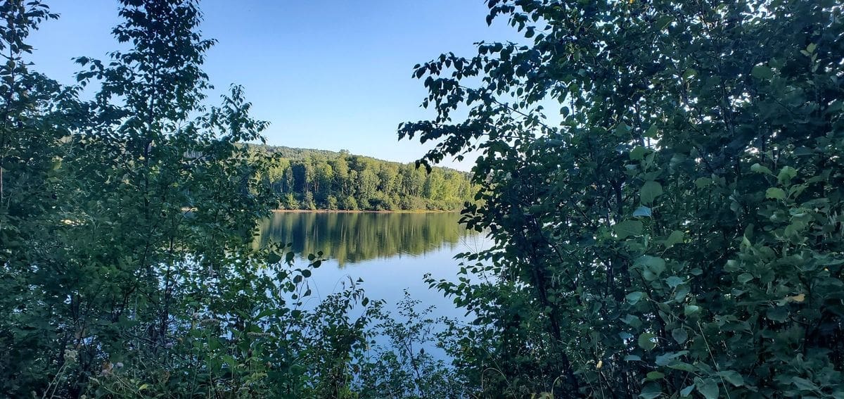
With the Alaska Highway behind us our road trip tour around British Columbia was at the beginning of the end. Not far after Dawson Creek we found an interesting lake with just a couple campsites on it and settled in for a couple days of paddling and relaxing while overlooking the water.
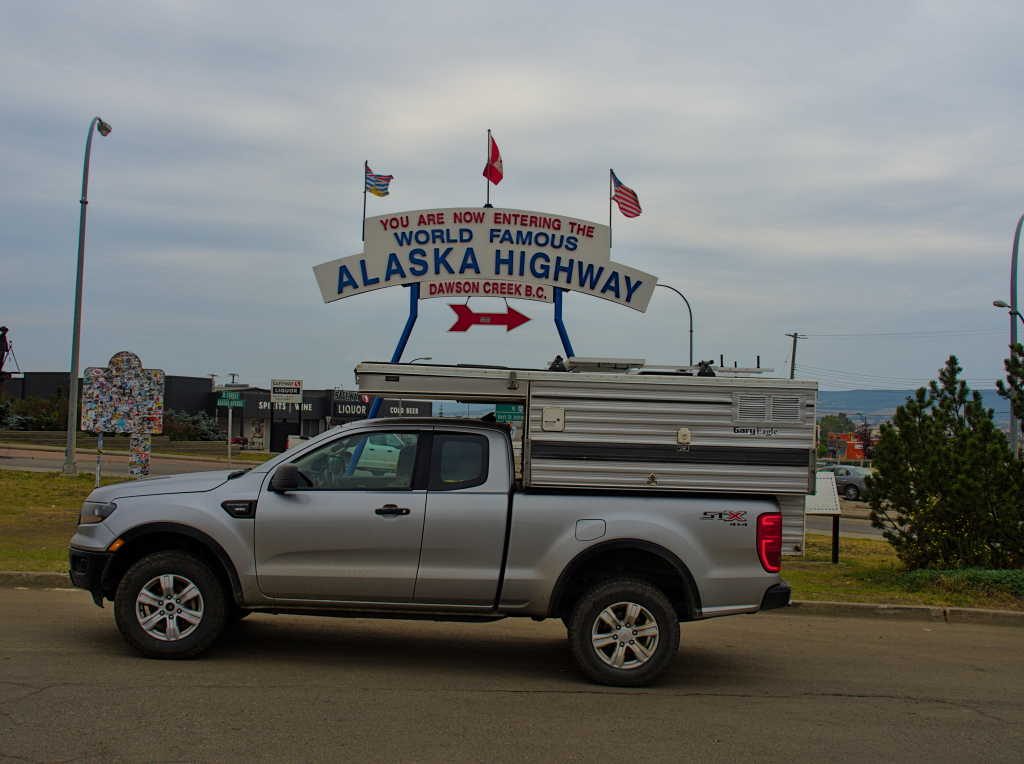
Note: This is part five of our “Grand Loop of British Columbia” trip. Part 1 is here: A Loop of British Columbia, The Fishing Highway part 2 is here: A Loop of British Columbia, Salmon Glacier and Bears part 3 is here: A Loop of British Columbia, The End of the Cassiar Highway and part 4 is here: A Loop of British Columbia, the Alaska Highway
We picked up a whole pink salmon for about $3, filleted it out and threw it on the grill. What a treat, it was delicious.

Speaking of delicious, the serviceberry bushes around the lake were completely full of berries. Those went into pancakes the next morning.

We went out for a day long paddle and covered about 5 miles, fishing and taking in the sights. Believe it or not I didn’t take one picture, I guess I was just into the moment.
After a relaxing day on the lake we packed up camp the next morning, and continued our trip south. If you’ve been following along on this trip you might have guessed where we ended up. Yes, another small campground on a lake. Camp, paddle repeat, I liked this routine.
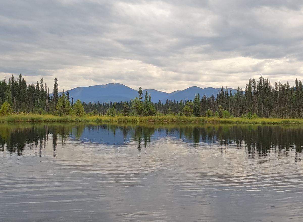
On this particular lake the trout were rising and I fooled a few into taking my fly. Back in camp a beaver swam by, devouring lily pads about as fast as it could chew them into bite size pieces. It was the ideal little lake to spend an afternoon on.

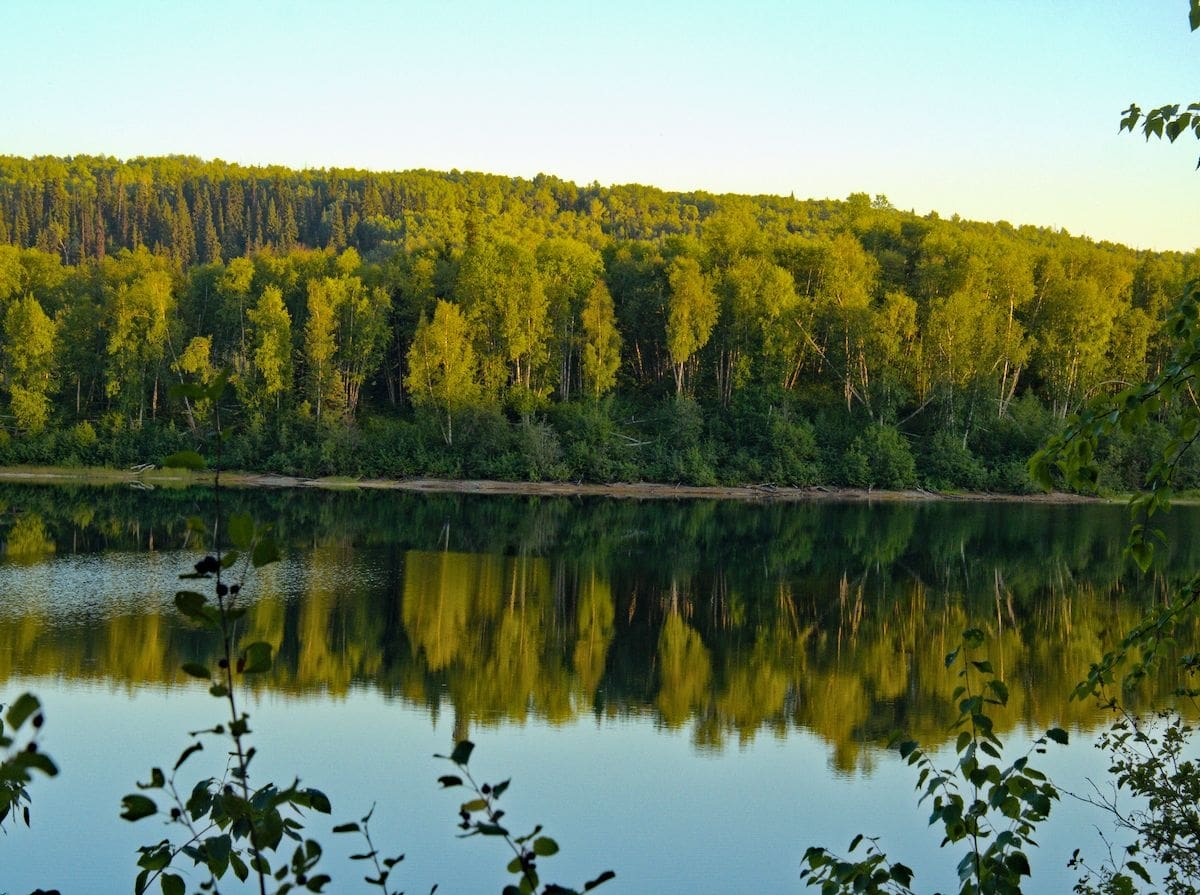
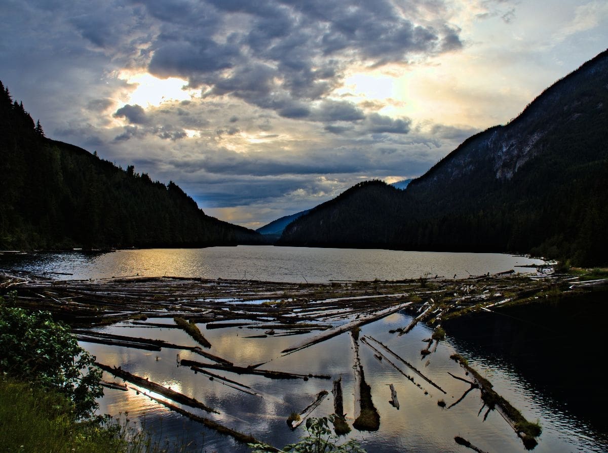
Sun was setting on another beautiful day in Canada.
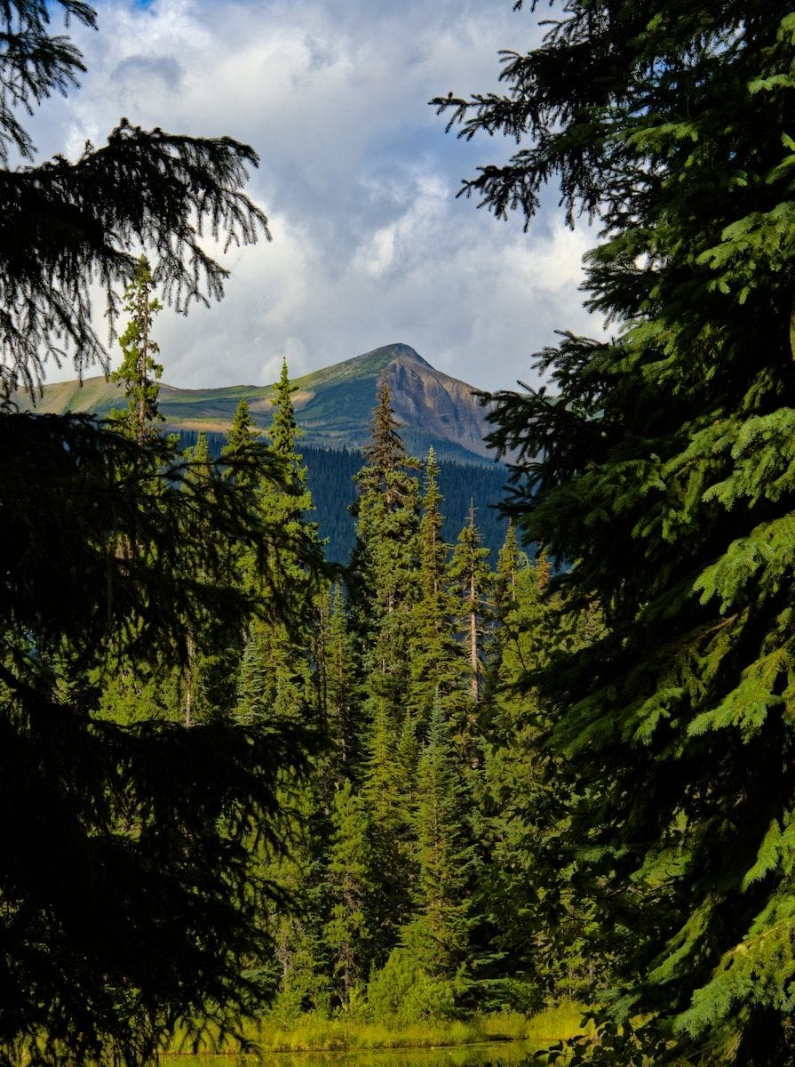
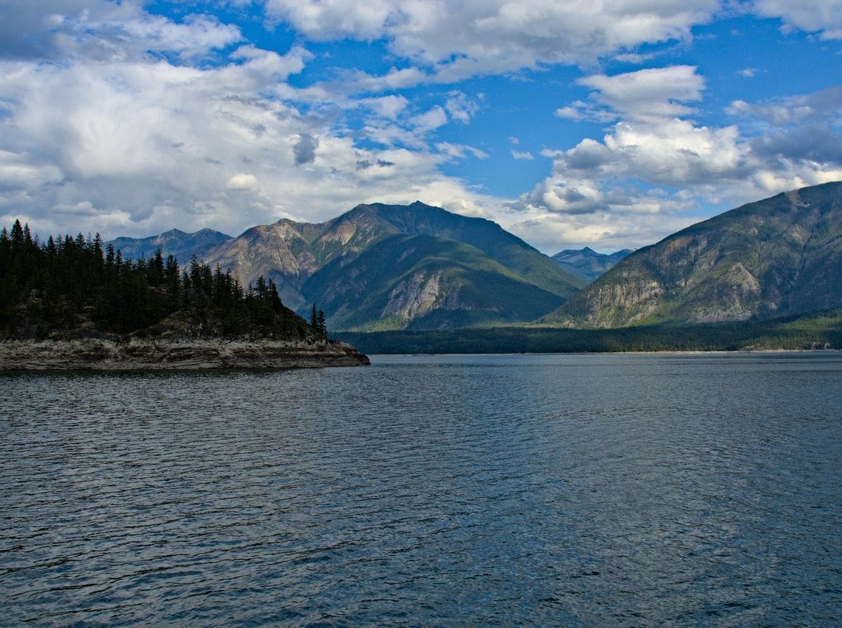
We were following the Canadian Rockies south. The view from Mud Lake offered a particularly stunning view.
The next leg of our trip involved a few ferry rides, this ferry over the North Thompson River has to be the smallest ferry I’ve ridden on. It looked like it would max out at two vehicles.

Not all of our camping picks worked out. We would typically select a few possibilities from the waypoints of recreation sites I had downloaded before departing on the trip. We’d drive for a bit and then start checking them out, staying in the first one that worked for us. One of the days I figured was going to be our shortest day ending up being one of our longest. Our first site was too close to a neighborhood that we didn’t want to camp near. Our next site was on a nice lake, but the parking area that was perfect for one rig was set up with two adjoining sites. We envisioned someone pulling in as the sun set, parking right next to the camper, revving up their generator and leaving it running into the night. Next site. We headed to a cluster of several possibilities near the ferry we planned to take the next day, one of these would surely work. Nope, the entire area ended up being closed due to a wildfire that blocked the route in. So on to the ferry we went, now an entire day ahead of where we thought we’d end up.
The ferry ride behind us we headed toward our picks of camps we had made for the next day. The road in started out alright, and grew progressively worse. Oh well, that keeps the crowds out, no problem. Well, we arrived at our next pick to find a site, but to camp here you essentially had to park in the access road, and if anyone else came there was no turnaround because that was going to be your camp. Not ideal, but never fear, there’s another lake just a mile or so away. Well, another fire had occurred earlier in the year and the road into that one was basically turned upside down from a dozer turning the old forest road into a fire line. Alright this is just not our day. Next? We passed the sign on the tree that said something like “travel not advised, road is not maintained” on our way to our next pick. This one better work, as the day is getting long at this point. Well, don’t believe every sign you come across is one of my mottos. The sign that says “campground full”, well it rarely is, someone is just too lazy to go take it down. The road isn’t maintained? Well, how bad can it really be? Yes, there were a couple really old crashed abandoned and rusted out cars in the first quarter mile, but actually, the road wasn’t too bad. We even came across our tenth bear of the trip on our way!
We pulled in to Little Wilson Lake with a little light left in the sky. Since we covered so much ground we decided to make this lake a layover lake and our last stop on our Grand Loop road trip tour of British Columbia. Once again, we had the entire place to ourselves for two straight days. The only noise was from the loons, and a bit of rain on the camper roof.

We found a few more cooperative (small) fish as we paddled around and watched the fog lift after the rain. I suppose it all worked out, this was a good spot to say farewell to British Columbia for this visit.

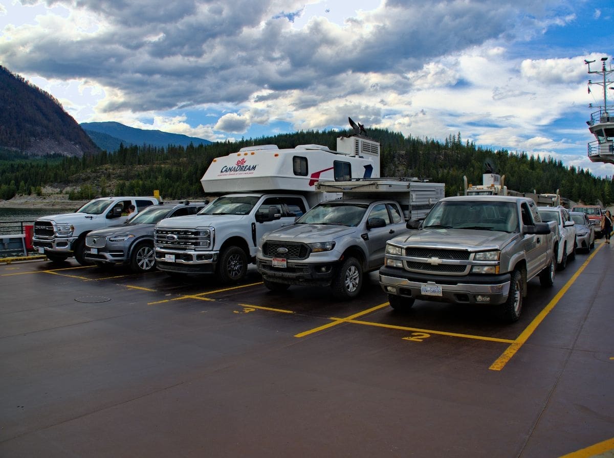
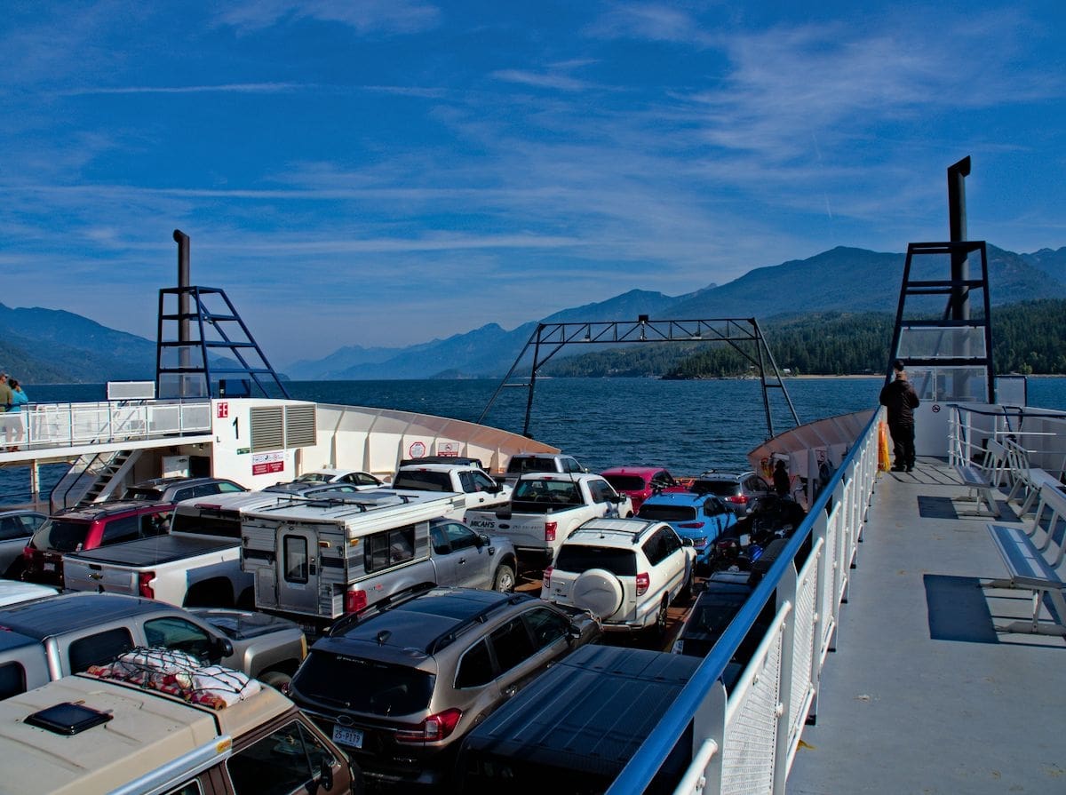
We took a ride across Kootenay Lake and made our way to the border at Porthill.
The border crossing was uneventful, no line and hardly even a question. Much better than the last time we inadvertently brought back two pieces of wood that cost us an extra four hours at the border.
We kept up our tradition of the trip with our last night out before the drive across the Idaho panhandle to home, another night at a lake, with free camping. It had been a grand loop for sure.

I don’t recall hearing a loon, I guess we’ll have to head back north for that.