Lost Coast, Continued
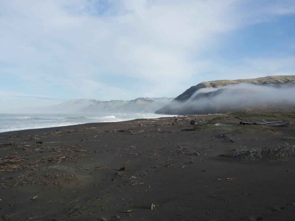
Let’s see, where did we leave this off? Oh right, a morning walk on Mattole Beach. We headed back to camp and enjoyed a few more views. It appeared that the last of the morning fog was spilling out of the coast range and onto the beach.
We headed south. Mattole road south of Mattole beach gets to be a bit sketchy with steep twisty portions washed out by rains. Maybe a bit of log truck traffic would justify a bit of maintenance…. just saying.
I saw zero signs of any kind of actual forest management in this area, just a few clearings and openings surrounded by 8′ high privacy fences and a strange smell. Pretty sure these nursery locations weren’t growing our next generation of trees. Those folks aren’t paying into the road maintenance budget, I can tell you that. Hello Humboldt County. Enough of that, on to the second remote Shelter Cove of the year. This time it was a big steep decent off the Kings range to Shelter Cove California, instead of a lengthy ferry ride in Alaska though. About halfway down the grade the store actually advertises a stop to cool your brakes and wet your whistle. We didn’t take them up on it until the way back uphill, but the brake smell once we got to the beach indicated we should have. Did I mention steep grades around this country?
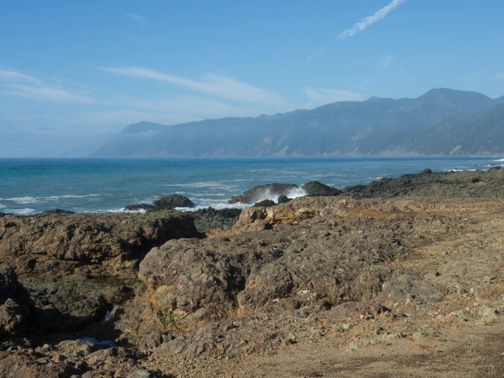
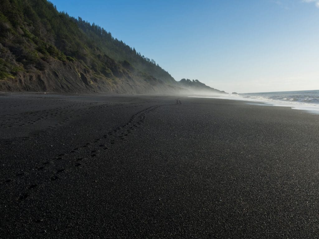
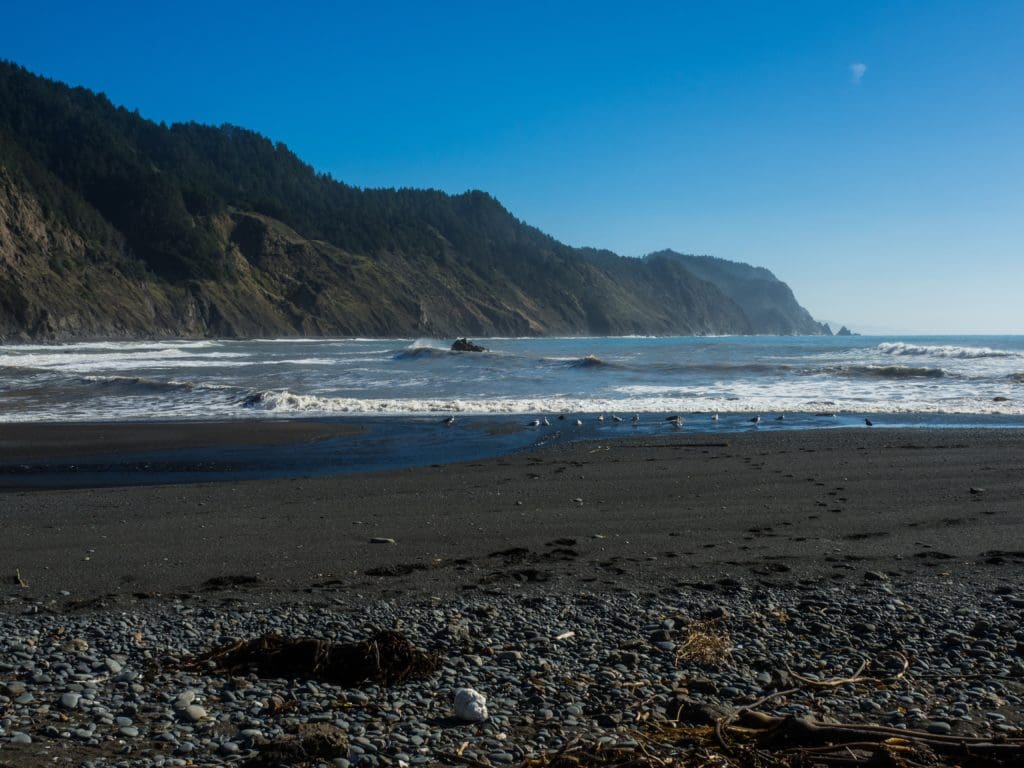
We took advantage of the beach level access to take a walk across the black sand / pebble beach as we basked in the sun.
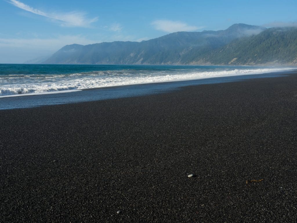
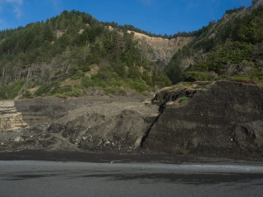
It was a good two mile walk with lots of sign of landslides contributing to the beach.
We headed out of Shelter Cove, did a bit of grocery restocking and somewhere along the line finished the first road trip book, Earthcore, which is actually an oldie (~10 years) but set to be re-released in text and hopefully audio right quick. You need to read this book! And you should be really sorry you missed the original broadcast, but hey, you’ll soon have another chance to catch up with reality (it’s a true story, of course).
We left Shelter Cove and headed to Wailiki campground for the night. We were fortunate enough to have a huge break in the trees to be able to view the gigantic supermoon from this inland campground that we happened to have all to ourselves. I think that this might have been the first time we pondered out loud, can we make the entire trip without buying wood? Lots of people leave wood behind, and we make a project of collecting it and not buying more wood as we go along. But a 17 day trip? No way we can get through that without buying a few piece of wood. Right? Well, we’ll see.
Up the next day early and on south. We were planning on ending the day on Usal Beach but there was a question in our mind, is the road open? We took a side trip to Needle Rock.
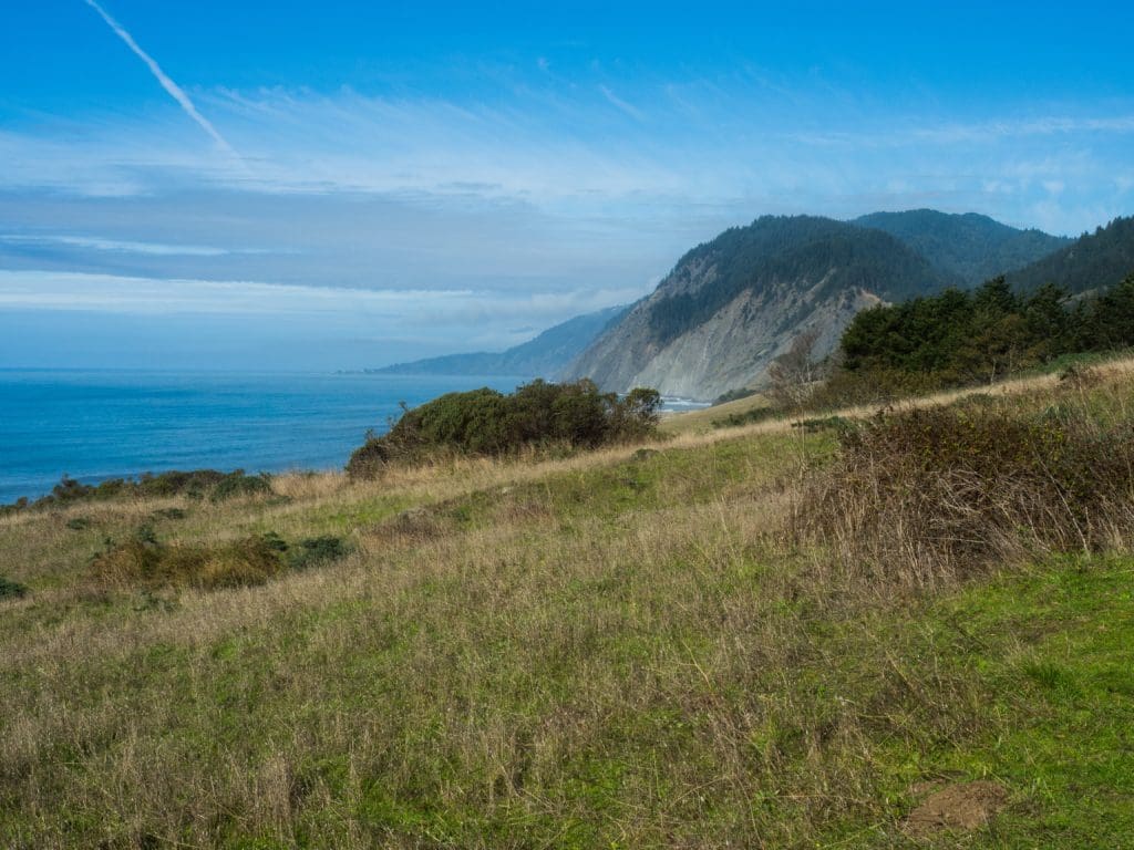
Suddenly I didn’t even care about getting to Usal. I was home. We pulled into Needle Rock and were immediately met by the host Sophia (So- Fi – A). as she was preparing to go out on a hike. It could have been due to the blue sky or blue ocean, the rough roads and lack of crowds, or the hospitality of Sophia, but mix it all together and you have a place you can stay for quite a while. We did, but I wish it would have been even longer. The question we got immediately is, “are you going to stay 2 or 3 days?” We were thinking we might move on after a few hours but we realized this was a special place. We got in at about 9 a.m. but we immediately leveled the camper and spent the day. and stayed well into the next.

Which trail should we hike? After a while we essentially flipped a coin and headed south towards Bear Harbor. It turned out to be the best day of the trip in many ways.
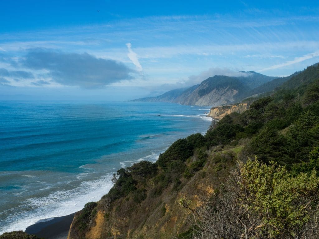
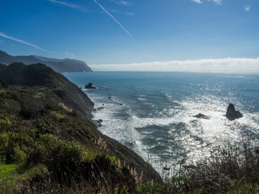
We hiked along a recently abandoned road that used to connect to a farm and development at Bear Rock to what was once a railroad harbor and sawmill at Bear Harbor. Nowadays it hosts a few campsites and the trail, but you can view what used to be quite a development through picture albums at the visitors center at Needle Rock.
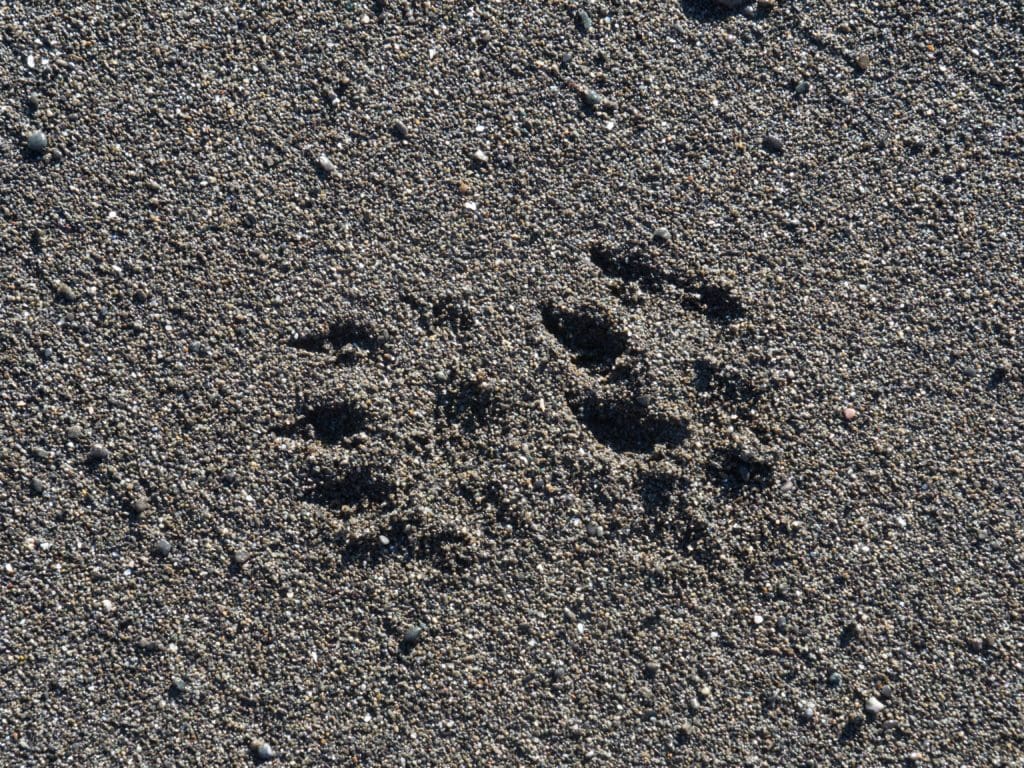
It was such a nice day we went for a wade. That meant leaving the camera behind. Of course, that meant an otter would make a dash for the beach. No pics except for footprints left in the sand.
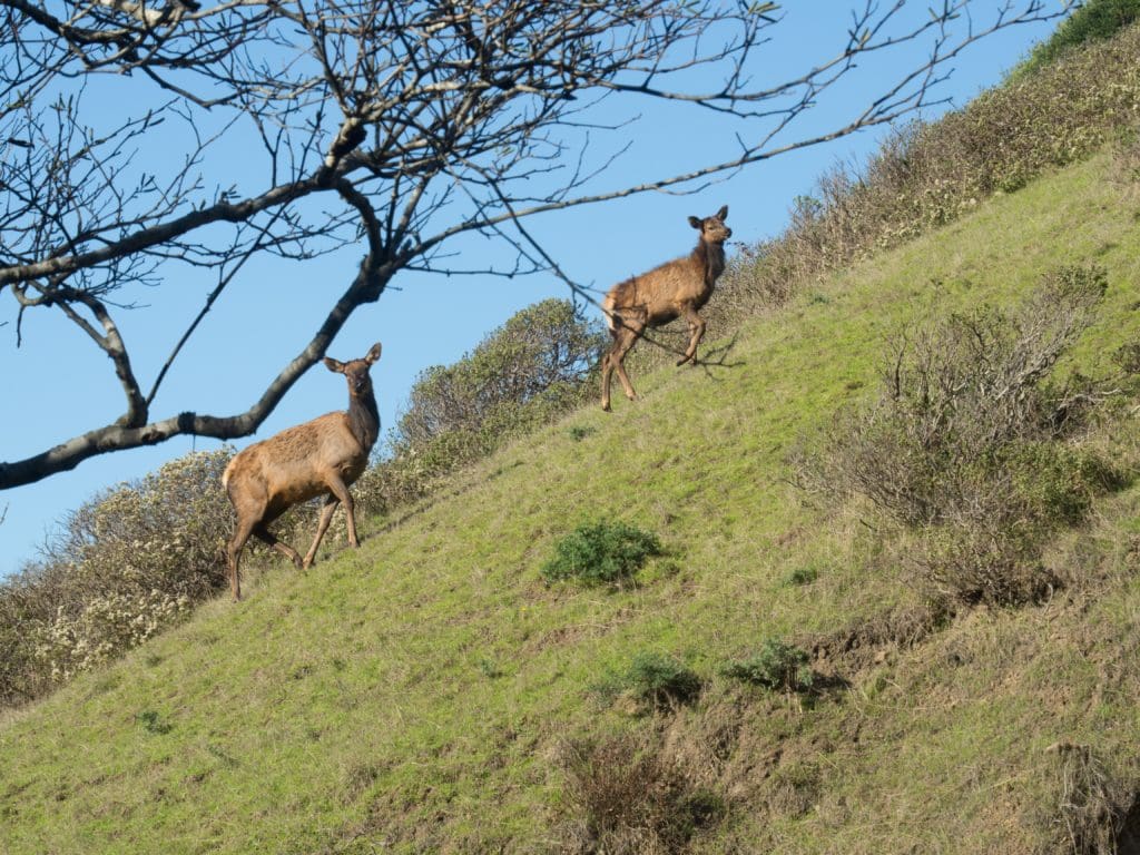
Back to camp we went. But it wasn’t without obstacles. The local elk herd was foraging and didn’t mind blocking the trail for a while. I’ve seen more aggressive, but these gals have no worry about getting out of the way for mere humans.
What a blue sky day.
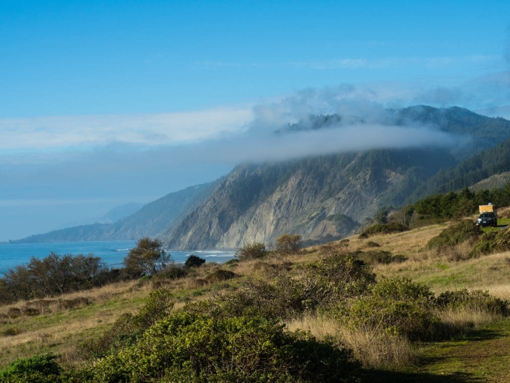
Before too long the sun went down. I can’t understate the beauty of this place.
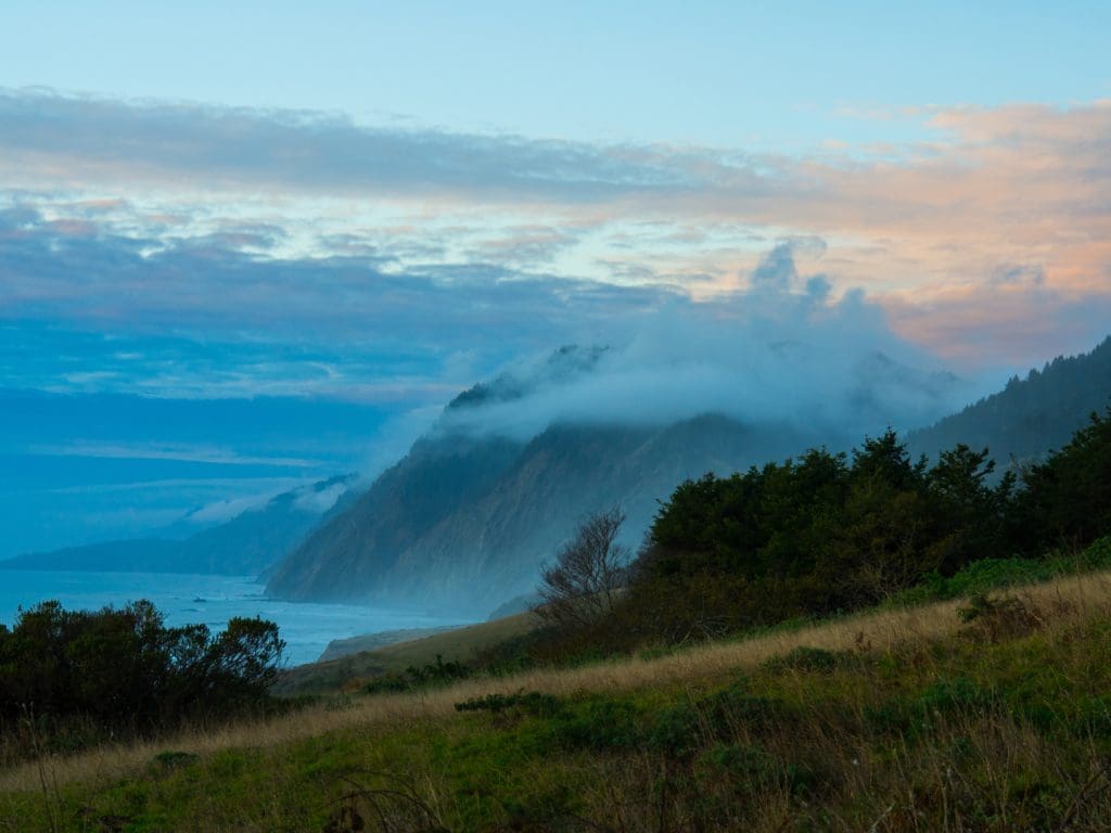
In the words of my favorite philosopher, “If you don’t do it now, you’ll only be one year older when you do.”
![]()

I’m embarrassed to admit I’ve never been to Needle Rock. Sounds like I need to make it happen.
I’m looking forward to reading about the Usal to FB segment.
It’s a great out of the way spot. Usal is up next!
As usual, you have found the unique and beautiful places by following the path less taken… Keep on with the outdoor adventures and your wonderful photographs and commentary. tom
Nice write up! You had a great trip!
I love reading the travel stories and reliving these moments with you through your amazing photos!