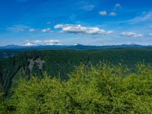
You think you have a plan, then something changes. We were going to be floating the Deschutes, then just like that we found ourselves in the Owyhee country of southeast Oregon instead. Plans for the Deschutes fell through so we took a look at the list of possibilities. There was a break in the rain, which is absolutely required if you want to even think of travelling the roads around the Owyhee. With that we were off across the high desert.
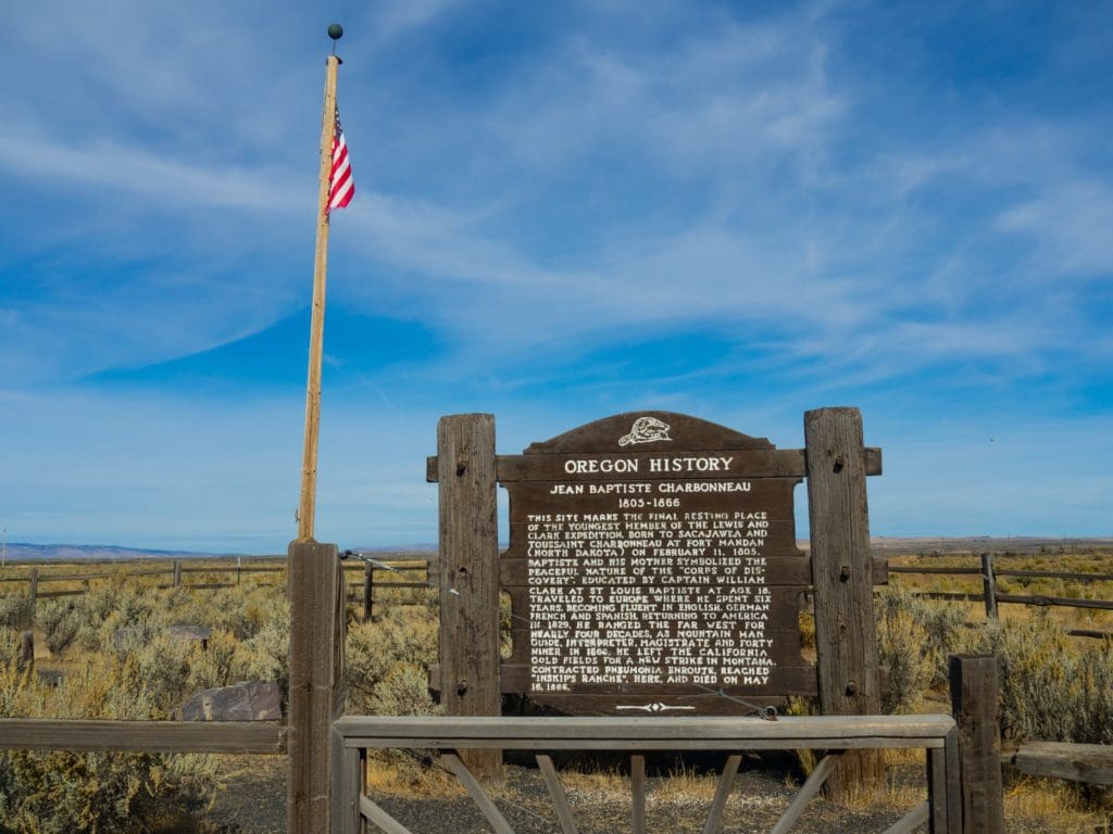
We stopped at the grave site of Jean Baptiste Charbonneau near Danner. Charbonneau, child of Sacagawea was born early on in Lewis and Clark’s expedition and spent most of his life in the west before perishing here.
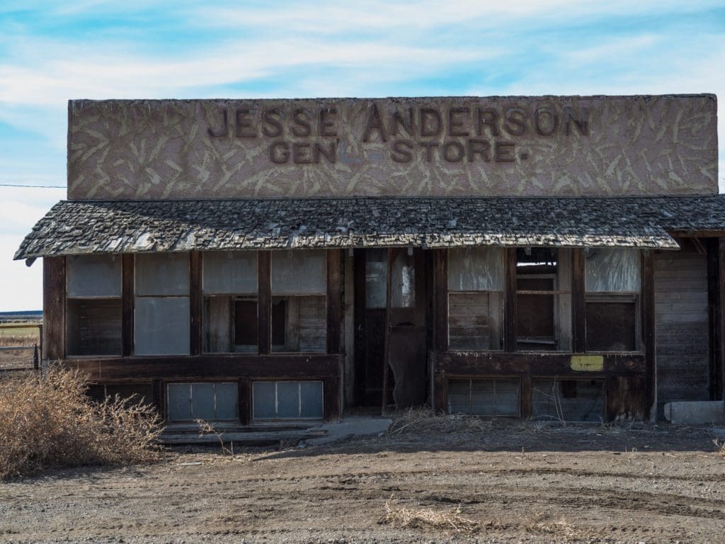
Onward through Rome and Jordan Valley (don’t forget to top of your gas tank!) to our first camp at Succor Creek we went. It takes a while to get out here, so our first day was pretty much a drive and wander through the desert.
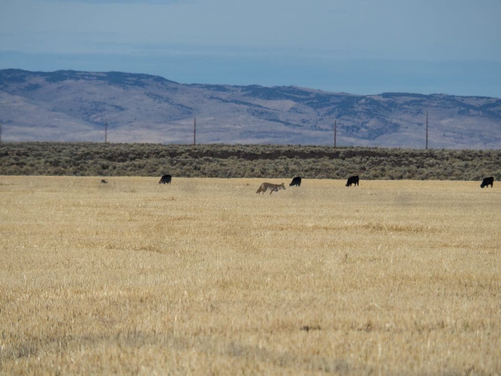
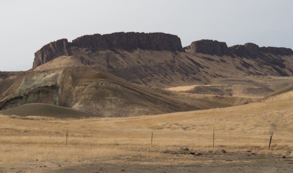

When I used to work for Oregon State Parks on the coast the joke was that if you really messed up you were going to be sent to Succor Creek State Park. Let me tell you, it’s pretty rough duty taking in all the views. Maybe I should have reconsidered my job performance.

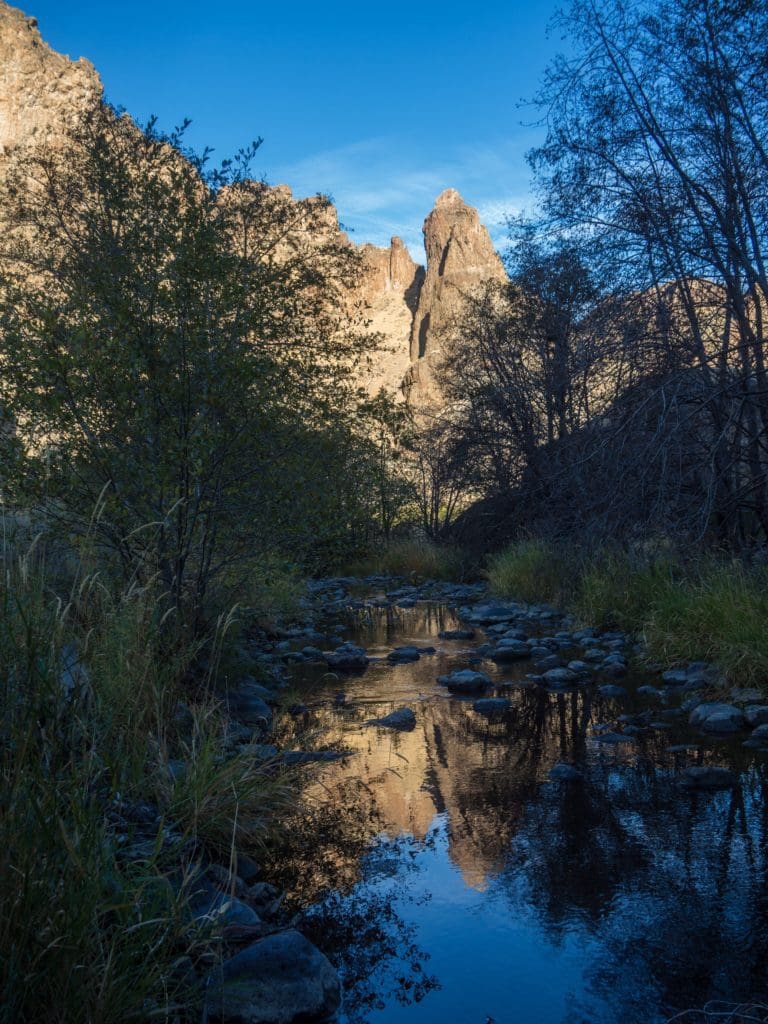
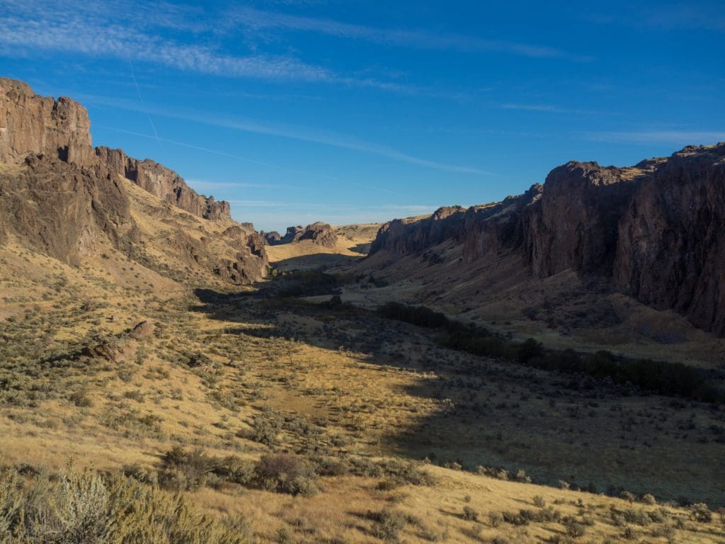
After the night at Succor Creek enjoying a campfire and the plentiful stars it was on to Leslie Gulch.
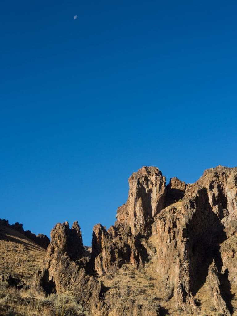
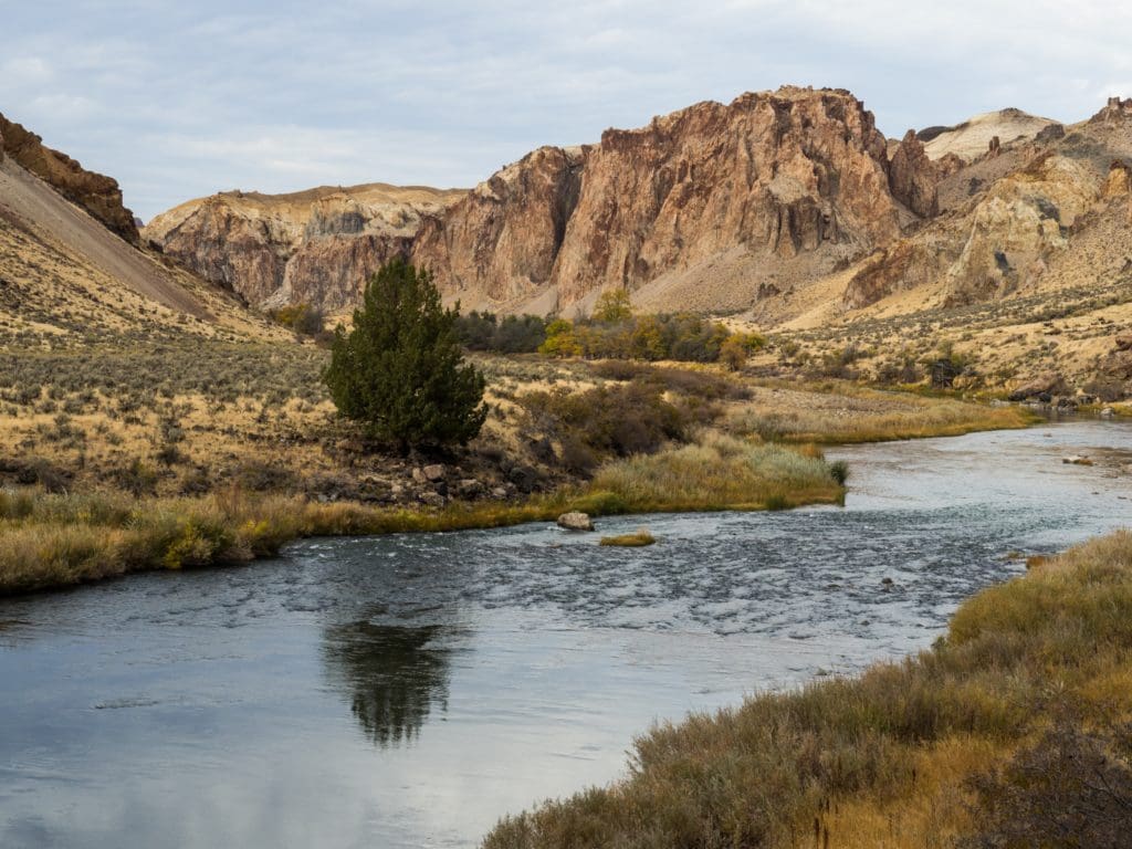
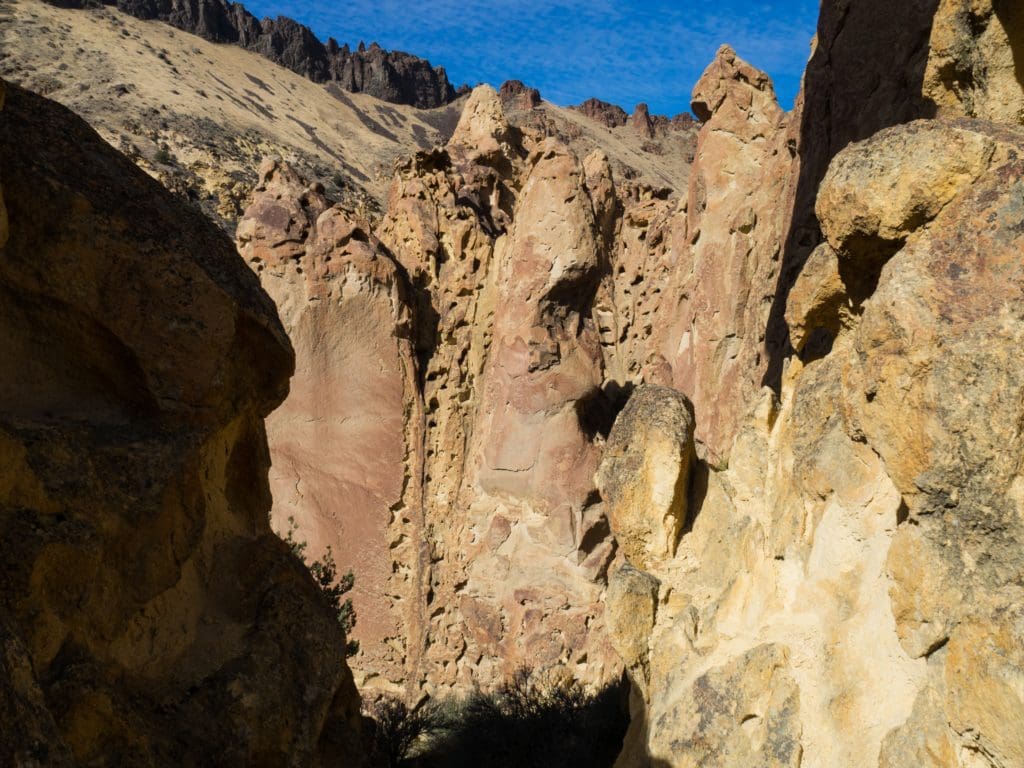
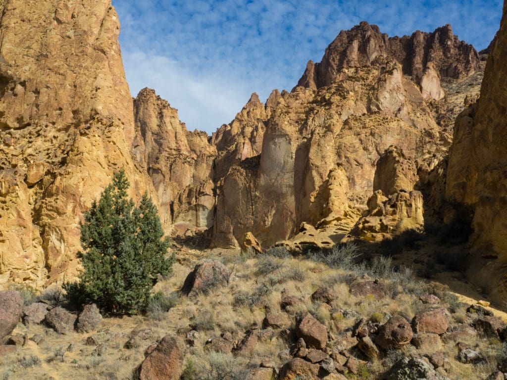
Leslie Gulch eventually leads down to the Owyhee Reservoir. The reservoir is currently low enough that it is actually still the flowing Owyhee River. The gulch is full of fantastic rock formations consisting of welded tuff that has eroded over many years. You find yourself staring at all the rocks seeing what patterns, animals and faces you might pick out of them. There is (was) a fairly large heard of bighorn sheep that inhabits this area. We were on the lookout for them, but a sign at the boat ramp said that the herd is currently suffering from a respiratory disease and 70% of the herd has died. We had to settle for the vistas, rocks and blue skies (sigh).
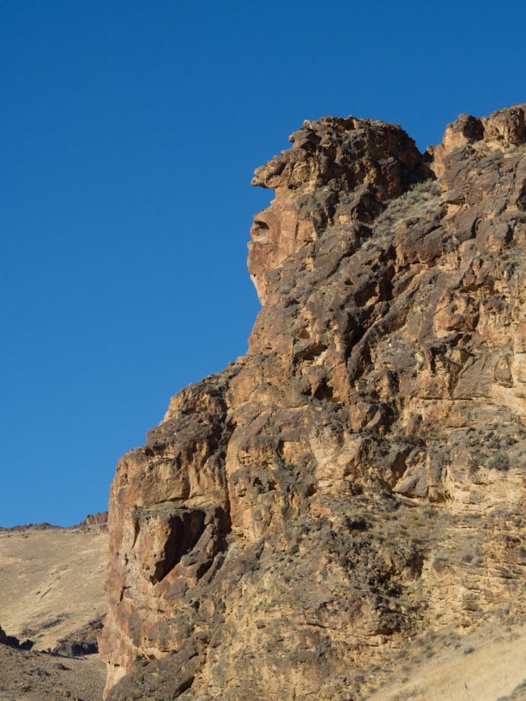
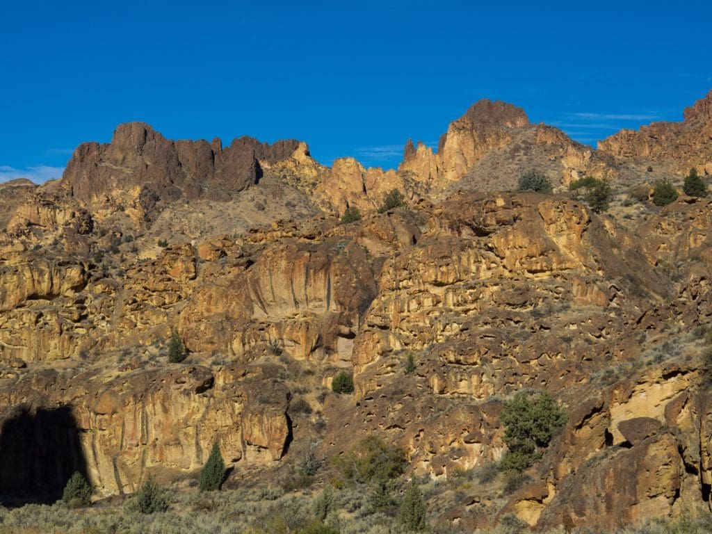
There are several side gulches to hike up. We hit Timber, Juniper and Dago gulches. (click on the photo if you want a full size view)
I love being out in the fall but the October days are sure short. After three side hikes and a bit of exploring it was time to get moving to where we planned to camp so we could find a spot in the daylight.
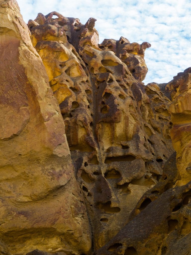
We headed out of Leslie Gulch as we the lone camping option at Slocum Creek Campground wasn’t all that appealing. We ventured upriver to Birch Creek, and I’m sure glad we did. More about that in the next installment.
